

Day 3 in the Salzburg region. We’d already hiked Kapuzinerberg, wandered the fortress walls, and gotten chased off the Untersberg by lightning. Naturally, the plan for today was: more hiking. A different mountain this time, out east of the city near the lakes.
The Approach#
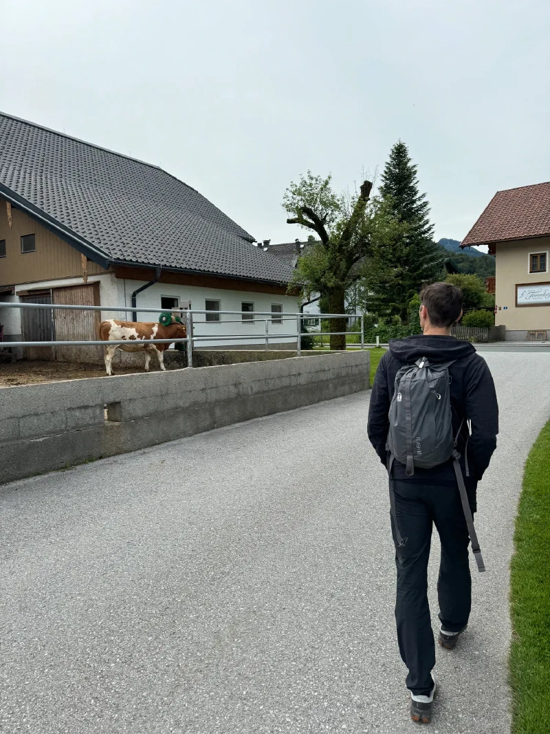
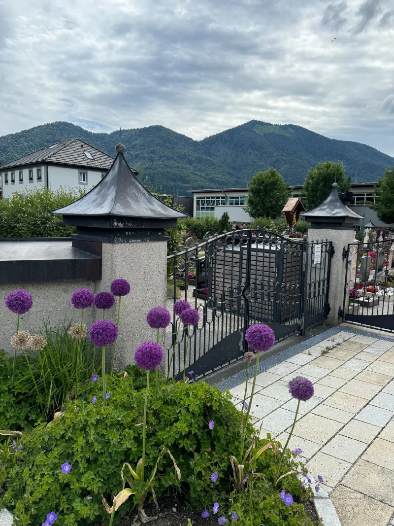
The morning started with a walk through one of those immaculate Austrian villages where even the cows look like they’ve been briefed on presentation standards.
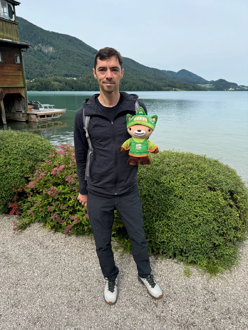
We passed by a lake on the way to the trailhead. I insisted on a photo. The water was calm, the mountains were doing their thing, and I looked fantastic. Standard.
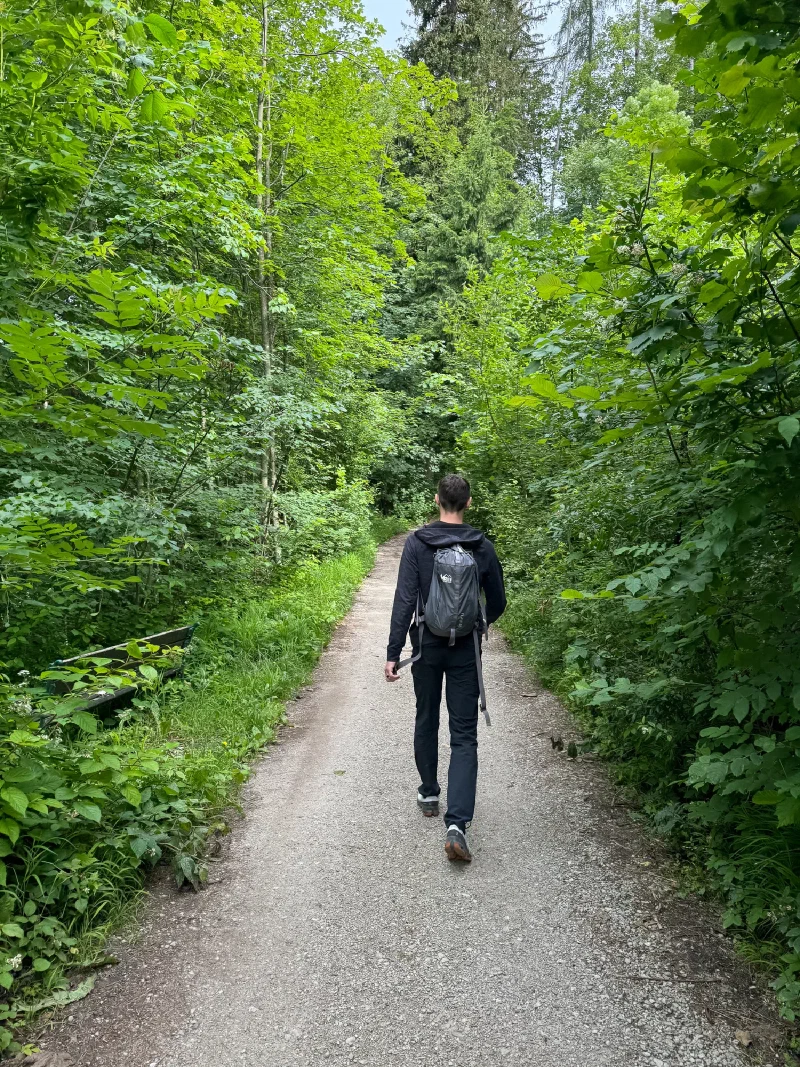
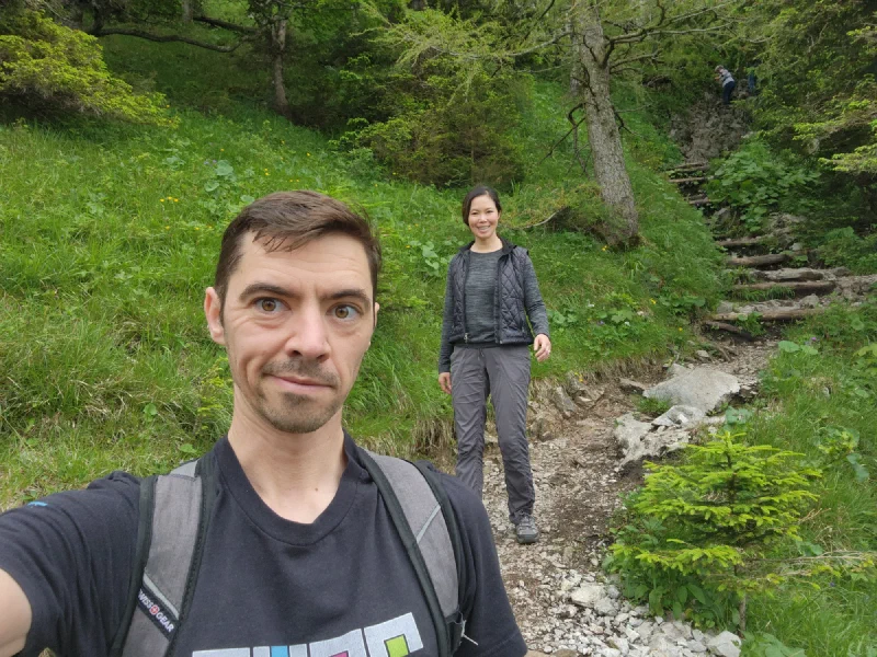
The trail started gently. A wide gravel path through dense green forest, the kind of walk where you think “this is nice” and forget that you’re gaining elevation.
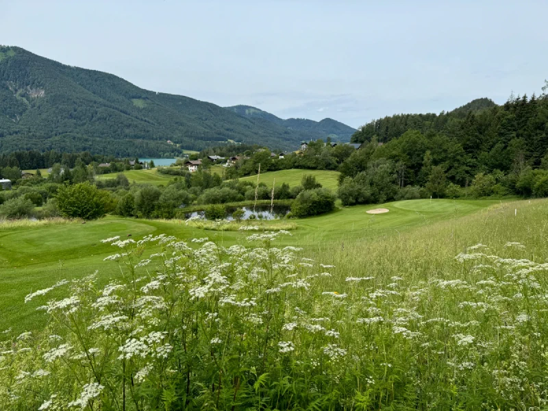
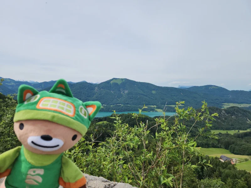
Then the trees opened up and we got our first real view: rolling meadows, a golf course (because Austria), scattered farmhouses, and a sliver of lake in the distance.
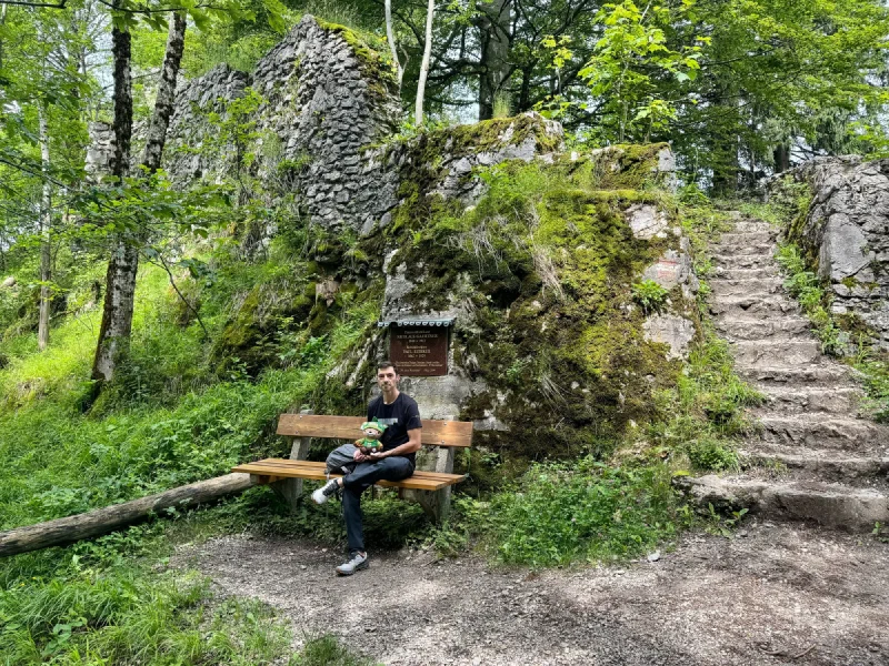
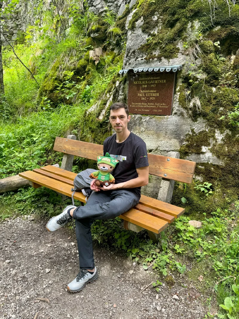
The Ruins#
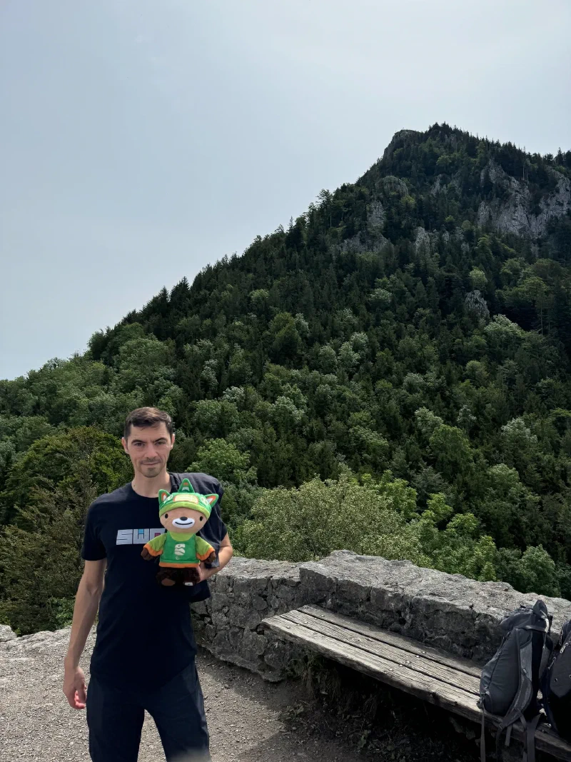
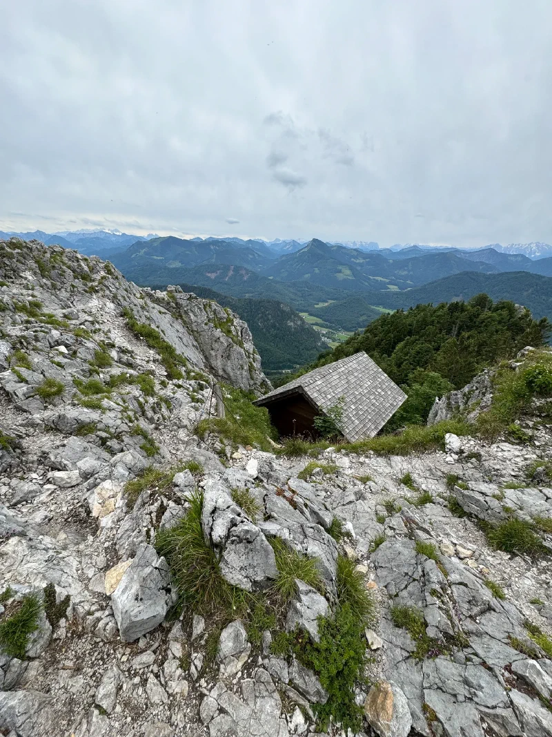
About an hour up, we reached a castle ruin tucked into the forest. Moss-covered walls, old stone steps disappearing into the trees, and a memorial plaque set into the rock. The plaque was dedicated to one Nicolaus Gaertner, among others.
Nicholas photographed it immediately. Obviously.
From the lookout near the ruins, the valley opened up below. Farmland, villages, forests, and what looked like a lake glinting in the distance.
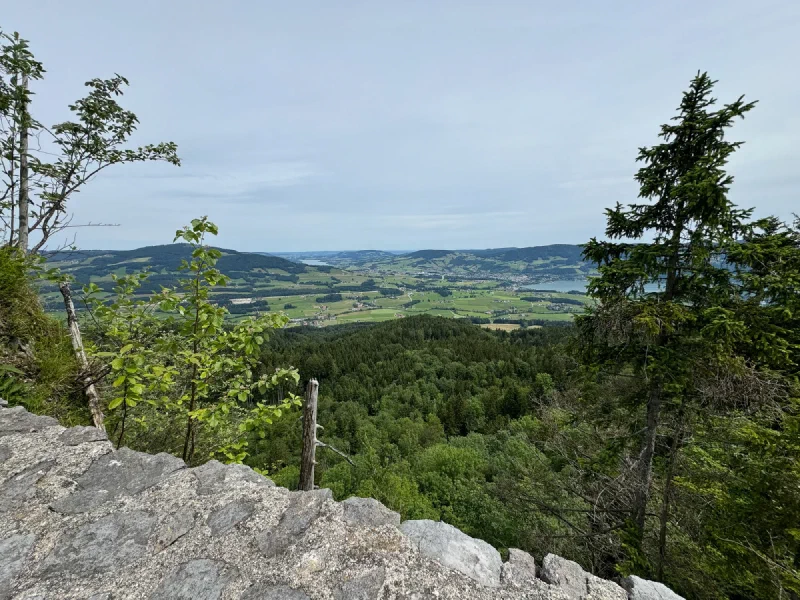
I took my position on the tower lookout and surveyed my lands. Everything the light touches, and so on.
The Split#
Then we reached the sign.
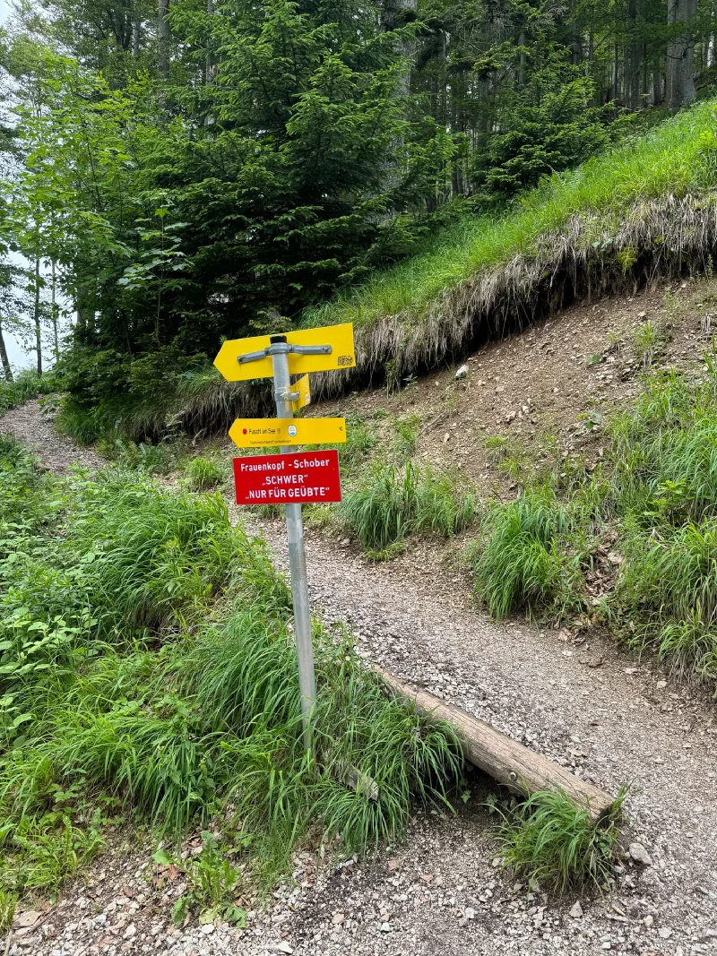
Two routes to the summit. One normal. One labeled SCHWER — difficult, for experienced hikers only. Nicholas looked at the sign, looked at Pokin, and they agreed to split up. He’d take the extreme route. She’d take the normal one. They’d meet at the top.
I was in his bag. I did not get a vote.
The Scramble#
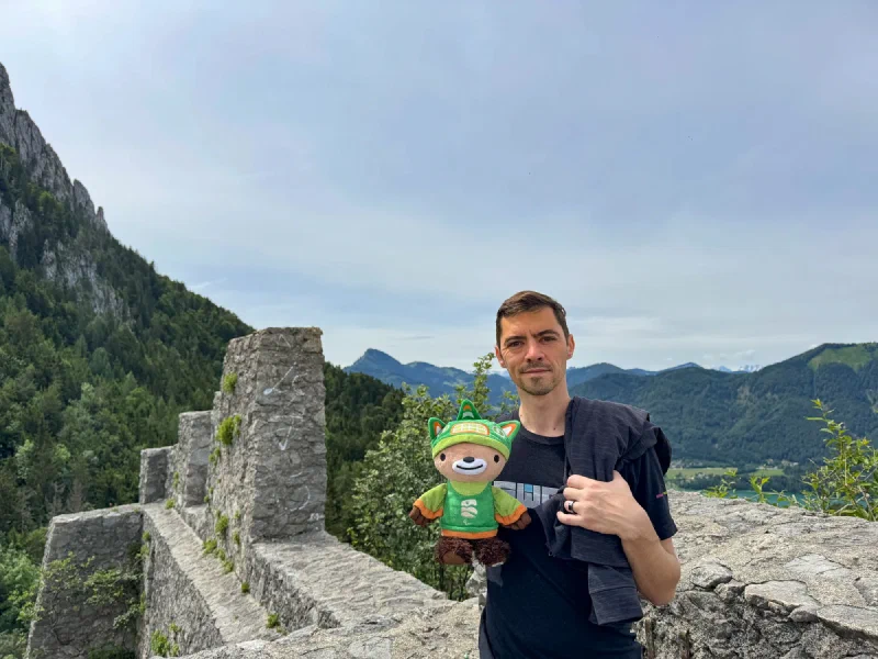
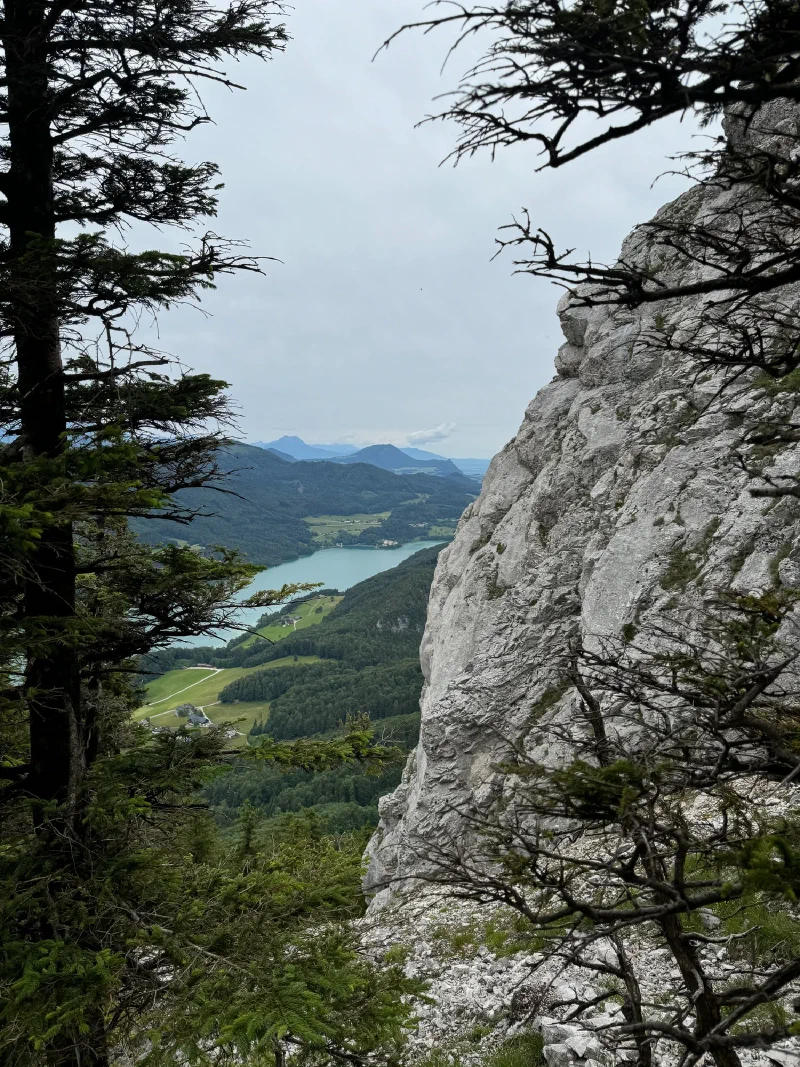
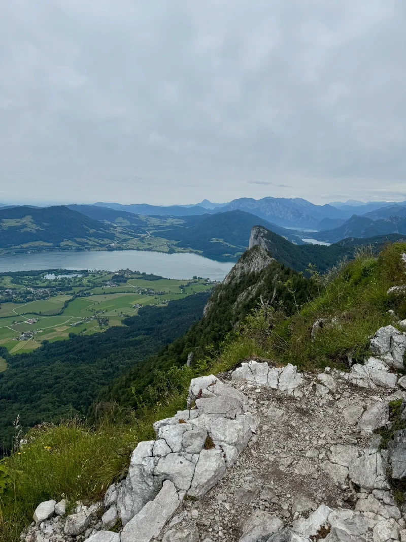
The extreme route was not messing around. The easy forest path was gone. Instead: limestone walls, narrow ledges, exposed rock, and views straight down through the trees to a turquoise lake far below.
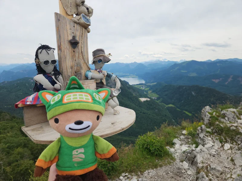
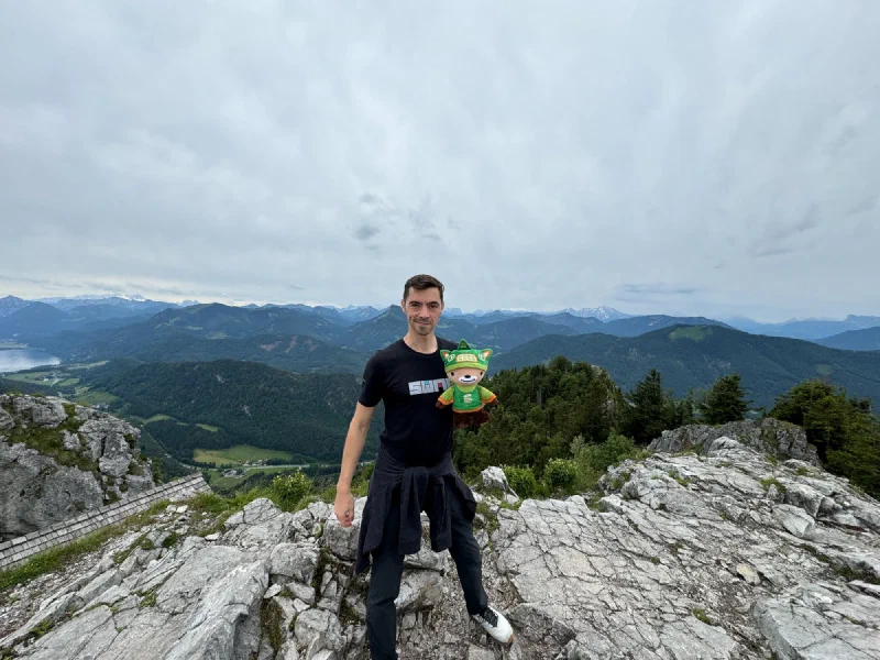
Nicholas did his usual mountain goat thing, scrambling up through the rock and reaching the summit area at about 1,378 meters. At the top, we found a weird little installation: handmade figures with hats and sunglasses sitting on the summit furniture. Very Austrian. Very charming. Very unexplained.
Then he ran back down the other side to find Pokin, who was working her way up the normal route. They met somewhere in the middle.
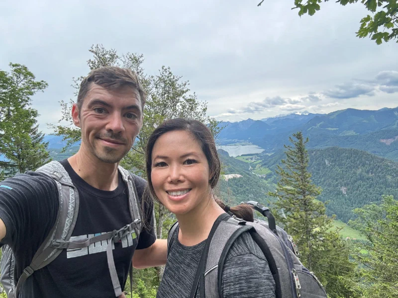
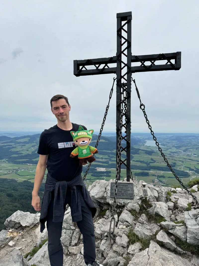
The Reunion at the Top#
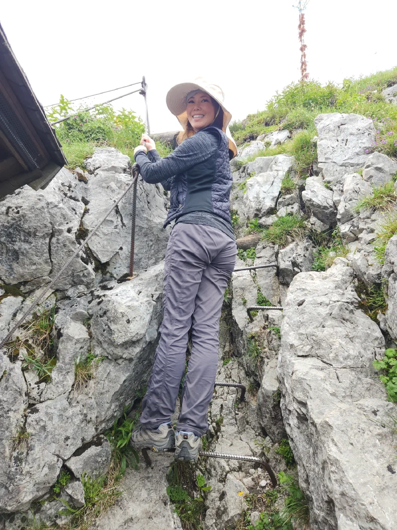
Pokin’s route had its own finale. The last section involved fixed steel cables and metal footholds bolted into the limestone. She climbed it smiling, which says more about her than it does about the difficulty rating.
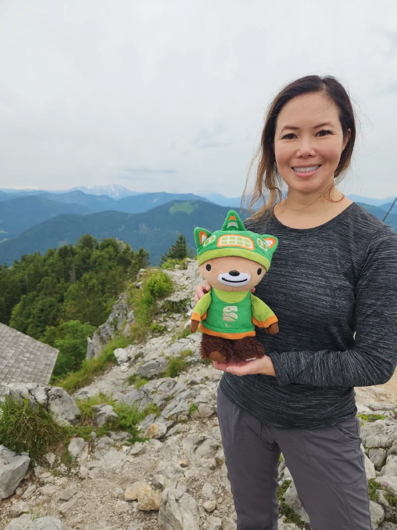
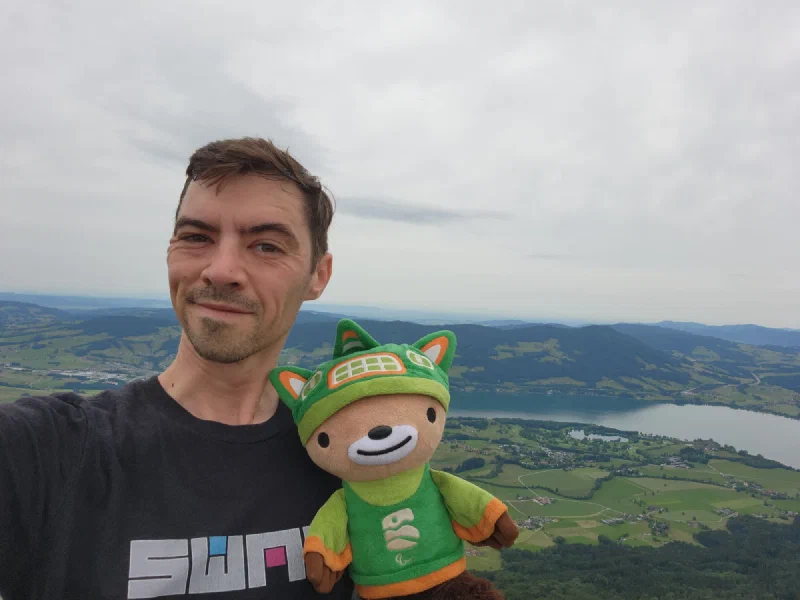
Together at the top, the views were huge. Summit cross, jagged limestone, and layer after layer of mountains fading into the distance.
The Descent#
We hiked back down through the forest, trading summit rock for tree cover and switchbacks.
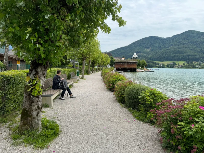
The Conference Call#
Back in the village where we started, Nicholas’s phone rang. Work. He found a bench by the lake, put his headset on, and took a conference call with mountains behind him and a boathouse across the water. The people on the other end had absolutely no idea.
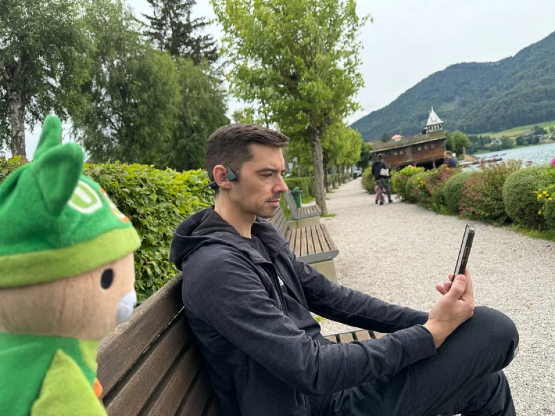
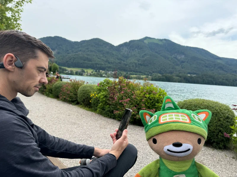
I sat next to him for the duration and offered no help whatsoever.
Three days in. Three mountains. Nicholas keeps finding things labeled “difficult” and treating them as suggestions. Pokin keeps climbing them anyway. And I keep ending up in the bag for the steep parts, which is honestly where I prefer to be.
One more day in Salzburg. Something about a castle, I’m told.