

The whole reason we went to Jeju was this mountain.
Hallasan. South Korea’s highest peak. 1,950 meters of volcanic rock with a crater lake at the top. Nicholas had been planning to hike it since before we landed in Korea, back when his knee was still held together by stitches and optimism. By Jeju, the stitches were out and the optimism was holding. Barely.
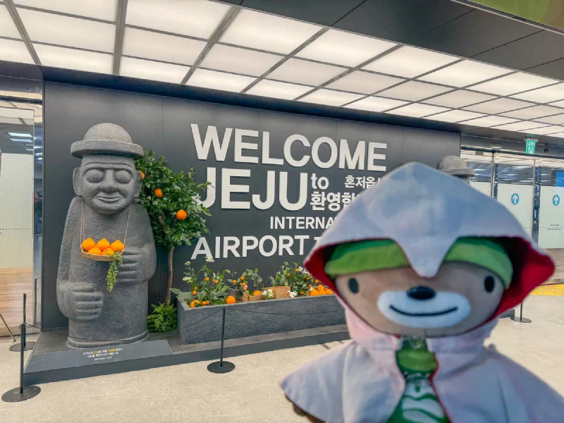
We landed on Jeju and I immediately found the dol hareubang — the stone grandfather statues that are everywhere on this island. Big guy, stone hat, holding a basket of hallabong oranges. I liked him. He looked like the kind of guardian who wouldn’t make you hike in snow.
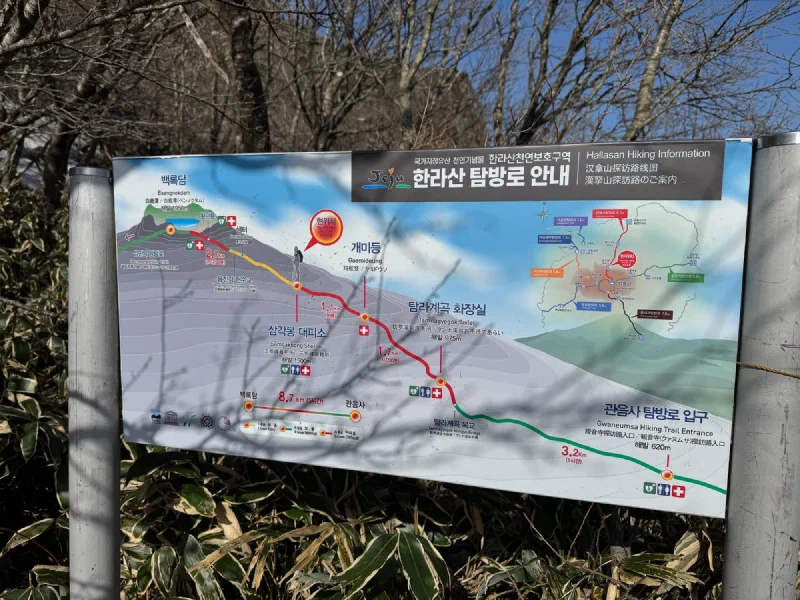
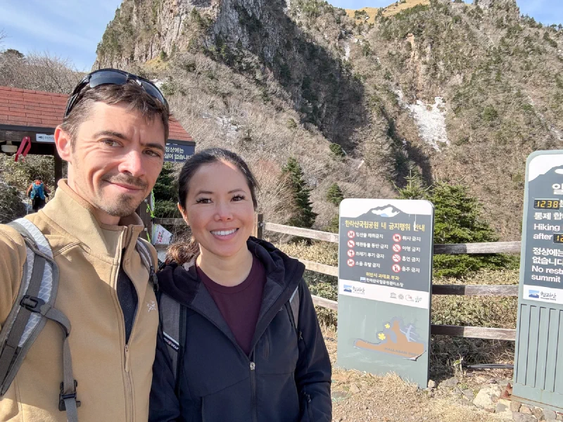
We booked a reservation (yes, you need a reservation to hike a mountain in Korea), set an alarm for an unreasonable hour, and showed up at the Gwaneum-sa trailhead ready to go.
What nobody told us was that the mountain would still be covered in snow.
We didn’t have crampons. We didn’t have microspikes. We had trail shoes and confidence, which is basically the same thing if you don’t think about it too hard.
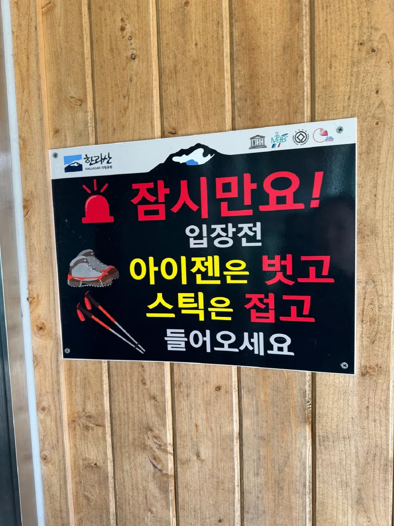
The guy at the entry checkpoint took one look at us and said it was impossible to climb without proper traction gear. Told us to turn around. We nodded politely and decided to go up “as far as we could until it felt too difficult.”
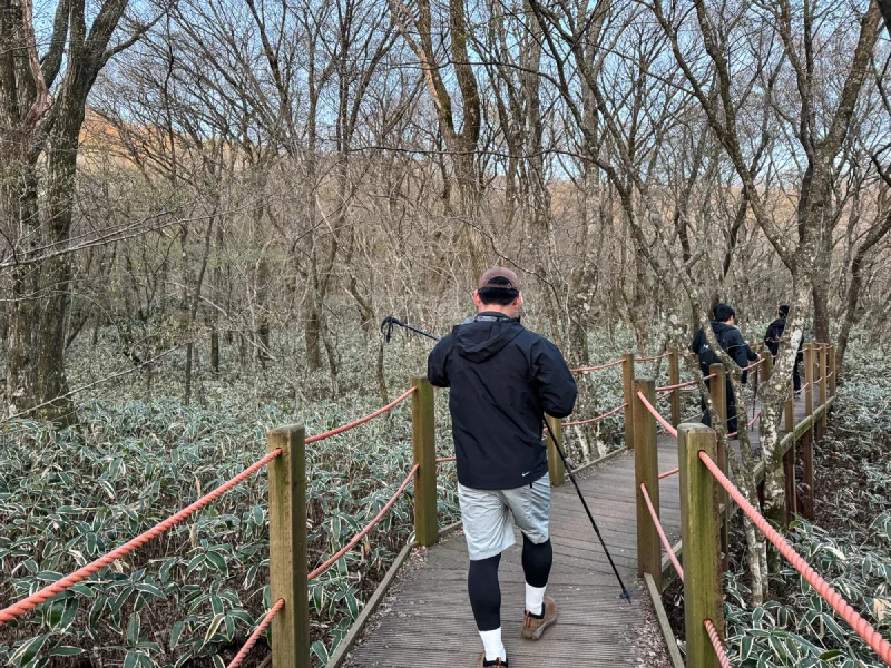
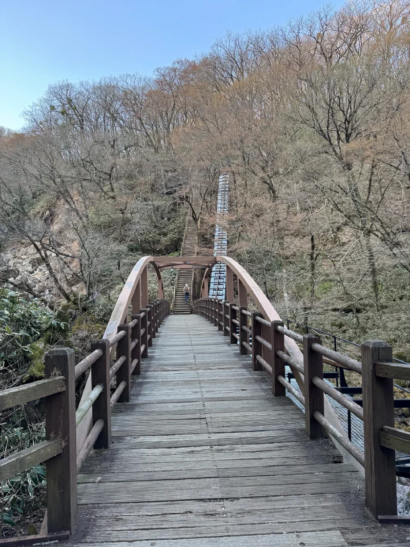
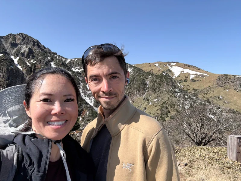
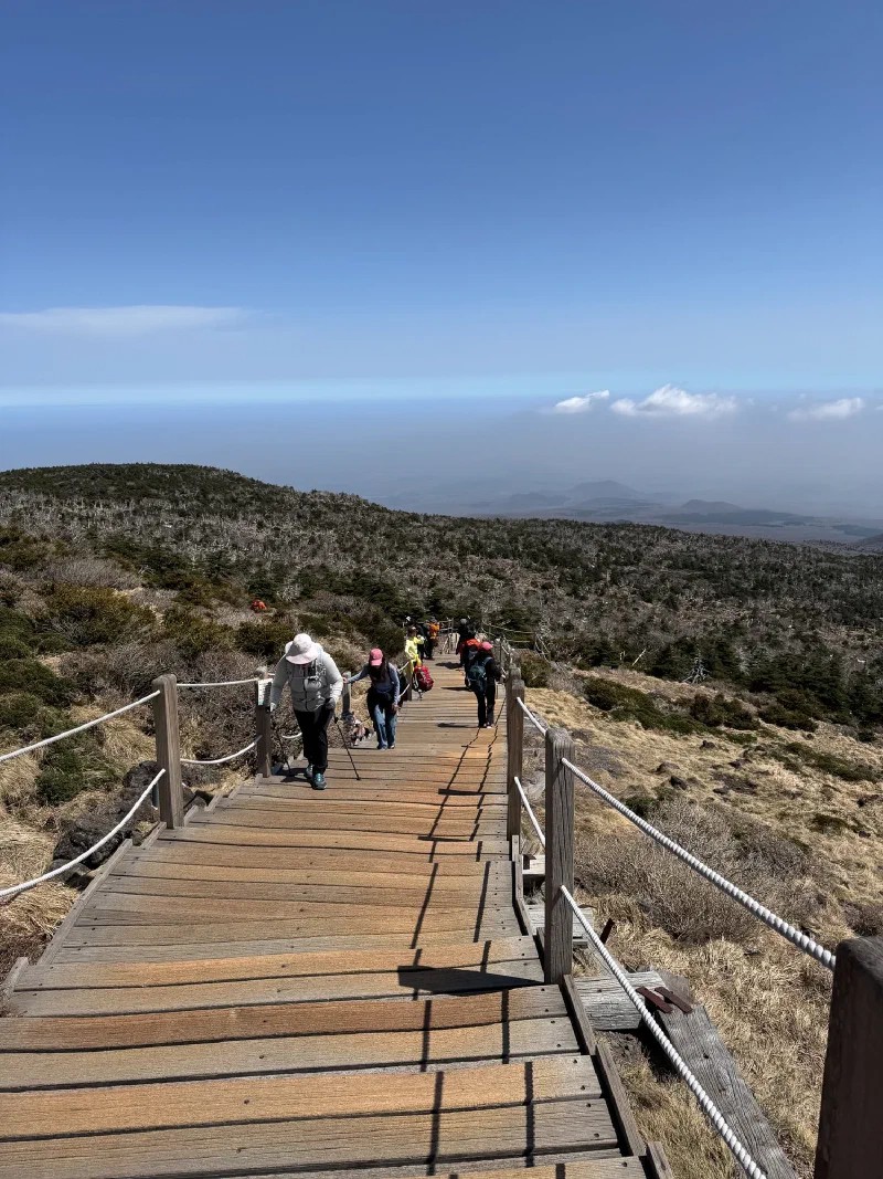
The lower trail was fine. Boardwalks winding through Jeju’s dwarf bamboo, bare winter trees overhead, everything calm and civilized. Nicholas’s knee was cooperating. Life was good.
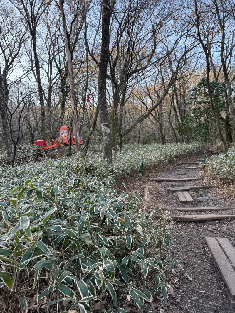
That orange thing on the rail? That’s a mountain rescue cart. For when people can’t make it back down on their own. Noted.
Then the snow started.
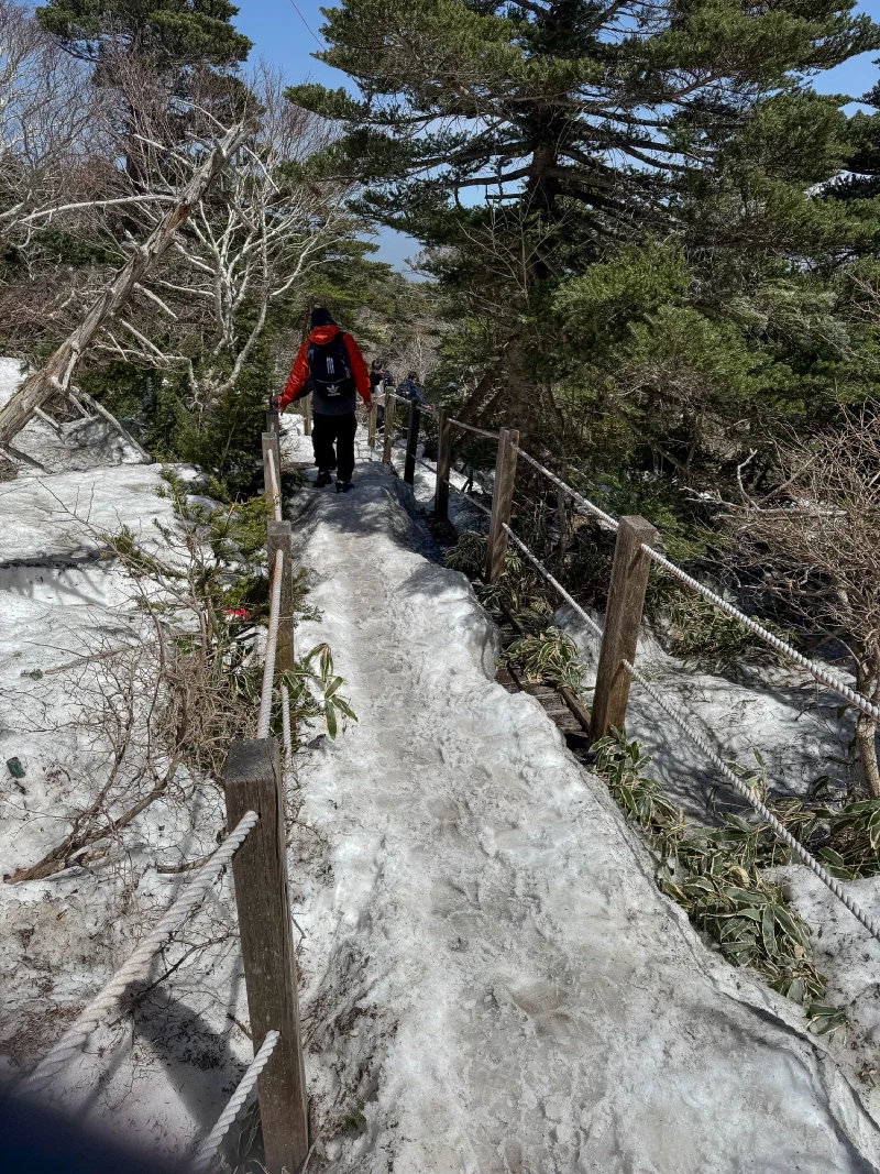
The trail turned into a sheet of packed ice. Compacted snow with a glaze on top, the kind where every step is a negotiation between your shoe and gravity. The rope railings became less “helpful guide” and more “the only thing between you and sliding back to the trailhead.”
Here’s what happened. Nicholas was moving fast. Too fast. He gets into this zone on hikes where he locks in and just goes, and his legs apparently forgot they were supposed to be recovering from a ski accident six weeks ago. I was in the backpack, so I had no say in the pacing.
Pokin was behind us. She wanted to turn around. The ice was getting worse, the snow was getting deeper, and she is a sensible person.
But she couldn’t catch us.
Nicholas was so far ahead that by the time Pokin decided she’d had enough, we were already past the point where turning around felt more dangerous than continuing. So she kept going. And we kept going. And nobody stopped.
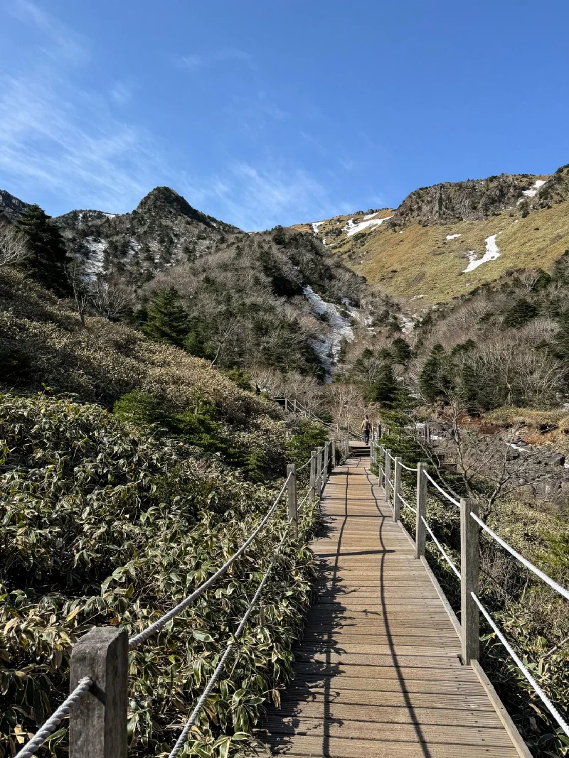
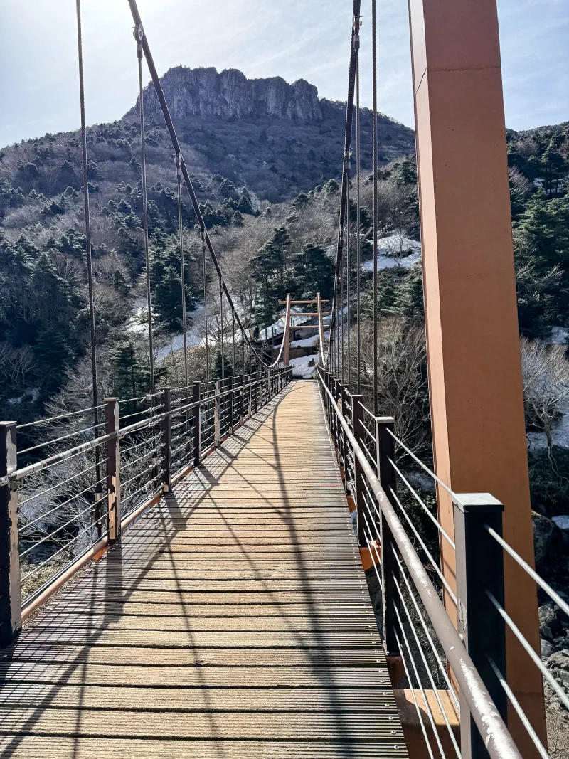
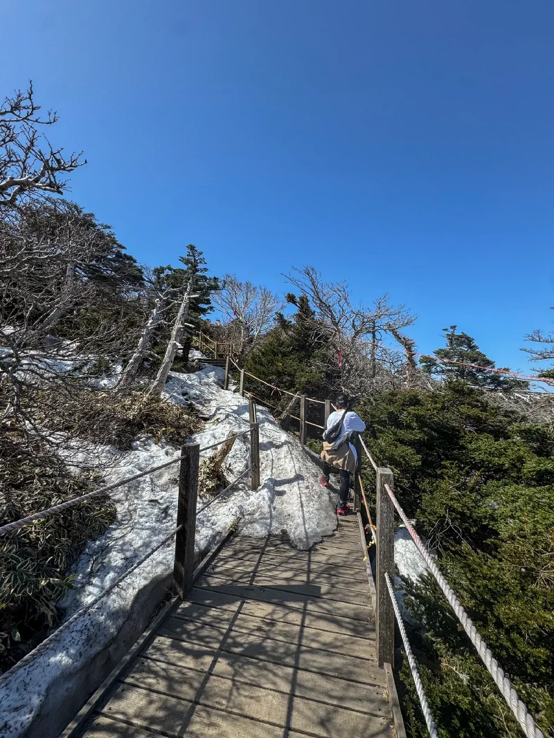
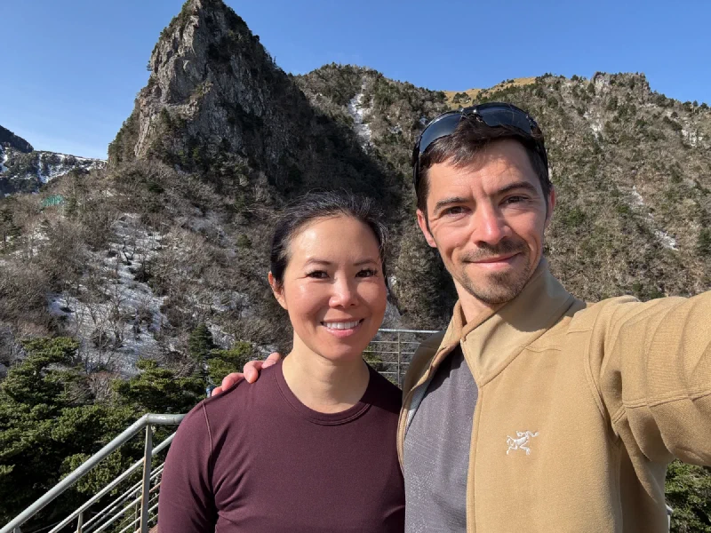
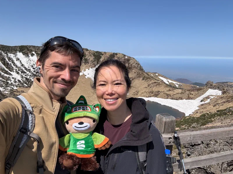
Above the treeline, the trail opened up. Wooden boardwalks through alpine bamboo meadows with the volcanic summit ridge towering above. The snow thinned out in the exposed sections. The sun was out. For about twenty minutes, it almost felt like a normal hike.
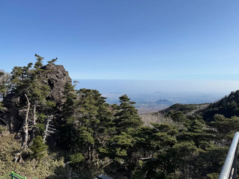
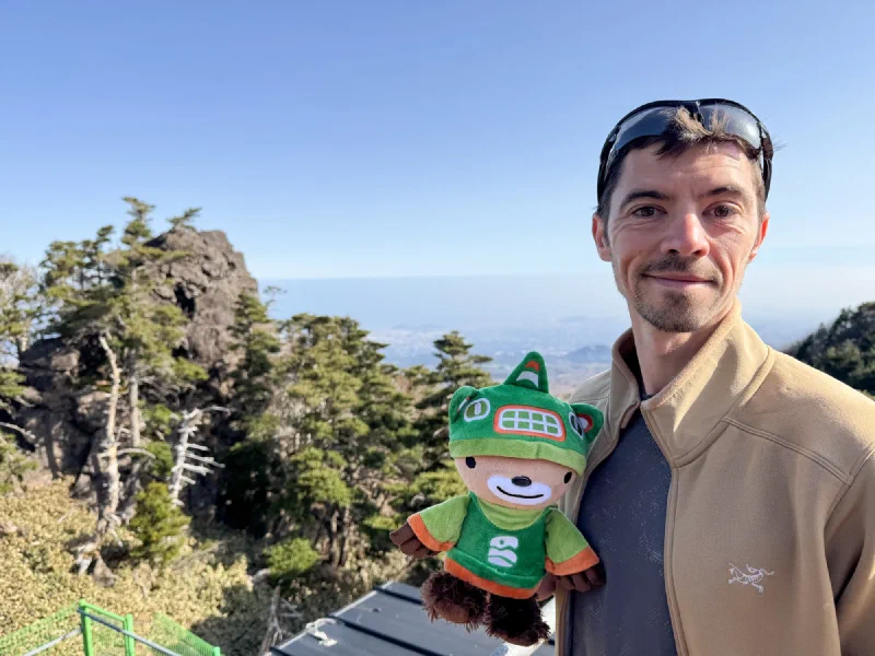
The views from up here go all the way to the ocean. You can see the entire island laid out beneath you — coast to coast, with those little parasitic cones scattered across the lowlands. Jeju is basically one giant volcano with a bunch of baby volcanoes on its sides.
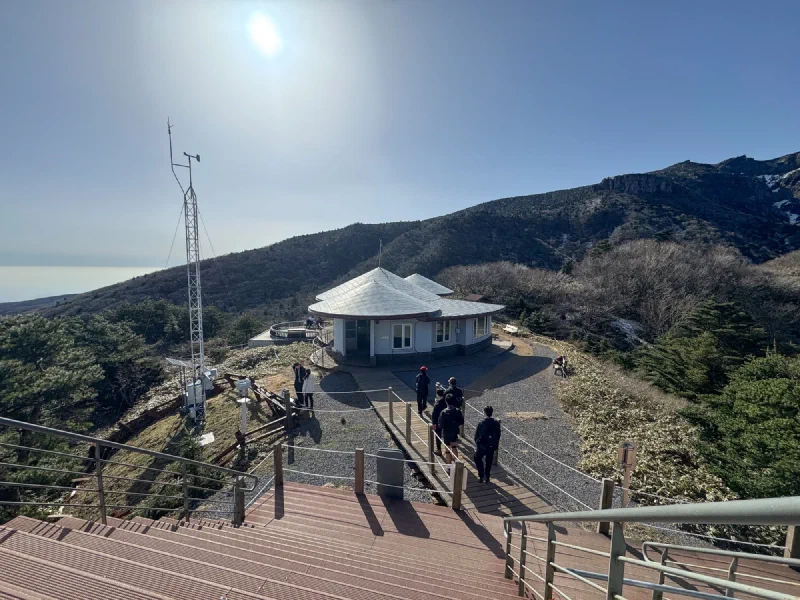
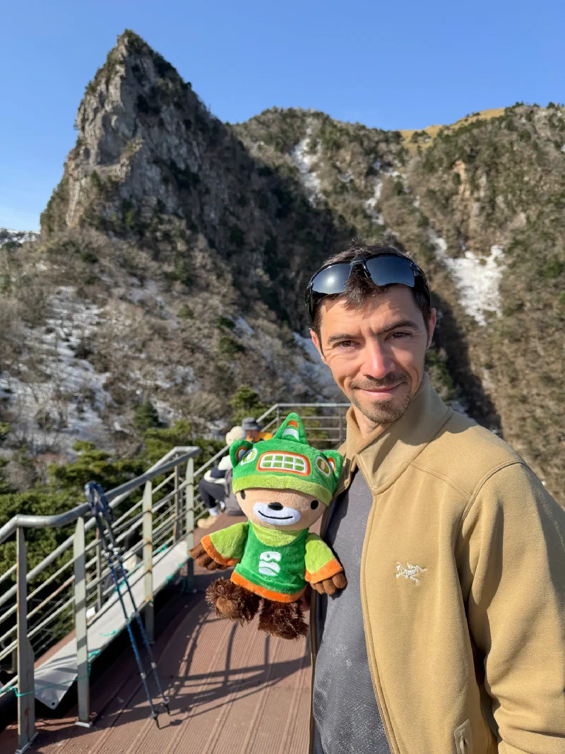
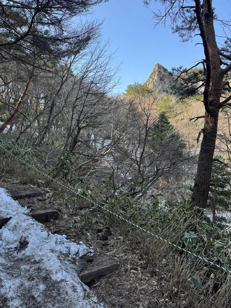
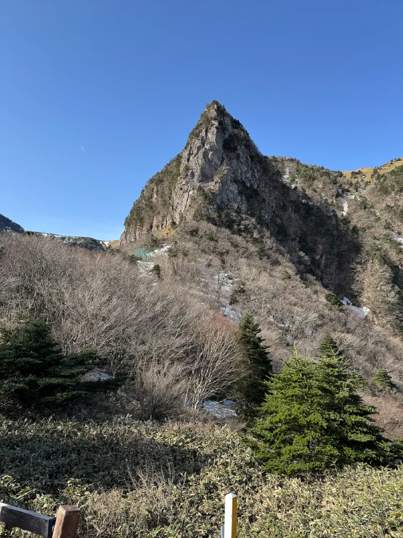
The summit area is volcanic chaos. Jagged rock spires, sheer crater walls, the remnants of an eruption that happened long before anyone was around to complain about it. They’ve built a whole observation platform up there with wooden decking and railings.
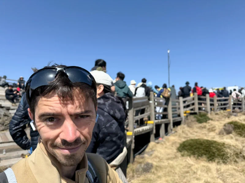
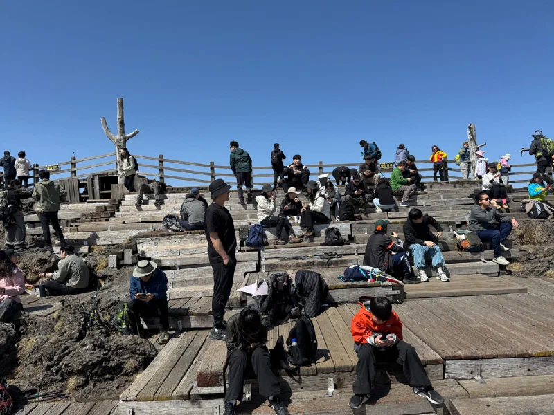
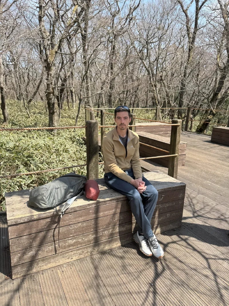
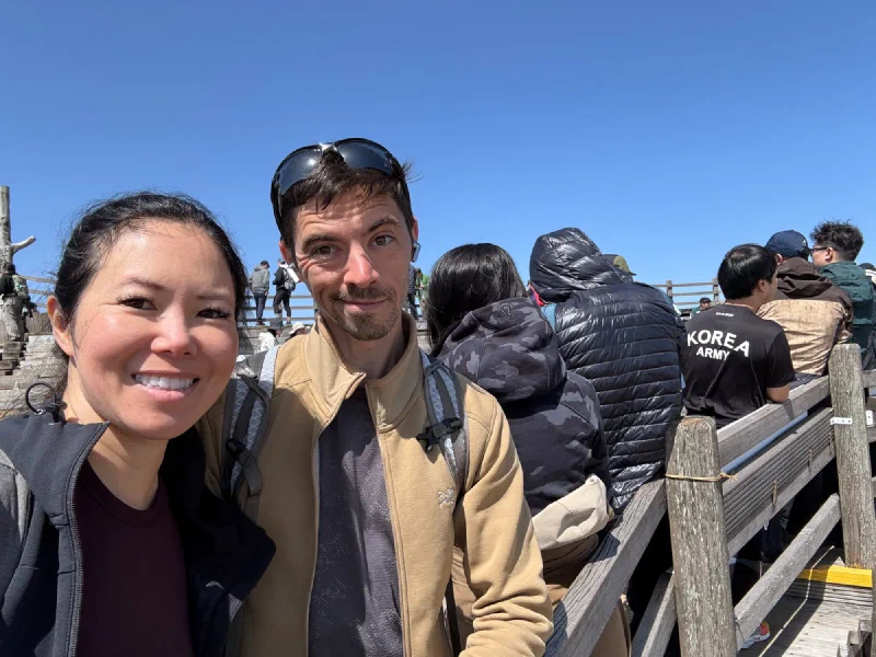
The summit was packed. Dozens of hikers sitting on the wooden decks, eating, resting, checking their phones. Half of them had crampons strapped to their packs. We pretended we left ours in the car.
And then we saw the crater.
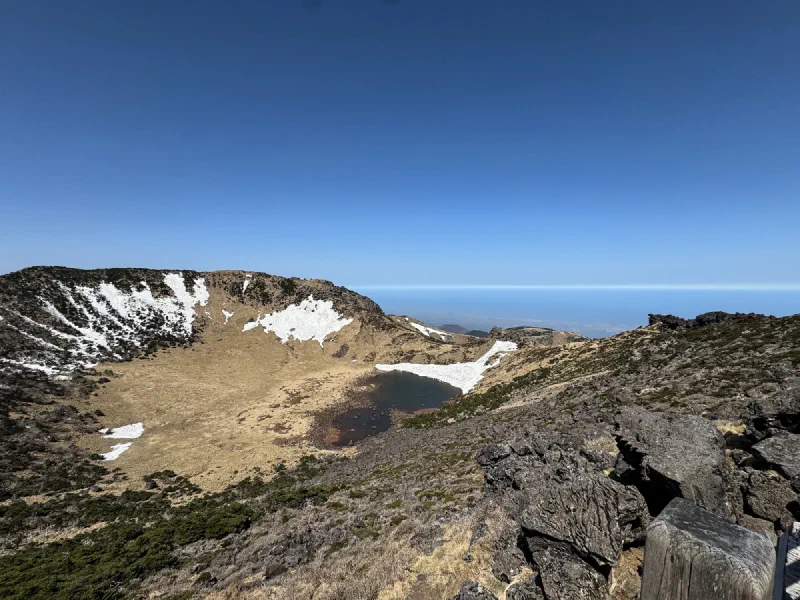
Baengnokdam. The crater lake at the very top of Hallasan. A dark pool sitting at the bottom of a volcanic bowl, ringed by snow-patched walls and golden alpine grass, with the entire island falling away to the sea beyond the rim.
I’m not going to say it was worth almost dying on the ice for. But I’m not going to say it wasn’t.
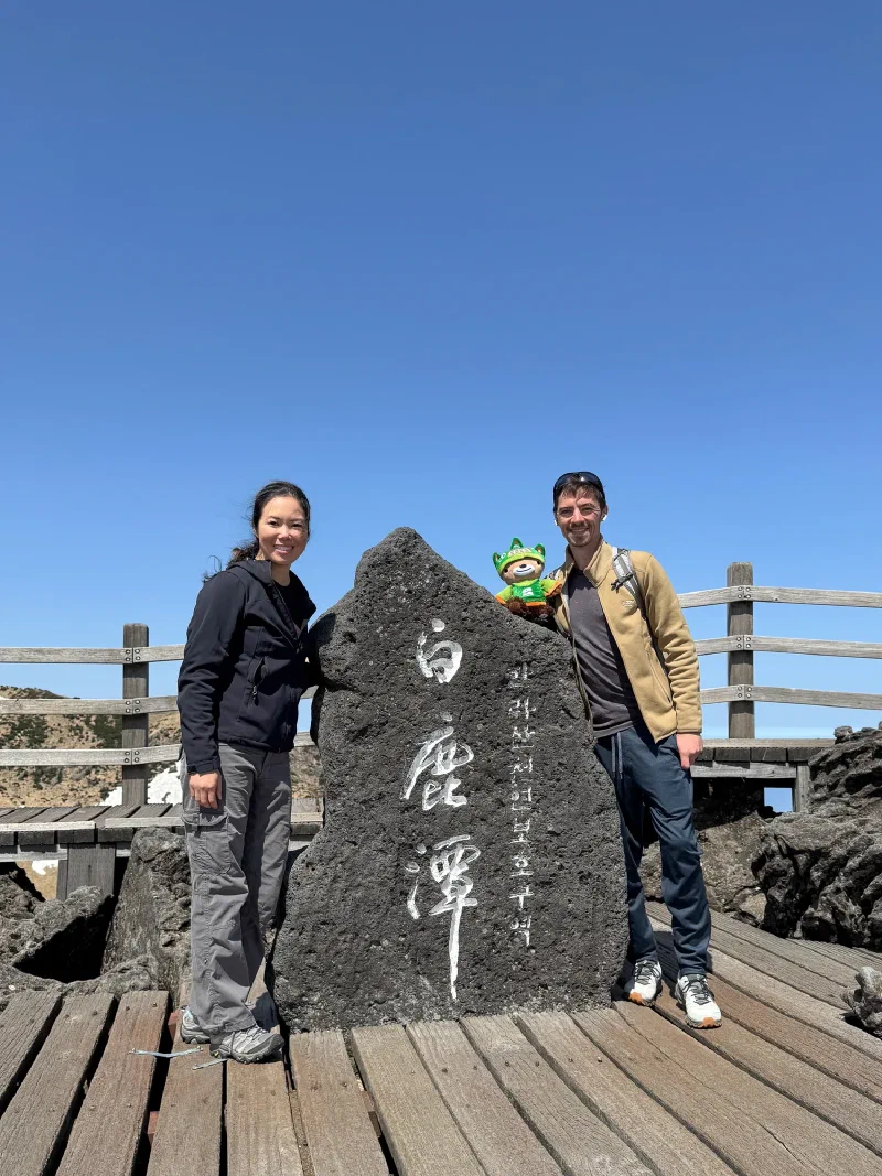
We found the summit marker stone. “白鹿潭” carved into volcanic basalt. I took my rightful position on top of it.
Pokin, by the way, was jealous of all the other hikers eating piping hot cup noodles at the summit. Apparently that’s a thing on Korean mountains — you hike up, you eat ramen at the top. We didn’t know. We brought granola bars like amateurs.
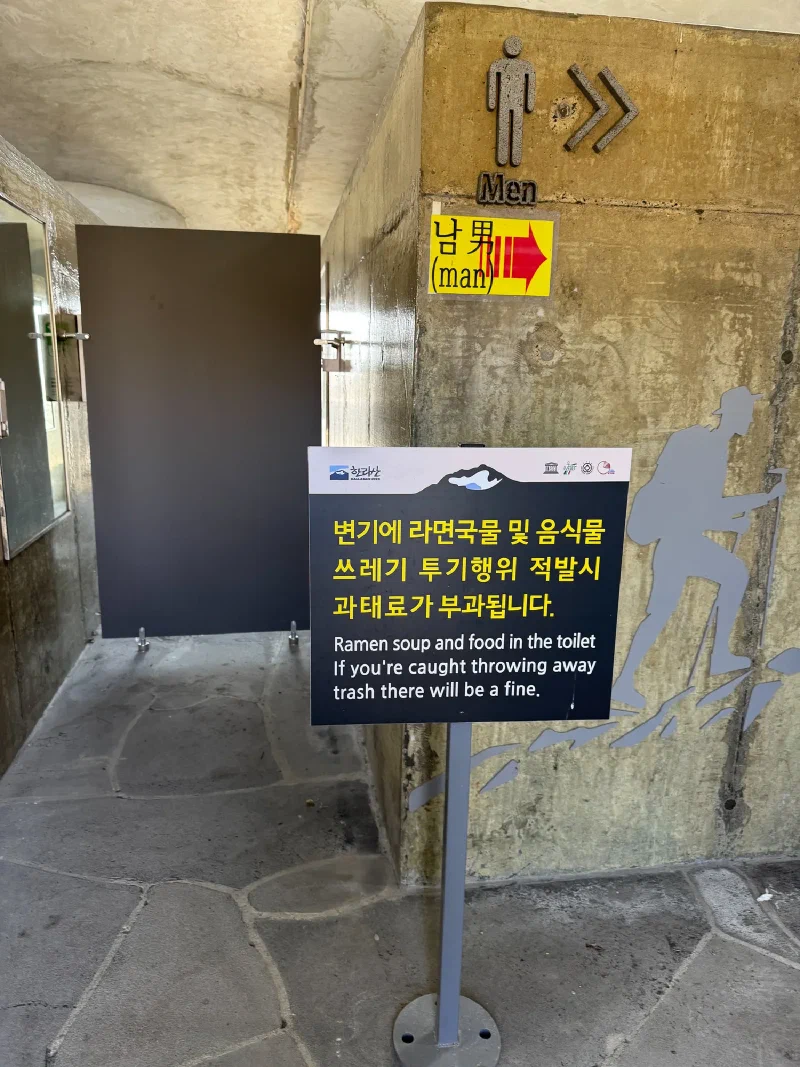
The ramen situation is so serious that the park had to put up signs warning people not to dump their leftover broth in the toilets. Fines and everything. This is the level of ramen commitment we’re dealing with.
Now came the fun part: getting down.
We decided that descending the way we came up was probably too slippery and dangerous without crampons. There was a second route down that should be easier.
It was not easier. Just as snowy. Just as icy. Just as much “grab the rope railing and pray.”
On the way down, though — above the clouds, Jeju’s coastline stretched out below us, the oreums dotting the island like green bubbles from up here. Almost made you forget your shoes had no grip.
But we made it. Both knees intact. All 186 grams of me accounted for.
Back on flat ground, we did what any reasonable group of people would do after accidentally summiting a mountain: we ate everything.
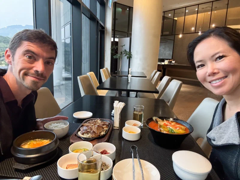
The hotel restaurant delivered. Sizzling bulgogi, a stone pot of soft tofu stew, a massive bowl of seafood jjamppong, and banchan stretching across the table. After eight hours of hiking on ice, I have never been more grateful for a hot plate of meat.
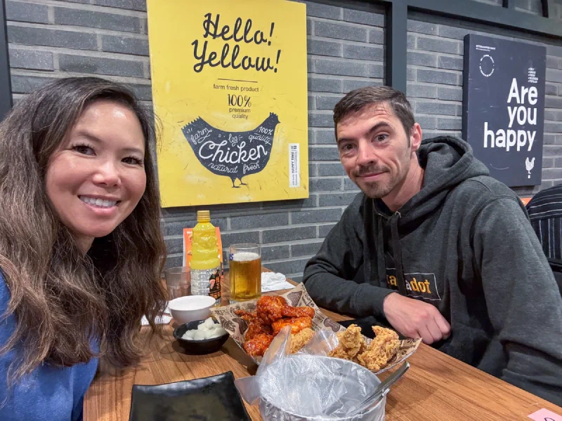
Then chimaek. Korean fried chicken — half yangnyeom (spicy glazed), half crispy — with beer. This is apparently the correct way to end any day in Korea. I don’t argue with traditions that involve fried food.
We made it back to the hotel in time to watch Nanta, a Korean percussion show, which was loud and chaotic and exactly the right energy for a day that started with “we’ll go as far as we can” and ended at the summit of South Korea’s highest mountain.
Oh, and across from the hotel? A planetarium.
Of course I made Nicholas take me.
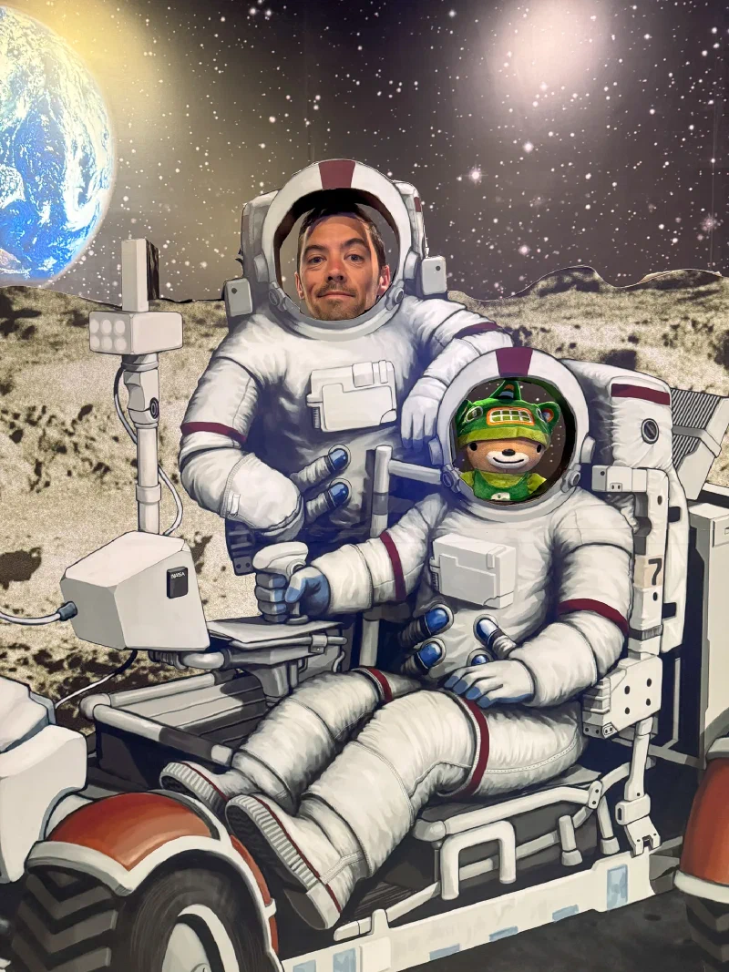
We checked out the space exhibits, posed as astronauts on a lunar rover (I fit the helmet better, for the record), and I got to look at the stars from an island in the middle of the ocean.
Hallasan didn’t care that we didn’t have crampons. It didn’t care about Nicholas’s knee. It just sat there being a volcano while we slid our way to the top and back. The mountain doesn’t negotiate. You show up, you deal with whatever it gives you, and if you make it back down, you eat chicken.
We made it back down.
We ate the chicken.