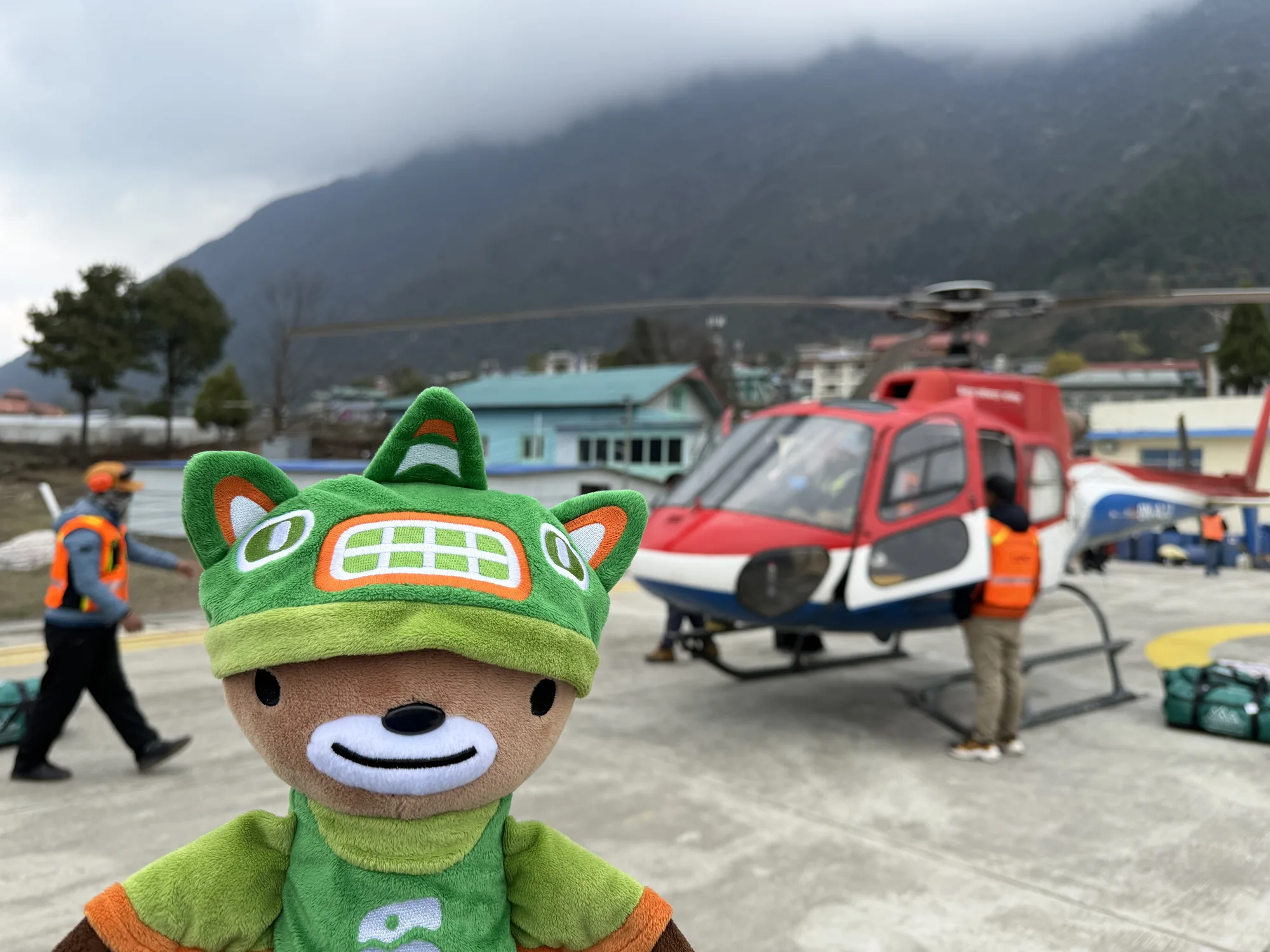

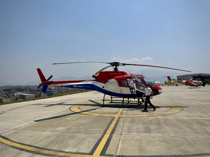
They walked us across the lot to a helicopter. A Kailash helicopter. Tail number 9N-AJJ. The real deal. Whatever that guy at the counter had tried to pull, we were on the right aircraft.
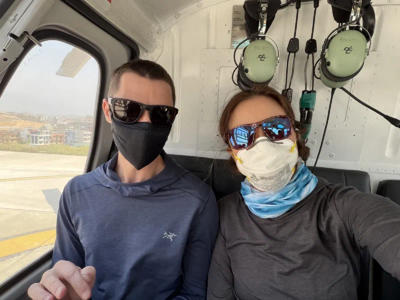
We loaded up fast. Headsets on. Doors closed.
The Flight#
Nepal is entirely VFR. Visual Flight Rules. That means pilots fly by sight. No instrument approaches, no radar guidance, no flying through clouds. If you can’t see where you’re going, you don’t go.
We took off fast. After seven hours of waiting, we were airborne in seconds and immediately skimming over the mountaintops. The views were exactly what you’d expect from helicopter-level altitude over the Himalayan foothills. Valleys. Rivers. Terraced hillsides. Spectacular.
For about forty minutes.
Then we hit the Everest region, and the clouds came in thick.
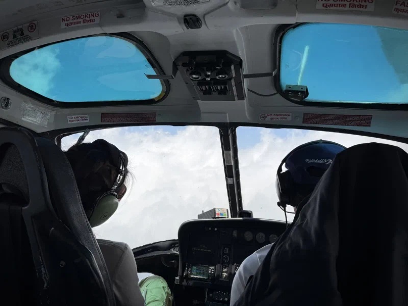
Our pilot started circling, trying to climb above the cloud layer that was rapidly building around us. Swirling white in every direction. He kept calling Lukla on the radio for a weather update, but the mountains were blocking the signal. No response. Just static, clouds, and a helicopter trying to find a gap.
We were getting boxed in.
This is why you fly at 6 AM and not 1 PM. Morning air is calm and clear. By afternoon, the sun has heated the valleys, thermals push moisture up the mountainsides, and cloud cover smothers everything. We were living the exact scenario we’d tried to avoid.
The pilot aborted. We thought he was turning back to Kathmandu. Then he veered hard to the right, dropped into the next valley, and there it was.
Lukla.
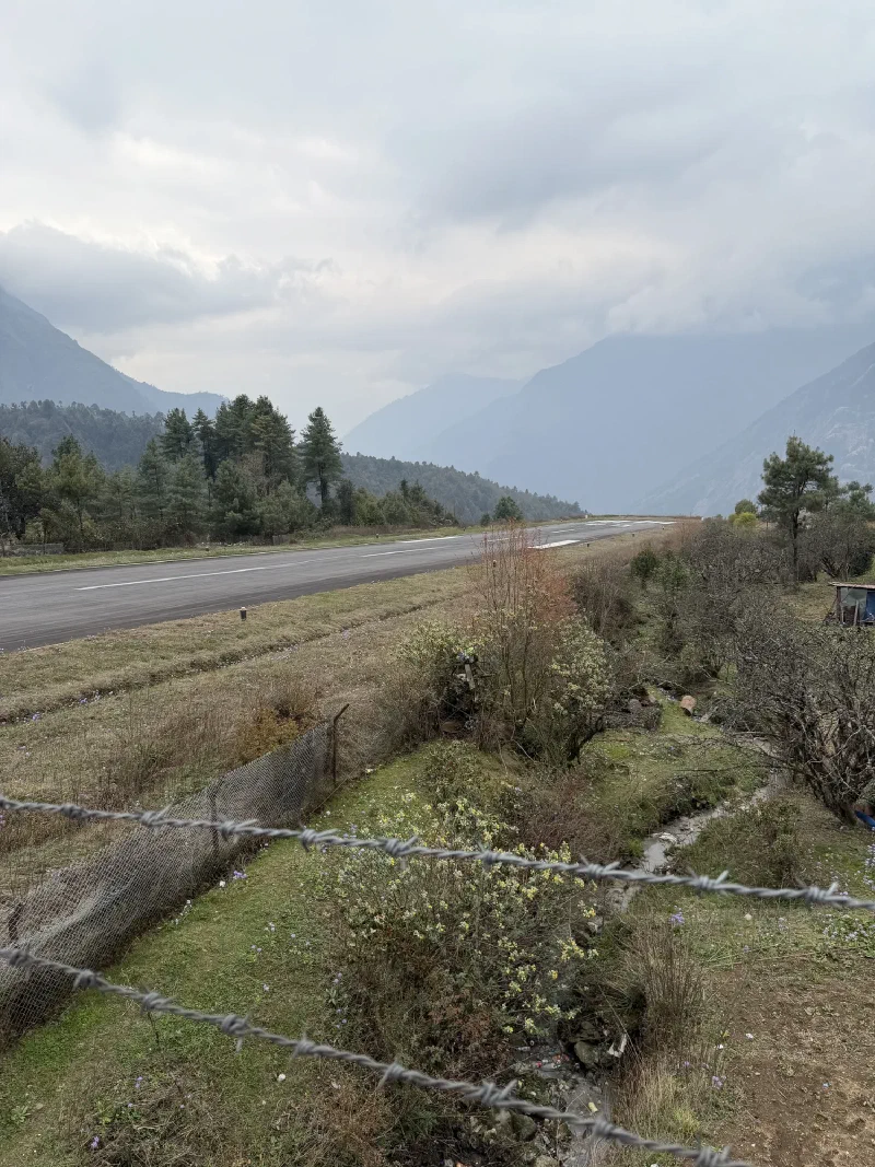
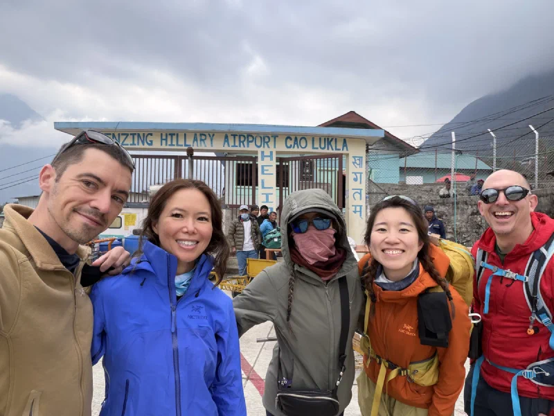
The Most Dangerous Airport in the World#
Tenzing-Hillary Airport. Elevation 2,860 meters. The runway is 527 meters long (most commercial runways are ten times that), angled uphill at a 12% gradient to help slow you down, with a sheer mountain wall on one end and a 600-meter cliff drop on the other. You fly into a narrow valley, bank left, and hope.
Fixed-wing planes have to commit. Once they’re in the approach, there’s no going around. Miss the runway and you’re in the mountain or off the cliff.
We looked at it from the helicopter and felt very good about our choice of transport.
Landing#

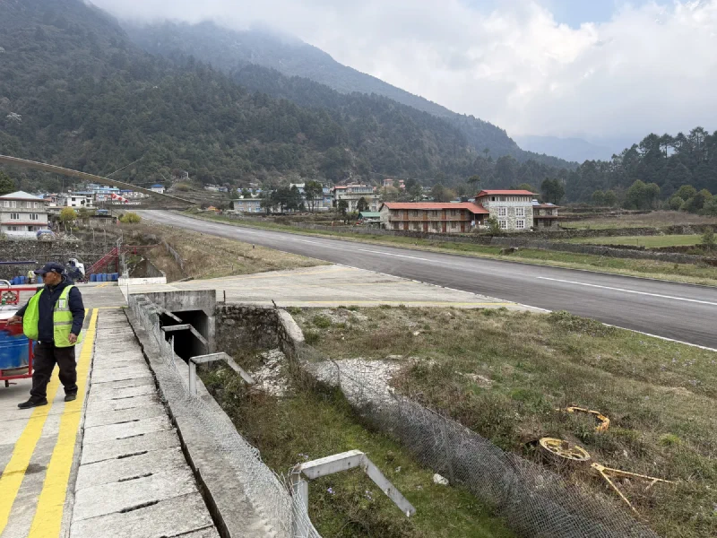
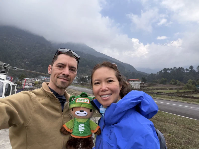
We touched down on the helipad and piled out. The air was different up here. Cooler, thinner, and damp under a heavy cloud layer. Not exactly the sunny mountain welcome you see in the brochures.
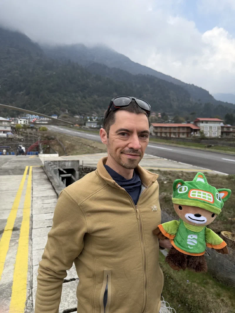
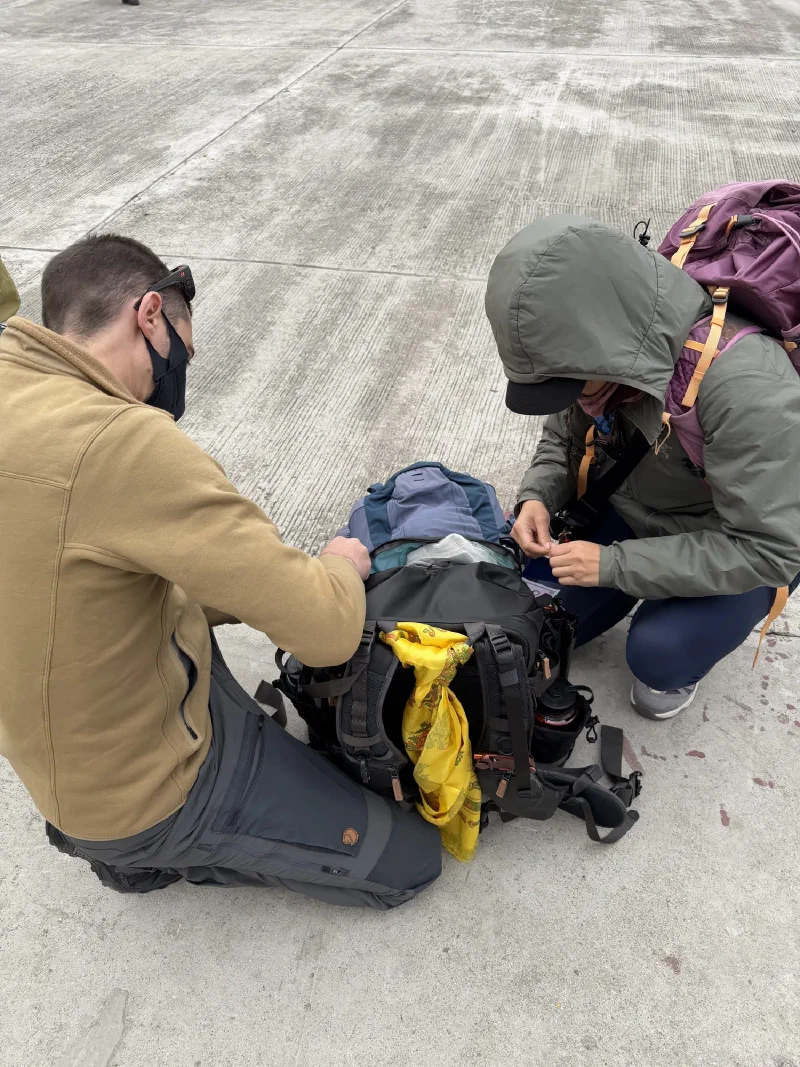
We had about thirty minutes on the ground while bags were unloaded and sorted. Enough time to walk around and see the runway up close. That mountain wall at the end of the strip? It’s even more intimidating from the ground.
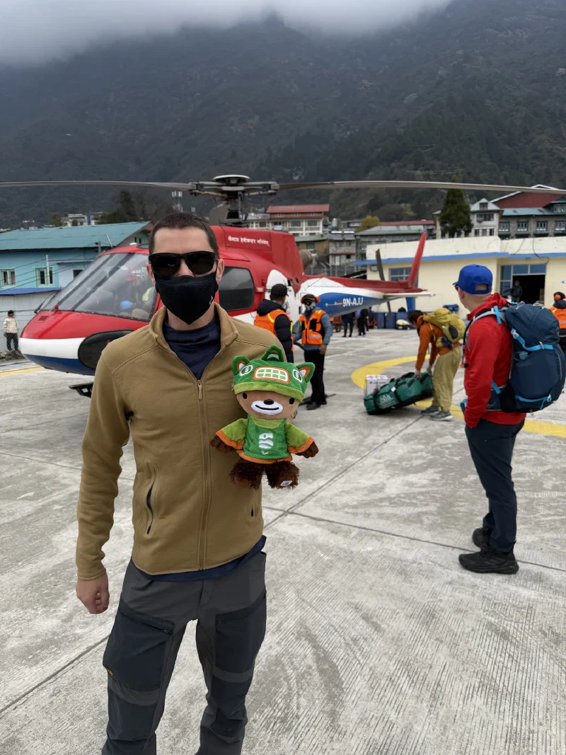
The Split#
Nicholas and Pokin were not doing well. The fevers hadn’t improved. The plan had been to hike three hours from Lukla to Phakding, the first stop on the trek. D.B. took one look at them and had a different idea.
The helicopter could take Nicholas and Pokin directly to Phakding. Skip the hike. Rest for the remainder of the day. The others would walk with D.B.
So the group split. Steve, Alice, and Po On geared up to hike with D.B. Nicholas and Pokin would take the helicopter to Phakding.
Small problem.
The WD-40 Incident#
While we’d been taking photos and sorting gear, the helicopter had been sitting on the pad. Three mechanics had climbed in, pulled out some of the instruments (possibly the radio), and started spraying things down with WD-40.
WD-40.
On the helicopter we were now supposed to fly in. Again.
Nicholas and Pokin climbed back into the freshly serviced aircraft. No guide this time. Just the pilot, two sick trekkers, a bear, and a maintenance guy who came along for the ride, apparently to make sure nothing fell apart mid-flight.
That’s the kind of detail that either reassures you or terrifies you. There is no in-between.
Onwards. To Phakding. In a helicopter held together by optimism and WD-40.