
Tengboche to Dingboche (via Middle-earth)

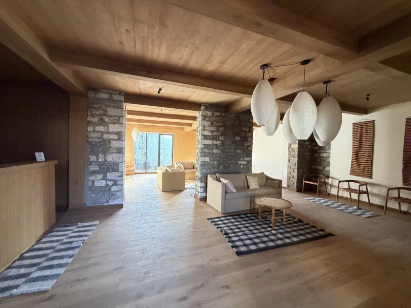
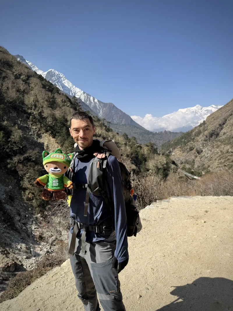
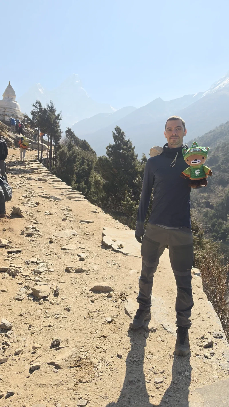
We woke up in Tengboche to the kind of morning that makes you briefly forget you’ve been coughing for three days. Blue skies, mountains everywhere, and a lodge lobby that had no business being this nice at 3,875 meters (12,713 feet).

The Himalayan lodge lobby in Tengboche
Stone pillars, paper lanterns, actual sofas. This is a lodge at 12,713 feet. I expected plywood and regret.
Patio of The Himalayan lodge with mountain views
The patio. That’s Tengboche Monastery on the right and a casual wall of the Himalayas in the background.

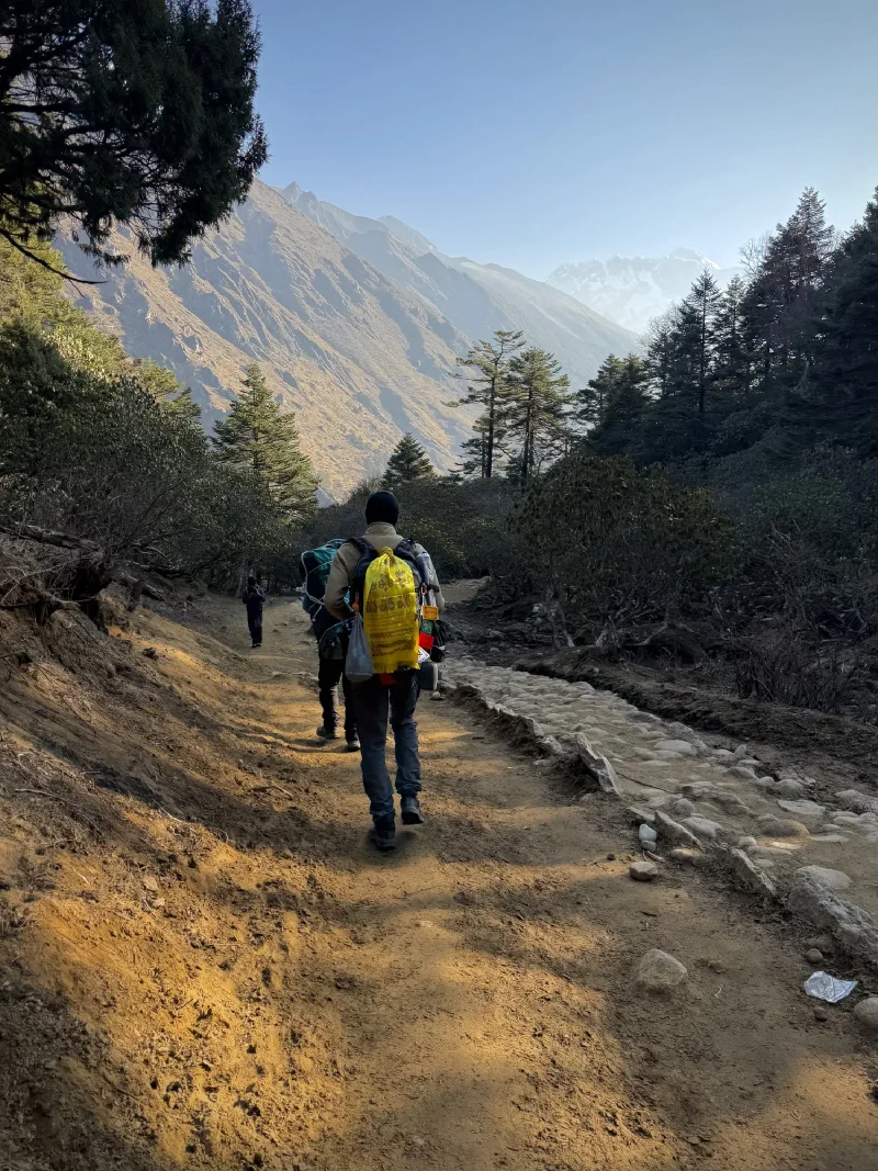
Today’s plan was simple: descend from Tengboche to Deboche, then climb up to Dingboche. About 11 kilometers (7 miles). Not the worst day on paper, but the altitude was now firmly above 4,000 meters (13,000 feet), which is where things start getting real.

Hiking out of Tengboche on a forested trail
Heading out. The rhododendrons were still going strong at this altitude.

Muddy forest trail with sun filtering through trees

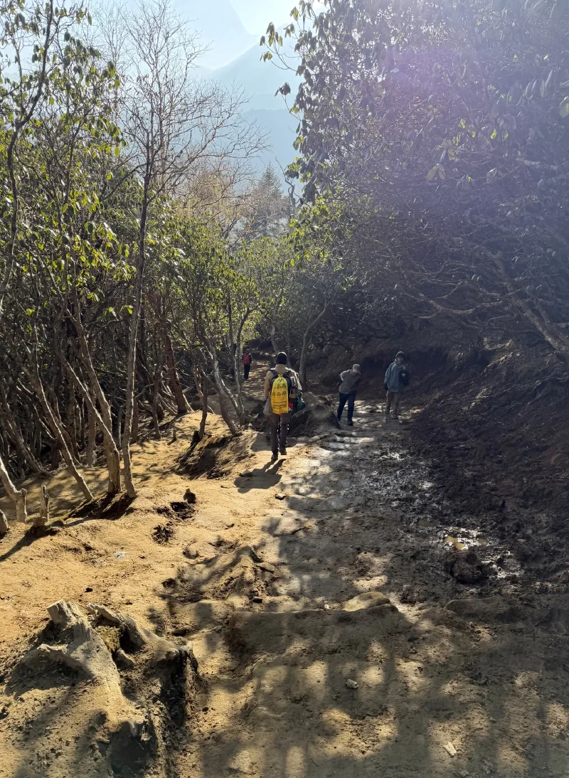
The trail dropped into a mossy, shaded forest that looked like it belonged in a fantasy game. Twisted roots, mud, dappled light through ancient branches. And then, right on cue, we arrived at a place that leaned into that exact vibe.

Rivendell Lodge in Deboche
Rivendell Lodge, Deboche. Yes, that Rivendell.

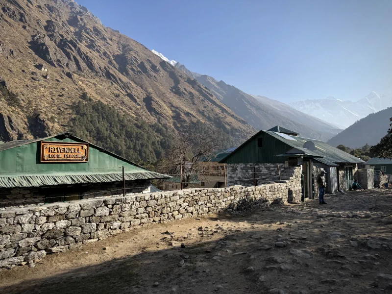
Deboche sits in a hidden valley below Tengboche, and someone decided to name their lodge after Tolkien’s hidden Elvish sanctuary. Honestly? Fair. The valley does have that tucked-away, last-homely-house energy. No elves, though. Just a lot of laundry drying in the sun.

Deboche village with laundry lines, solar panels, and mountains

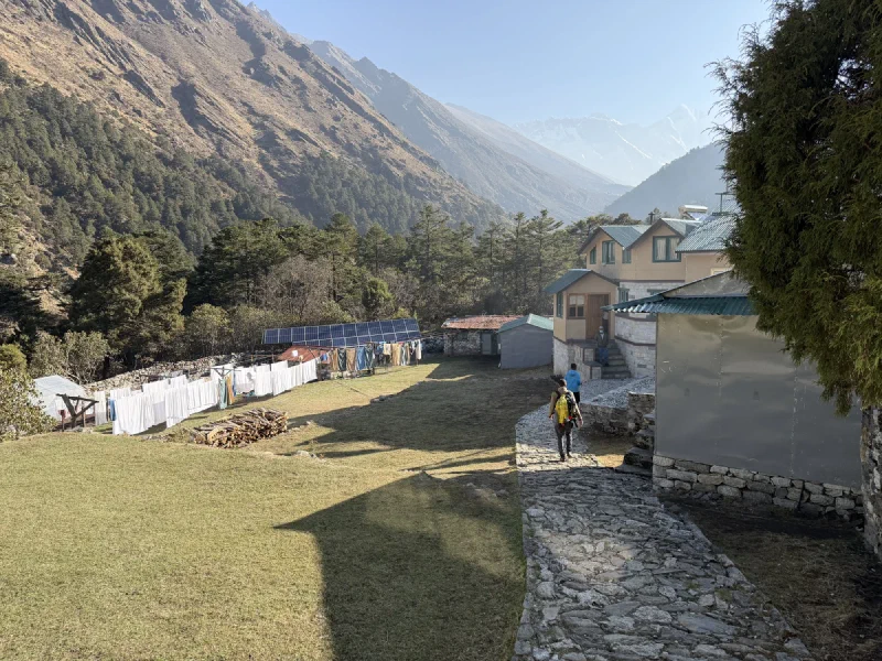
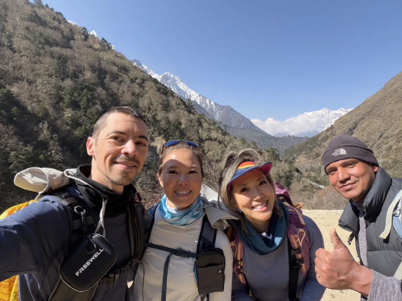
This was where the rest of our group had slept the night before, while Nicholas and Pokin stayed up in Tengboche for the heated room and the (failed) astro attempt. We were here to regroup and keep moving.

Trail through forest with mani stone and snowy peaks
Mani stone in the morning light. Prayer stones are everywhere on this trail, and I’m still passing them on the left like a good bear.

Eroded section of the trail with steep drop-off

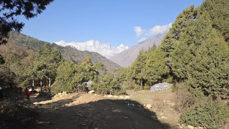
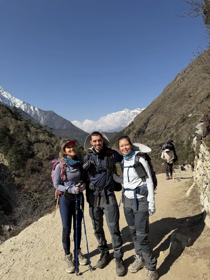
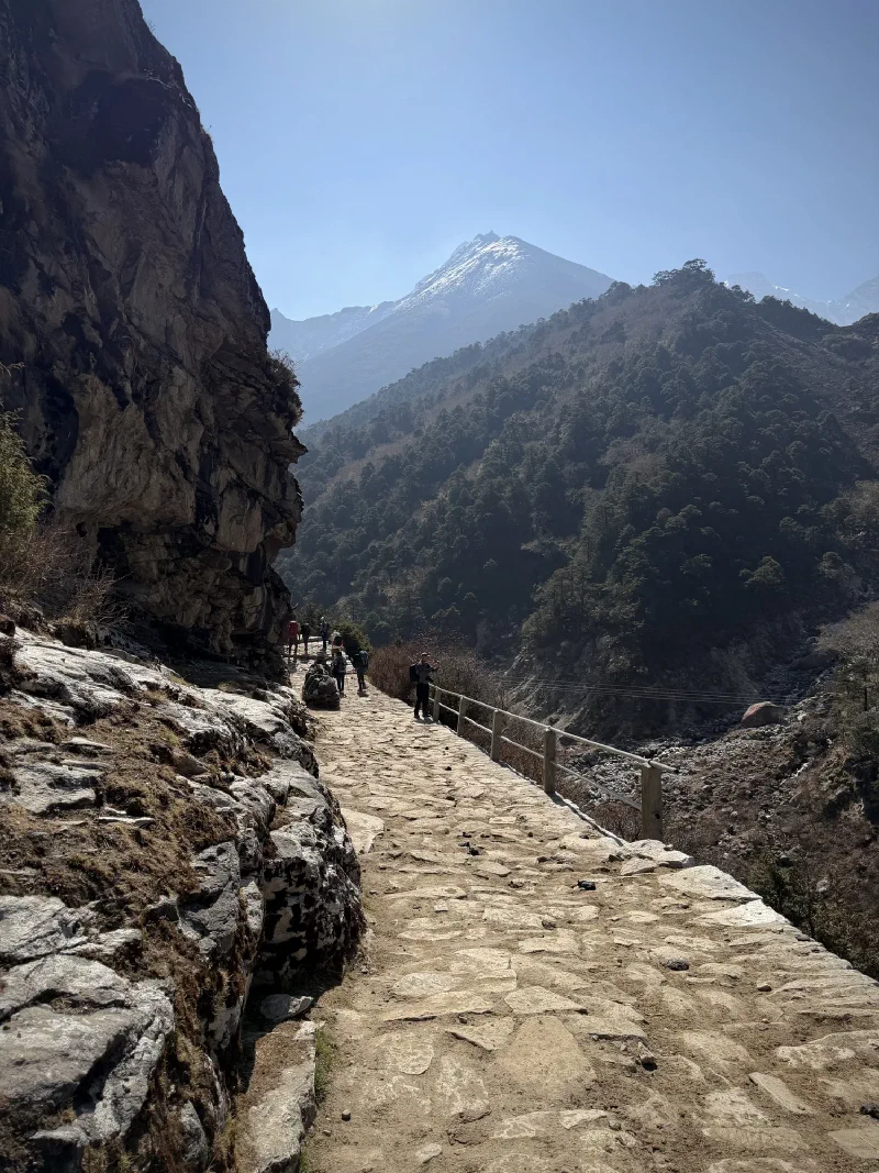
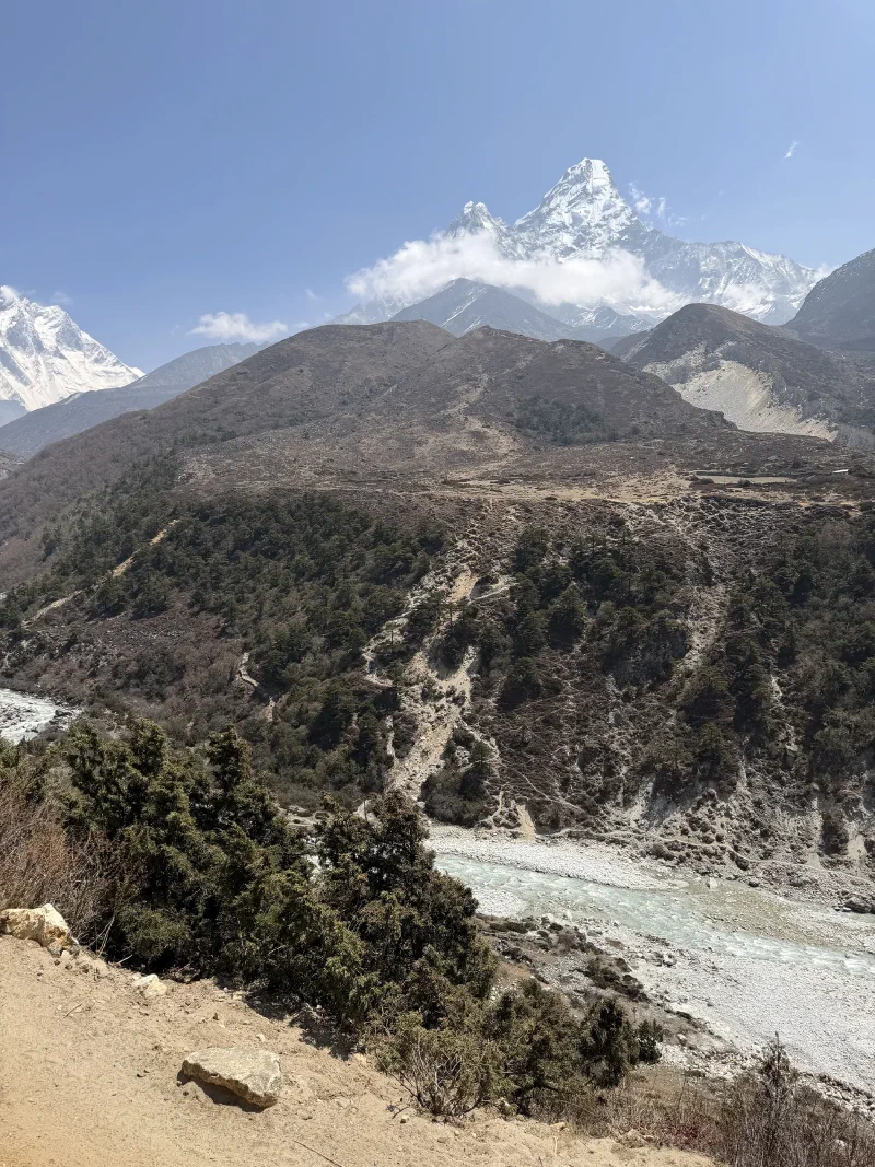
The trail between Deboche and Dingboche is where the landscape starts to change. Trees thin out, the valley widens, and you start seeing more of the big peaks without having to crane your neck around a ridge.

It’s also where the woolly yaks show up.

Nicholas photographing a yak over a stone wall
My bud, fully committed to yak photography. That khata scarf on his backpack really ties the whole look together.
Close-up portrait of a woolly black yak with horns and harness
This is a real yak. Not the smooth, short-haired ones from lower down. Full woolly coat, massive horns, absolutely zero interest in me.

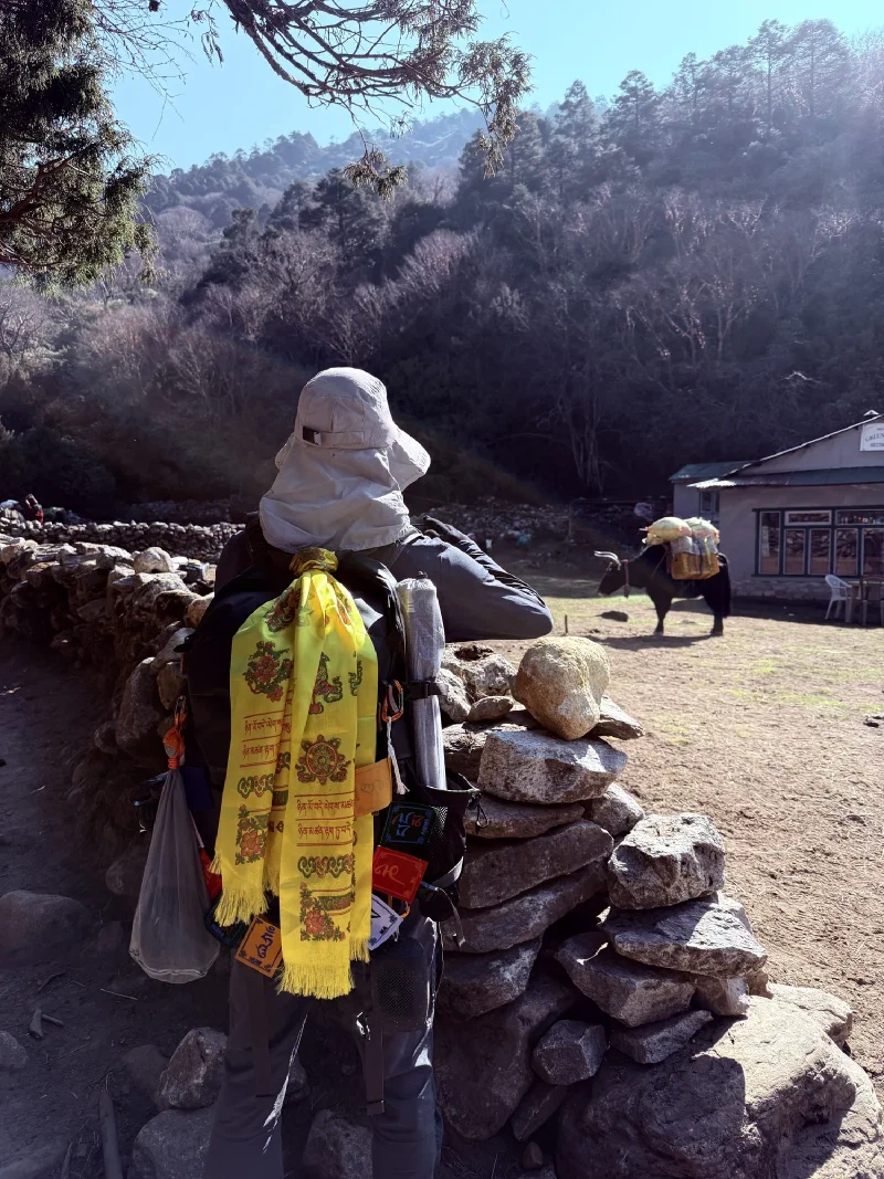
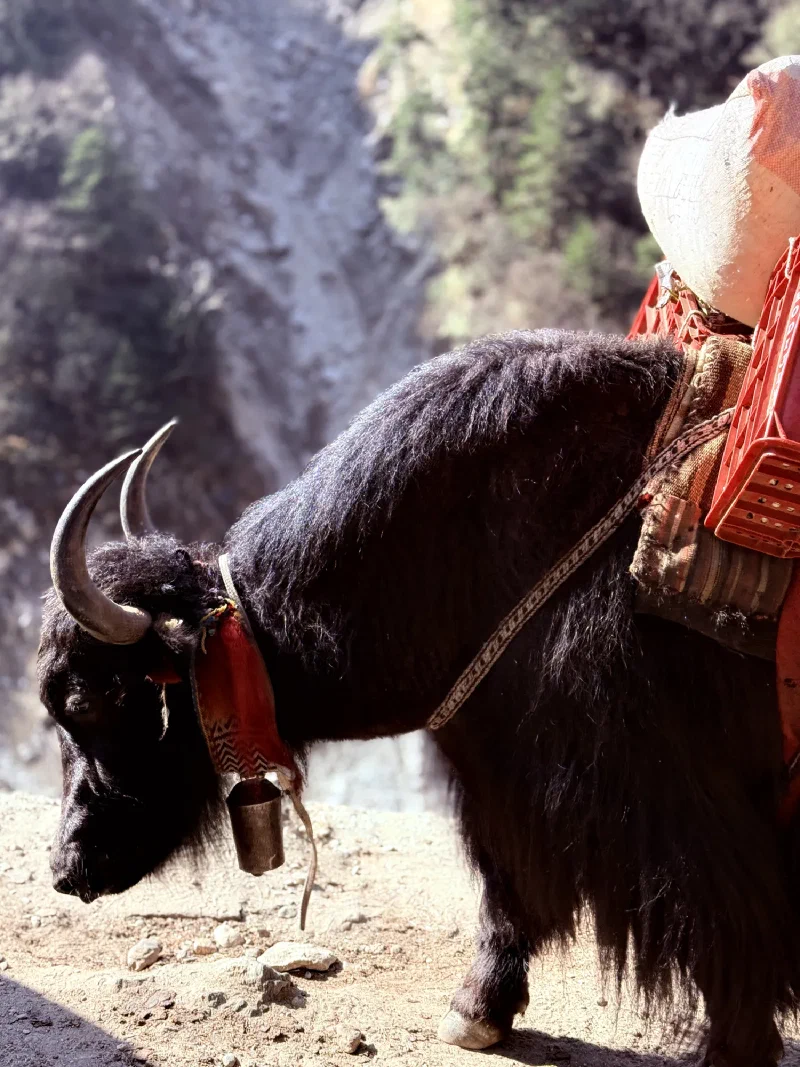
I’d seen yaks before on this trek, but these were different. Full winter coat, long shaggy fur hanging almost to the ground, the kind that look like they were designed for a blizzard and accidentally wandered into spring. The ones lower on the trail were more like yak-lite. These were the premium edition.

Nicholas holding Sumi with yaks and snow-capped mountains behind
Me, two yaks, and the Himalayas. This is my LinkedIn photo now.
Suspension bridge over gorge with prayer flags
Another bridge. Prayer flags doing their thing.

Switchback trail on steep mountainside with tiny hikers visible

Valley view looking toward Ama Dablam

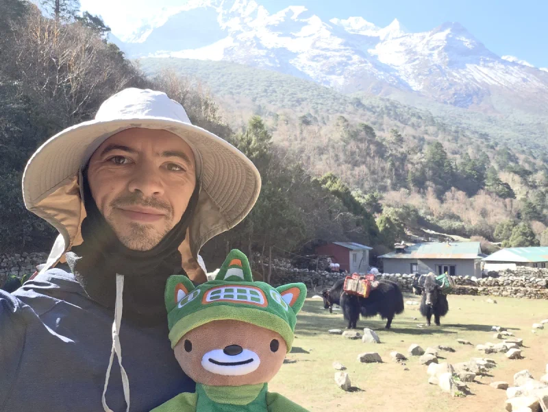
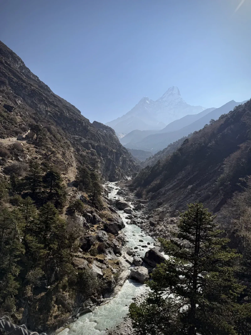
The trail kept climbing, and Ama Dablam kept showing off. At this point she was practically following us.

Pokin, Nicholas, and Po On on the trail
Still smiling. Give it an hour.
Group selfie with guide Manoj
Group shot with Manoj, our guide.

Nicholas holding Sumi on the trail

Stone-paved trail along cliff face with wooden railing
Some sections of the trail are surprisingly well-built. Flat stones, railings, the works. Other sections are just loose gravel over a cliff. It’s a mixed bag.

Steep stone stairs with snow-capped peaks visible through the gap

View down switchbacks with mani stone and suspension bridge in distance

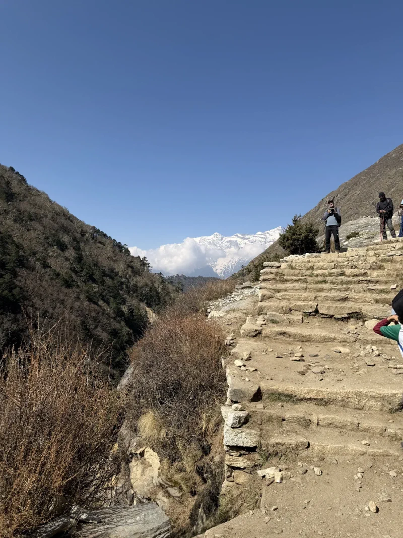
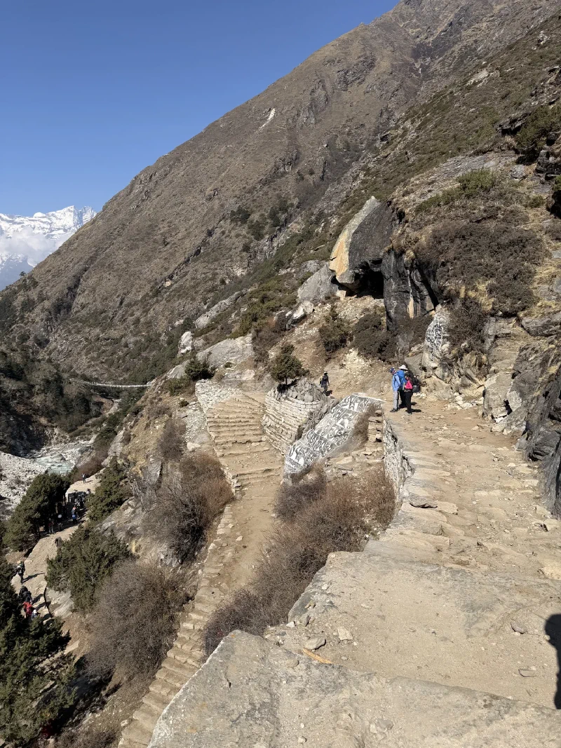
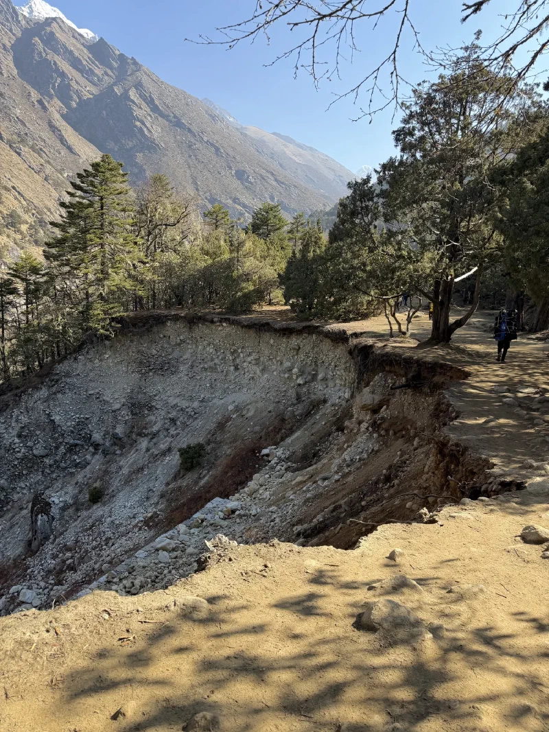
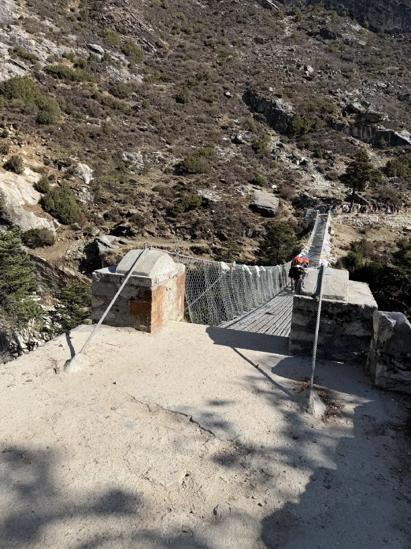
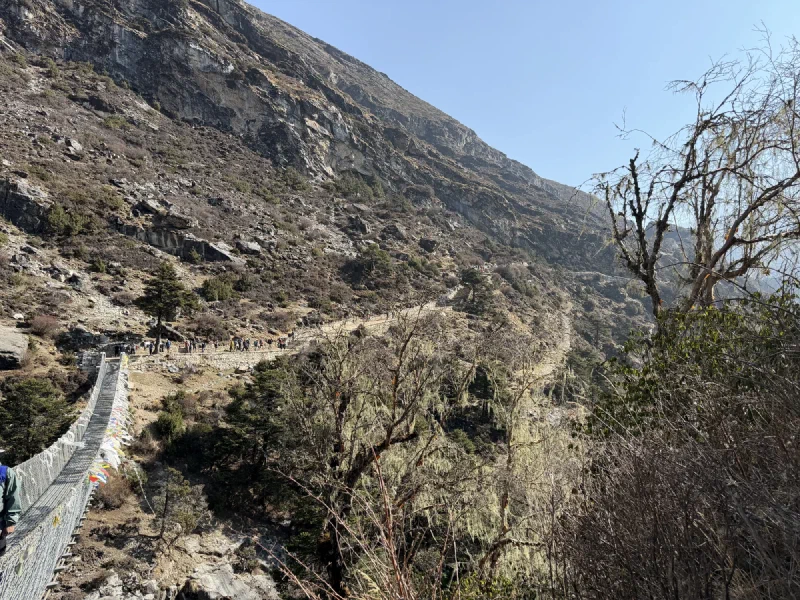
The up-and-down nature of this trail is something nobody warns you about. You’d think “hike to a higher village” means you just go up. No. You go down 300 meters (984 feet) into a river valley, cross a bridge, then climb 500 meters (1,640 feet) back up the other side. Repeat. The Himalayas don’t believe in flat.

Nicholas holding Sumi on the trail with a white chorten behind
Chorten checkpoint. 3,700-something meters. Looking good, feeling good.

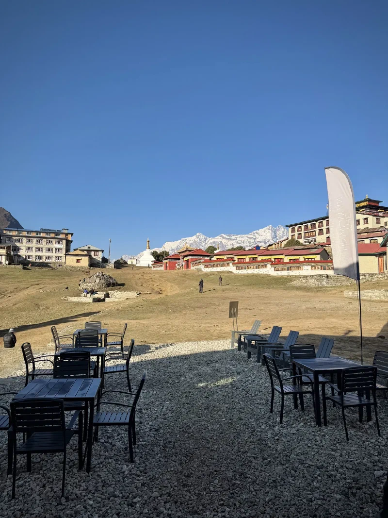
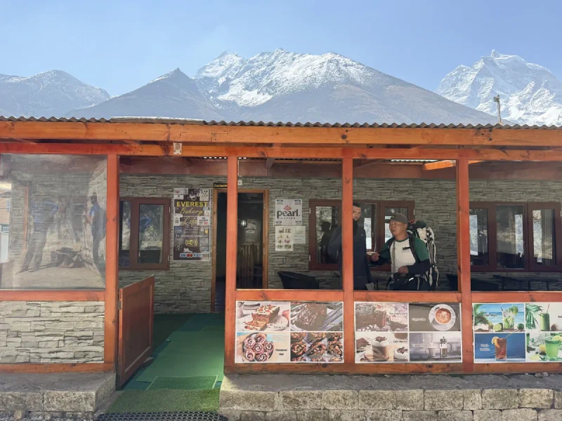
We stopped for tea at the Everest Bakery, because of course there’s a bakery in the middle of nowhere at 4,000 meters.

Everest Bakery Cafe and Pearl Coffee building
The Everest Bakery. Cinnamon rolls, carrot cake, and specialty coffee. At 13,000 feet. In a building heated by a single yak-dung stove.
Nicholas's Shimoda backpack decorated with prayer flags and khata
Nicholas’s pack. Getting more decorated by the day.

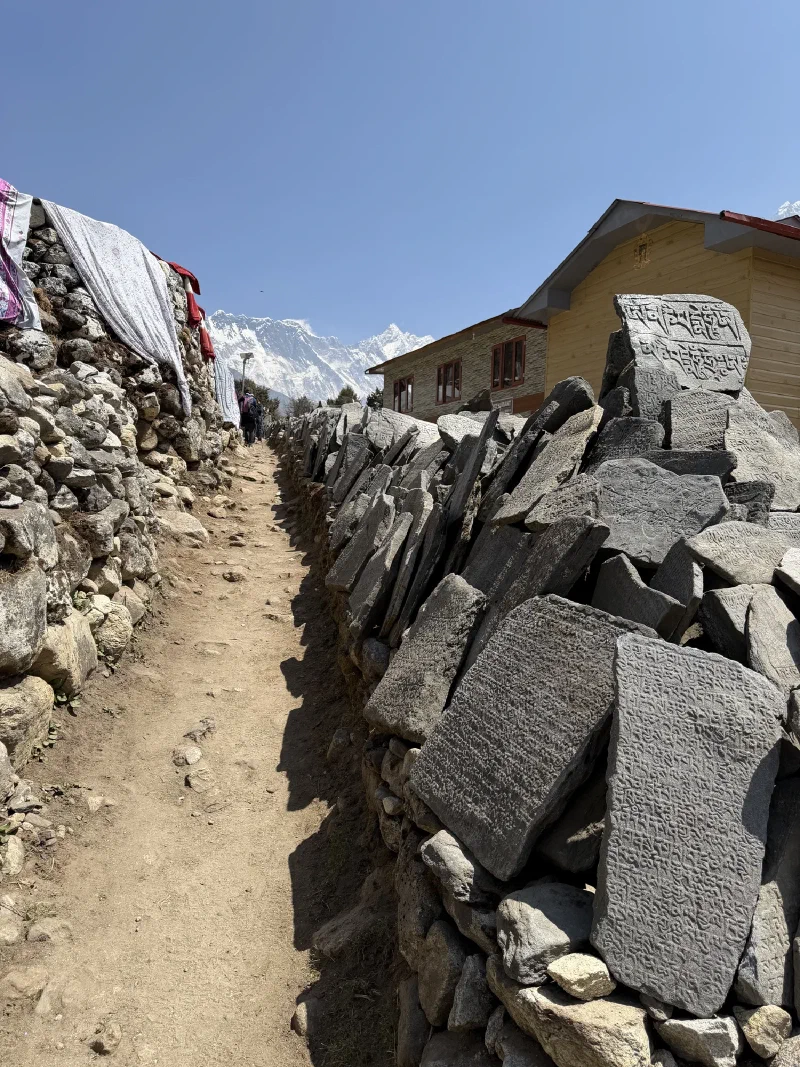
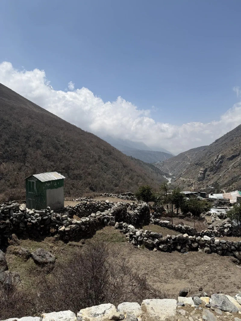
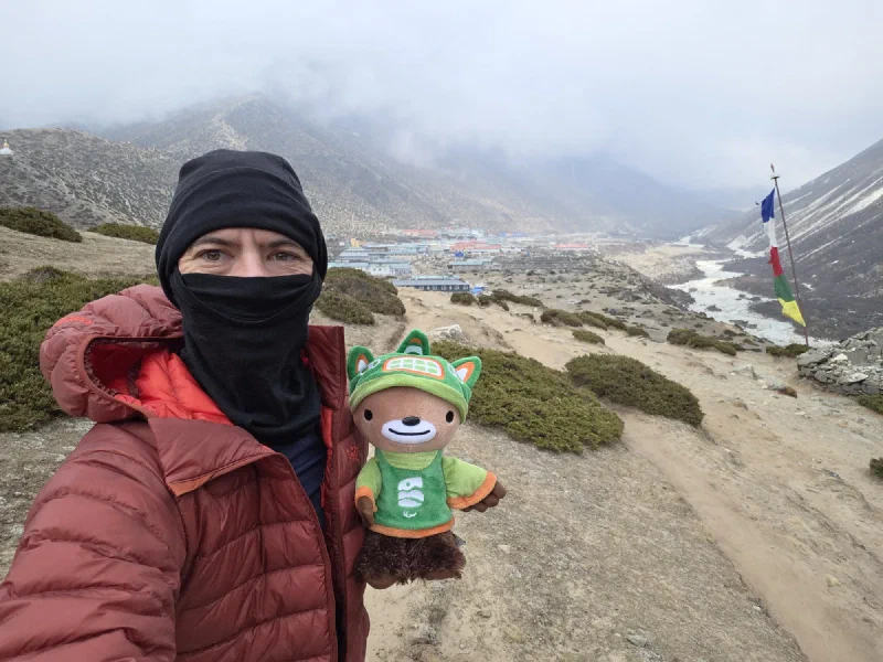
Past the bakery, the terrain opened up into high alpine valley. Stone walls, carved mani stones, and the mountains just sitting right there with nothing between you and them.

Narrow path with mani wall and snow-capped Himalayan peaks
Mani wall leading straight toward the big peaks. Feels like walking into a painting that someone forgot to finish.
Ama Dablam rising above the valley with glacial river below
Ama Dablam from the trail. That glacier hanging on the face looks like it’s about three seconds from falling off.

Looking back down the valley as clouds build

Porter carrying wooden planks on their back
A porter carrying actual lumber up the mountain. Wooden planks. On his back. I complain about being carried in a backpack pocket.

The weather started turning around midday. Clouds rolling in from the valley below, temperatures dropping, the peaks disappearing one by one. By the time we hit the final approach to Dingboche, it was full overcast and Pokin was running out of steam.

Nicholas in red jacket holding Sumi with misty valley behind
Weather check: gone. Nicholas broke out the big red jacket. I broke out my concerned expression.

She’d been pushing through since Tengboche, but the altitude was winning. The last stretch into Dingboche is a gradual uphill across an exposed plateau, and when you’re not feeling great, gradual is just a polite word for relentless.

View of Dingboche village with prayer flag and stupa
First sight of Dingboche. 4,410 meters (14,469 feet). Those grey clouds aren’t leaving.
Nicholas holding Sumi overlooking Dingboche
We made it. Dingboche.
Panorama of Dingboche village with stupa and French Bakery
Dingboche. Population: varies by season. Bakery count: at least one (French, apparently). Stupa count: several.

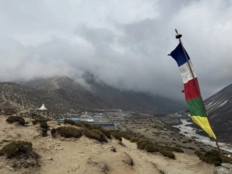
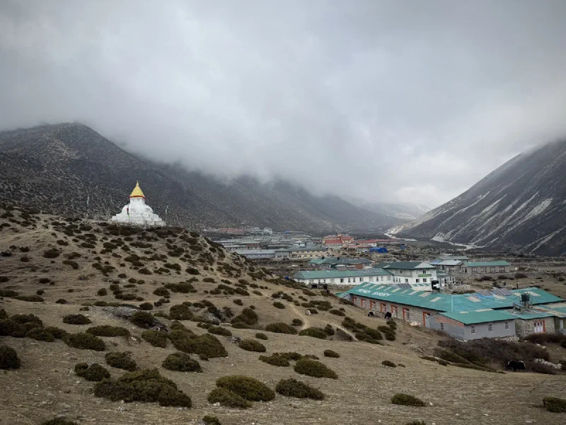
Dingboche is the last major stop before things get properly extreme. The air is noticeably thinner. Walking up a flight of stairs to your room leaves you breathing like you just sprinted. Nicholas seems to be back to normal, but Pokin was heading in the wrong direction.

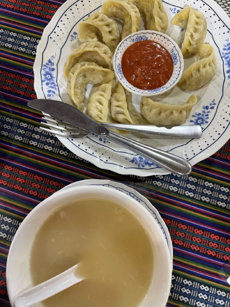
Dinner, though? Dinner was good.

Steamed momos with questionable ketchup on a colorful Nepalese tablecloth
Momos. Pokin’s favorite. Ten little dumplings and some questionable ketchup.

Tomorrow is the 5,000-meter (16,404 feet) acclimatization hike. Can’t wait to see how that plays out.