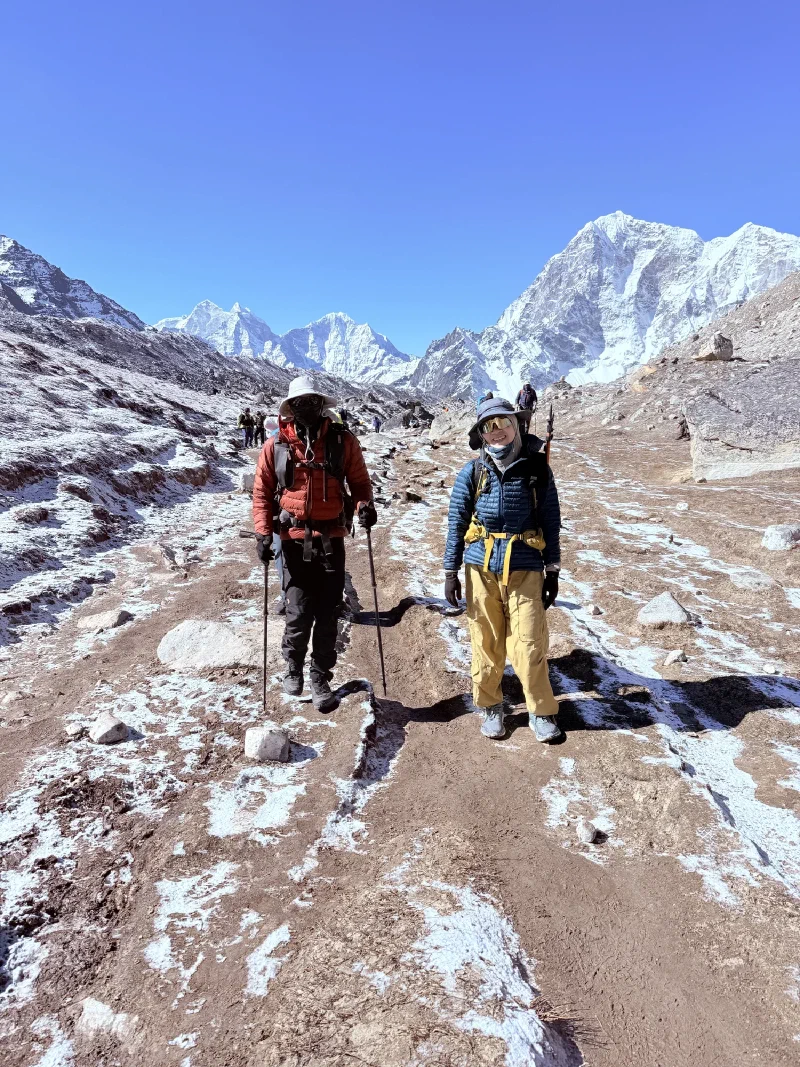
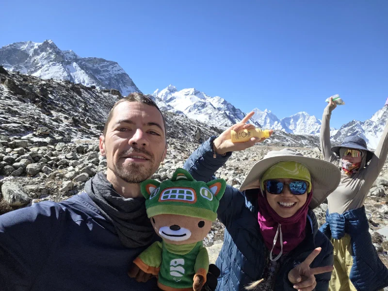
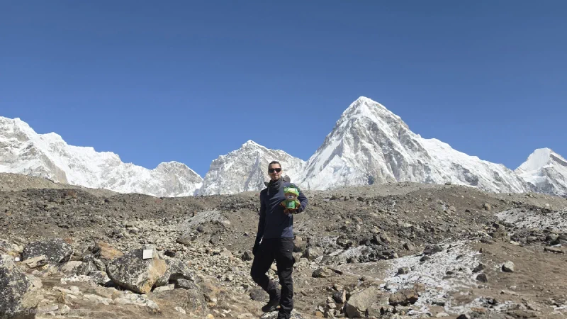
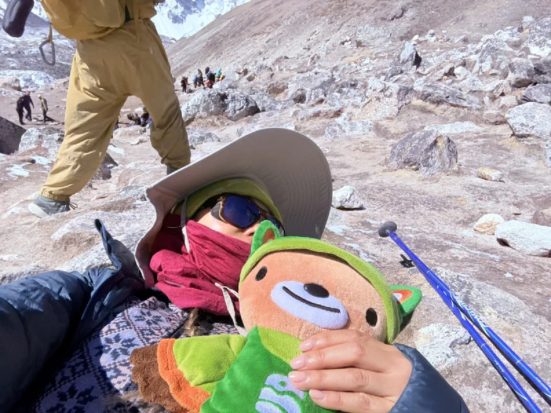
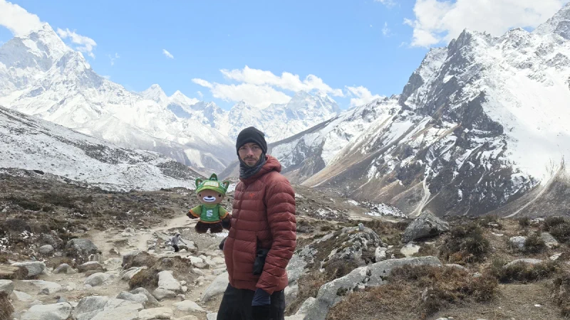
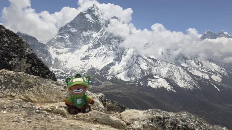
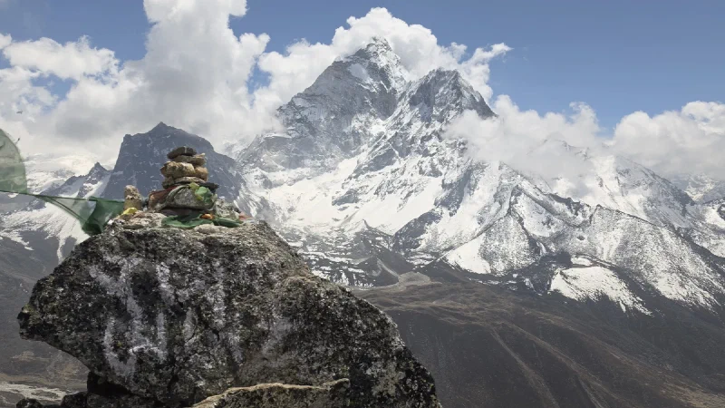
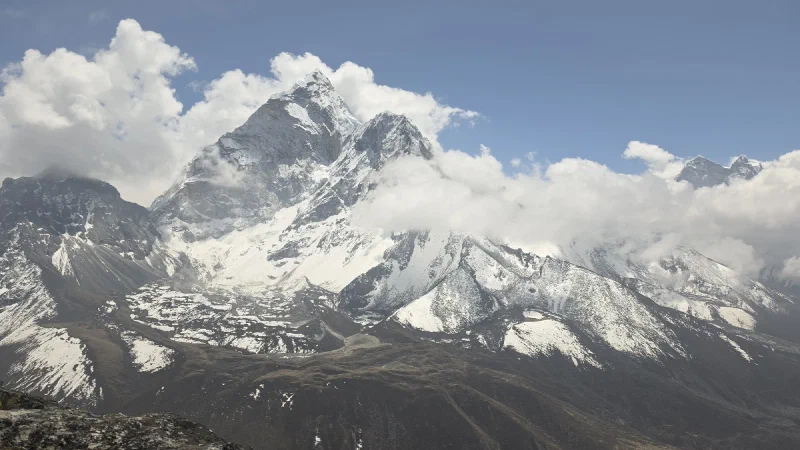
Three for three. That was the goal. The Sherpa Memorial timelapse had worked. The Kala Patthar Milky Way over Everest had worked. One more clear night, one more shot, and Nicholas would have pulled off the entire astrophotography redemption arc.
The problem was that Nicholas had absolutely destroyed himself getting here. Back-to-back all-nighters, the EBC speed run, the Kala Patthar climb, and then four hours of porter duty with a namlo. He knew the overexertion at this altitude was probably going to get him sick. But tomorrow they were descending to Tengboche to meet Pokin, dropping to lower elevation, warm hotel, rest and recovery. If he was going to blow himself out, tonight was the night to do it.
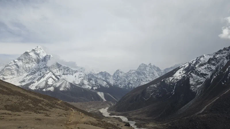
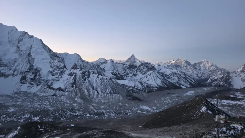
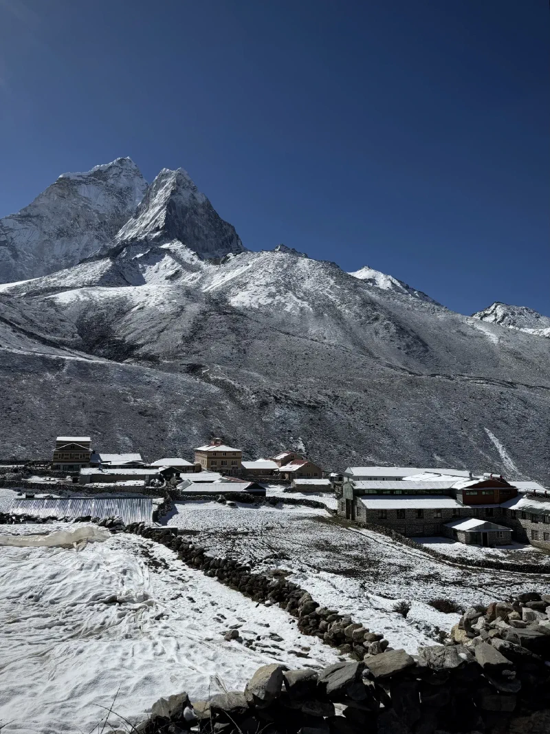
As soon as he’d dropped off the porter bags, Nicholas went scouting. He’d noticed a hill right outside the hotel in Thukla, maybe two minutes away, that looked promising. Good framing on Ama Dablam, nice open sky.
It didn’t work. There was a light right where you didn’t want it, and it looked like it might be on someone’s property. Scrapped.
So he walked further, heading back along the route toward Dingboche, looking for higher ground. He found a hill about 30 to 40 minutes down the trail with a big rock at the top and the exact view he wanted.
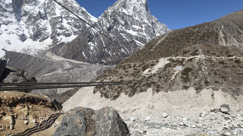
The catch: getting there meant crossing a gorge. Thukla sits on the other side of a river, and they’re in the middle of building a suspension bridge over the ravine. The steel cables are strung across, but the bridge itself doesn’t exist yet. So for now, you have to hike all the way down from Thukla to the river, cross a tiny bridge at the bottom, and climb all the way back up the other side.
The future bridge. Currently just cables and ambition. For now, you take the long way around.
Forty minutes each way. With 25 pounds of camera gear. At night. After everything he’d already put himself through.
He skipped dinner. Went to bed. Set the alarm for 11 PM.
When the alarm went off, Nicholas was extremely tempted to go back to sleep. He’d earned it. Every muscle in his body had earned it.
He looked out the window. Perfect conditions. Fresh coat of snow. Clear sky.
Up we got.
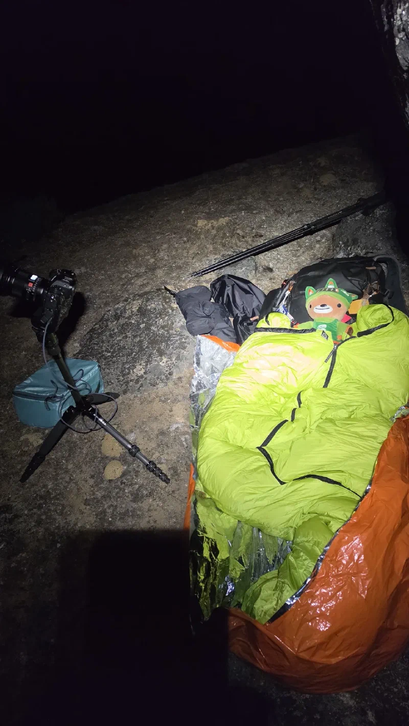
Down the ravine. Across the river. Up the other side. Found the hill. Climbed to the top. Forty minutes with the full kit. By now, the routine was dialed in. Emergency poncho blankets laid down as a ground layer. Sleeping bag on top. Camera on the tripod. Battery wrapped to keep it warm. Shot framed. Timelapse started. Six hours this time, running all the way through to dawn.
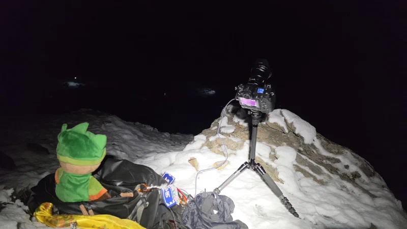
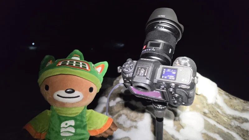
The setup. Camera, sleeping bag, emergency blankets, and a bear. Somewhere on a hillside in the Himalayas at midnight. This is either dedication or insanity. Probably both.
Then we crawled into the sleeping bag, tucked under the big rock to block the wind, and slept.
Actually slept. On a mountain. In the Himalayas. Under the stars. At altitude. While the camera clicked away every twenty seconds, frame after frame of the Milky Way rotating over the peaks.
About every hour, Nicholas would wake up, peek at the camera preview, confirm it was still working, and go back to sleep. Every time: stars. Working. Good. Sleep.
It was the longest, cleanest timelapse of the entire trip. The best weather. The best conditions. Six uninterrupted hours of clear sky.
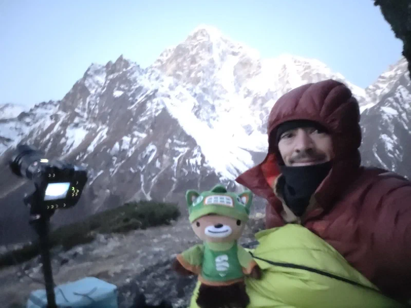
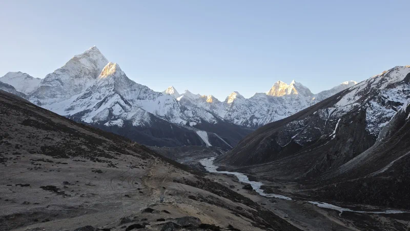
5 AM. Waking up on a mountain. The camera’s still clicking. The bear’s still here. Everything worked.The view from our bedroom. Not bad for a night on the ground.
Around 6 AM, with the sky brightening and breakfast at 6:30, Nicholas stopped the timelapse and packed everything up. Forty minutes back to Thukla. Down the hill, across the river, up the ravine. Back to the lodge just in time.
Three nights. Three successful shoots. The Astrosaster was fully redeemed.
Nicholas definitely knew he’d blown himself out. The overexertion, the altitude, the lack of sleep. It was going to catch up with him. But they were heading down today, back to Tengboche, back to Pokin, back to oxygen and warm rooms.
You’d think after summiting Kala Patthar at 1 AM, shooting the Milky Way over Everest, trail running back down at dawn, and getting maybe two hours of sleep total, Nicholas would take the easy hike to Thukla and, I don’t know, rest.
You’d be wrong.
See, with only two porters left for the four of us, the bags were overloaded. We hadn’t packed light. Five large duffels, two porters. Our guys, Kerman and Naben, are absolute machines. Either of them can carry three bags, probably four, without breaking a sweat. It wasn’t a problem.
But a few days earlier, Nicholas had tried on Kerman’s namlo, and it planted an idea.
A namlo is the traditional Nepali porter carrying system. It’s a woven strap that loops around your forehead, with the load hanging on your back. No shoulder straps. No hip belt. No frame. Just a strap across your forehead and the full weight of whatever you’re carrying pulling on your neck. The porters use these to haul 30, 40, sometimes 60+ kilos through the Himalayas. It looks like it shouldn’t work, but the biomechanics are actually clever. The head strap channels the weight axially down the spine, the strongest load-bearing column in the body. You lean forward to keep the center of gravity over your feet, and the weight distributes straight down through your skeleton instead of pulling backward on your shoulders like a backpack does. In some ways it’s more efficient, especially on steep terrain. It just requires neck muscles that most people haven’t developed since infancy.
Nicholas tried Kerman’s a few days ago and thought: “That’s not so bad.”
“Hey DB, can you have the porters make me a namlo? I want to carry my own bag to Thukla.”
DB, who by this point had learned to take Nicholas seriously no matter how insane the request, still said no. “No, no, no, bad idea.”
Nicholas insisted. “Let me try. If it doesn’t work, they take my bag back. No problem.”
DB relented. The porters fashioned a namlo, found the lightest duffel (still sizable), and strapped it on.
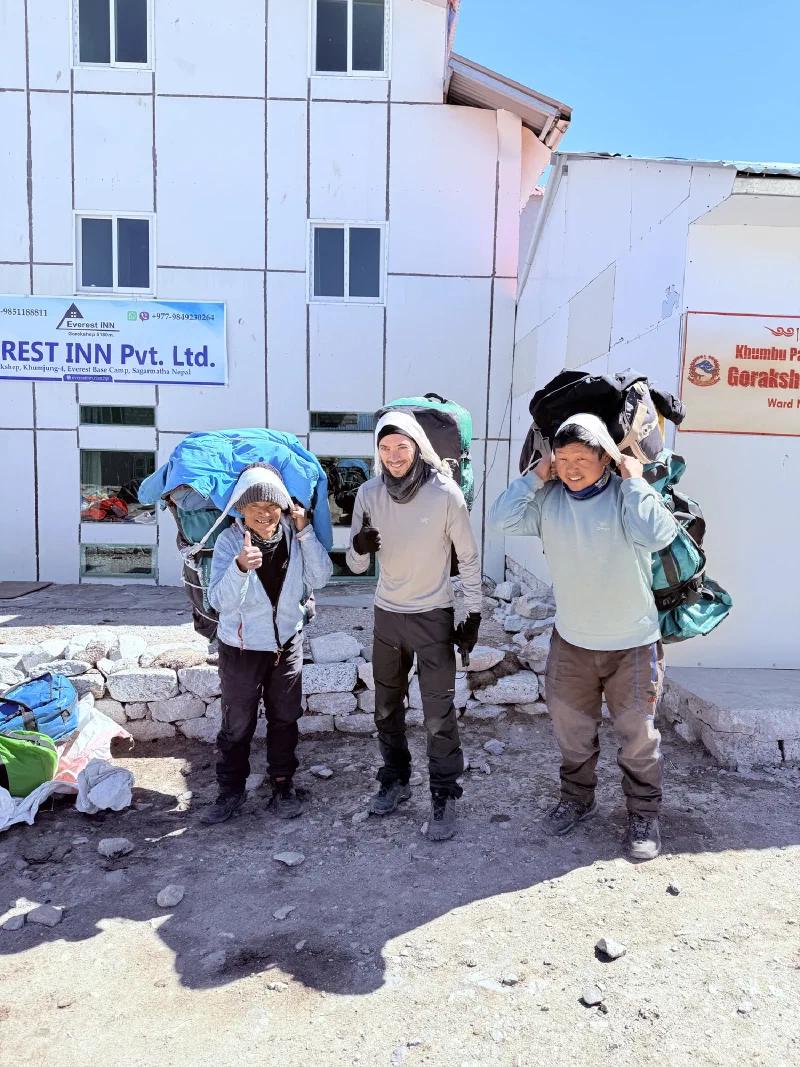
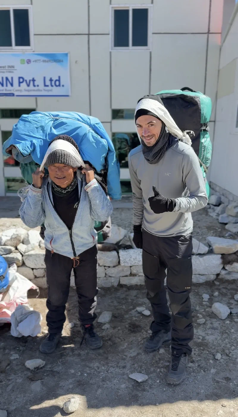
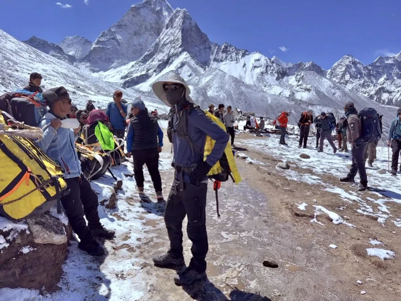
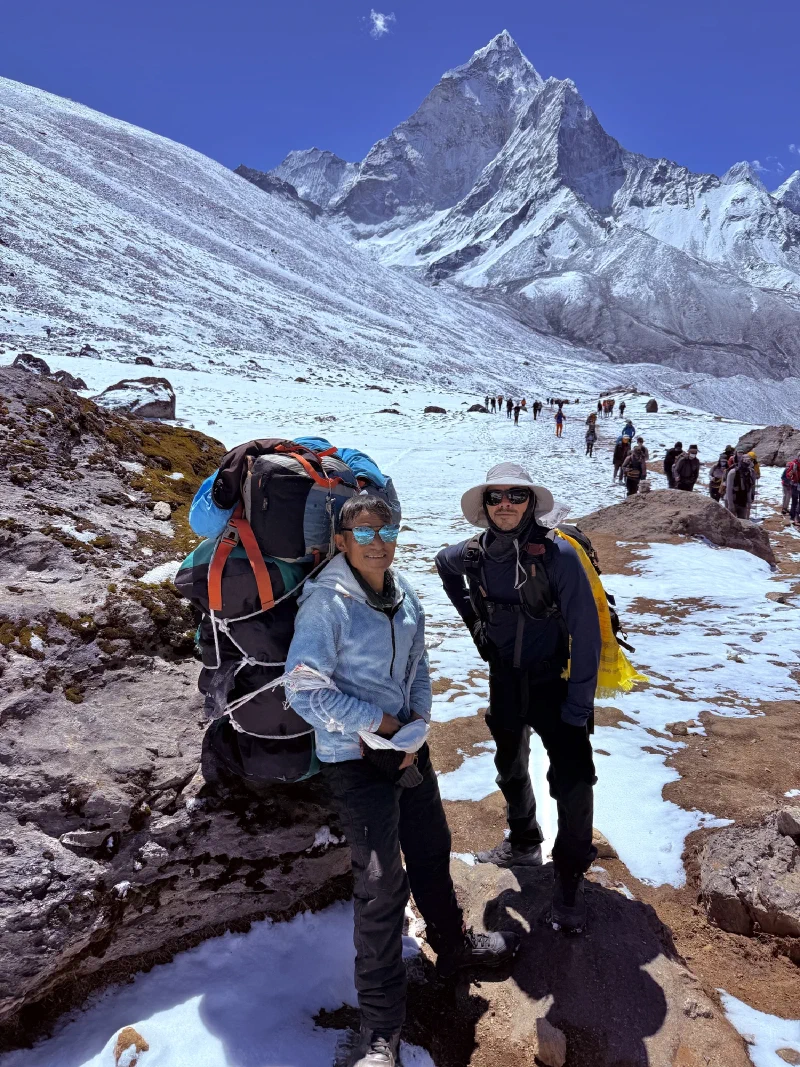
Spot the tourist. Kerman and Naben have been doing this their whole lives. Nicholas has been doing it for about four minutes.Thumbs up. The neck muscles haven’t started screaming yet.
Nicholas took off ahead with the porters while the rest of the group stayed back with DB for the normal pace. The porters powered along, taking breaks, trading snacks, and generally having a good time. Nicholas kept up.
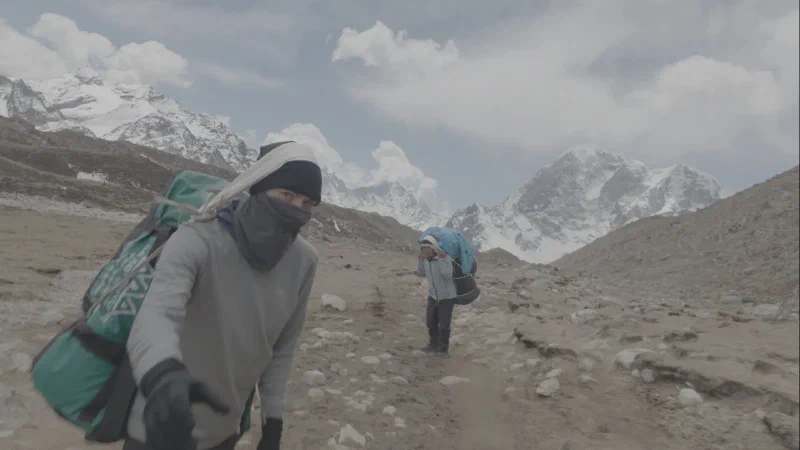
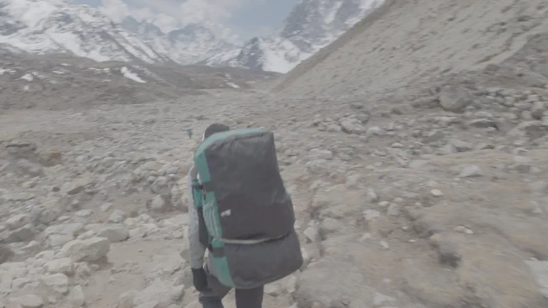
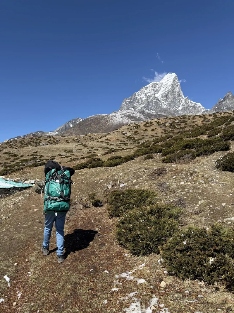
The namlo wasn’t terrible. Definitely awkward on the neck, using muscles that don’t normally get invited to the party. The balance was tricky. And you couldn’t look up at anyone on the trail. You just had to keep your head down and march. But the weight was manageable, and the four hours to Thukla went by.
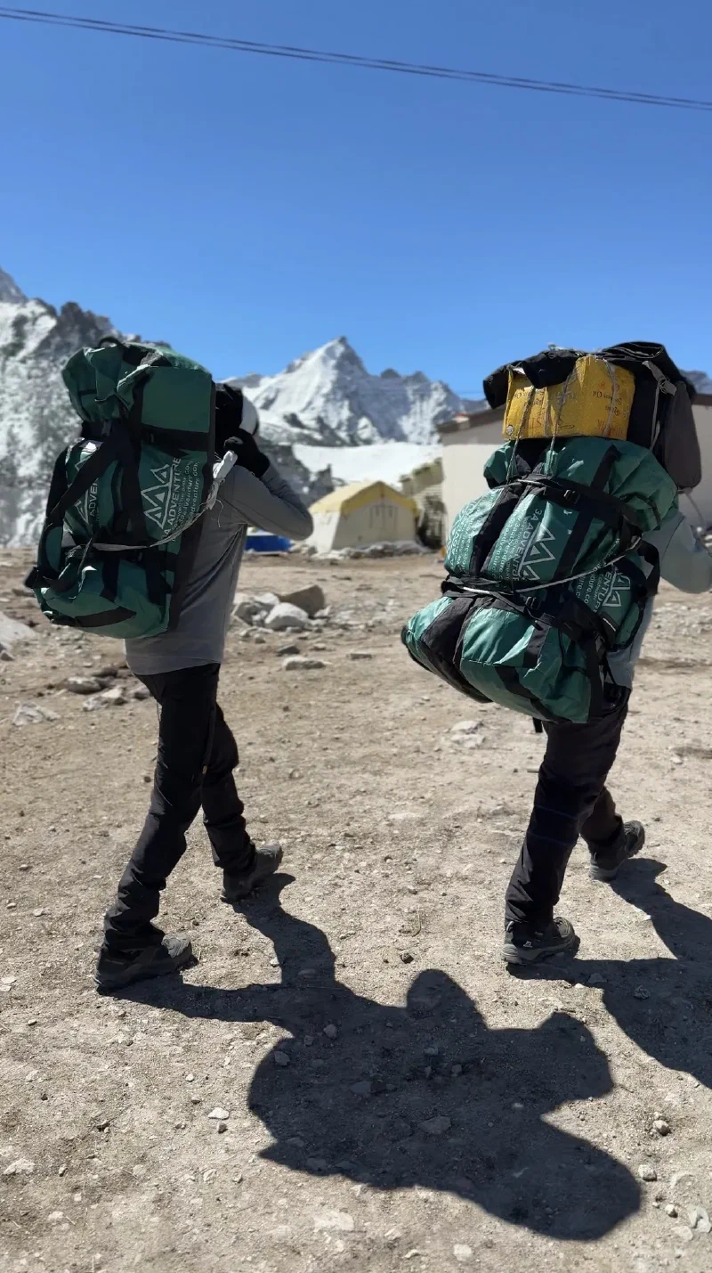
Two porters heading to Thukla.
The best part was the double-takes. Every guide and porter on the trail did the same thing: glance at Nicholas, look away, then snap back and stare. All the porters here are clean-shaven local men. Nicholas is a white guy with two weeks of trail scruff on his face, hauling a duffel on a namlo like he belongs. He did not belong. Everyone knew it. But he was doing it, so they just stared.
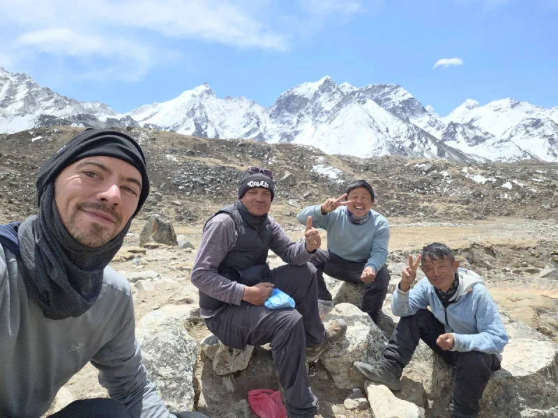
Rest stop with the crew. At this point, Nicholas has been fully adopted.
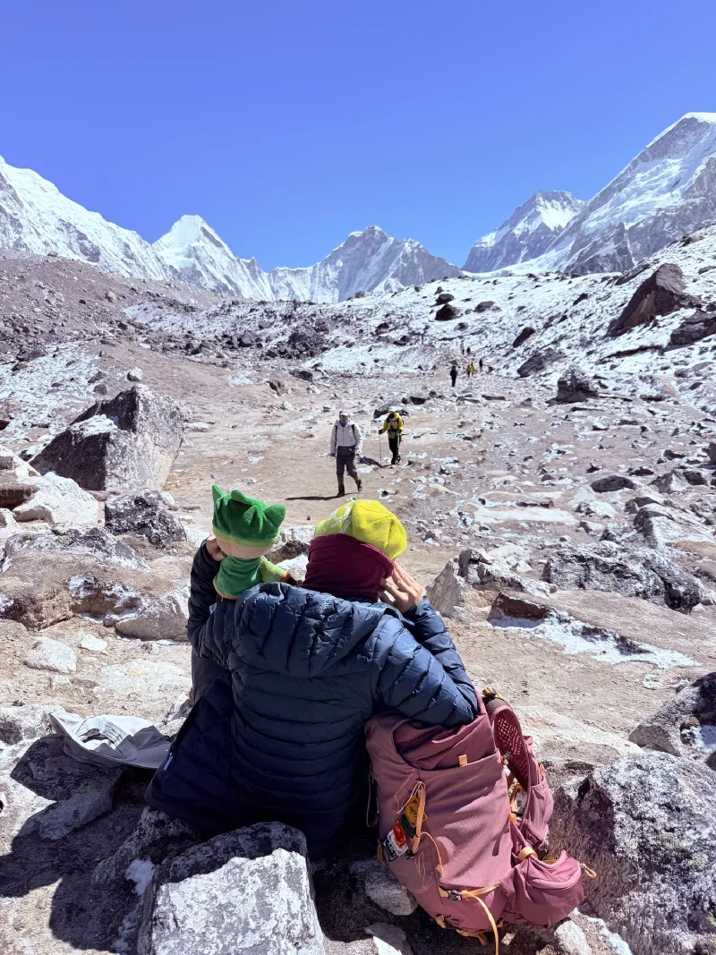
At one point, the other two porters went on ahead after lunch and Nicholas was on his own. He pulled up to one of the porter rest stops, a place where they set down their loads on stone ledges. It was snowing. One other porter was resting there.
Nicholas dropped his bag like he’d done it a thousand times, then coughed a few times, clearing his lungs from the cold air. The other porter looked at him. Did a double-take. Then reached into his bag, pulled out a half-finished Coke, and offered it to Nicholas.
Apparently, it’s pretty easy to get adopted into the porter community. Just show up with a namlo and trail scruff.
They made it to Thukla by the afternoon. Surprisingly, Nicholas’s neck was totally fine. The namlo did its job. What got him were the shoulder straps, which left bruises where the bag shifted against them. But he’d carried his own bag the whole way, and somewhere on that trail, for a few hours at least, he wasn’t a tourist. He was just another guy hauling gear through the mountains.
12:30 AM. The alarm went off. Nicholas had skipped dinner again, gone straight to bed after speed-running the entire length of Everest Base Camp, and managed maybe three hours of sleep. At 5,164 meters (16,942 feet). In a tea house where the walls are plywood and the wind finds every gap.
He looked outside. Clear sky. Stars. No clouds.
Time to climb the highest point of the entire trek. In the dark. At 1 AM. Because apparently this is just what we do now.
Nicholas had been refining his warmth strategy across three consecutive nights of freezing his extremities off at extreme altitude. Night one at the stupa: nothing but layers. Night two at the Sherpa Memorial: Pokin’s emergency poncho blankets. Tonight, he leveled up again. He packed his actual sleeping bag.
The plan was to set up the camera at the summit of Kala Patthar, start the timelapse, and then crawl into the sleeping bag and wait. Revolutionary stuff. Someone should have thought of this sooner.
He also knew he didn’t have the energy to haul 25 pounds of camera gear straight uphill for two hours at this altitude. That’s where Kerman came in. The man had volunteered the night before, and at 1 AM he showed up ready to go, camera bag on his back, looking annoyingly fresh.
Kerman set off confidently into the dark. Nicholas followed. They started up a hill. Twenty-five minutes in, Kerman stopped.
“Uh-oh. Wrong way.”
Of course.
They turned around, hiked back to the lodge, and started over. It was now 1:45 AM. The Milky Way was rising, and they were forty-five minutes behind schedule because apparently nobody can find a trail in the Khumbu Valley after dark.
Nicholas was not going to miss the shot. Not this time. He’d read online that a fit hiker could summit Kala Patthar from Gorak Shep in about two hours if they weren’t suffering from AMS. The elevation gain is about 464 meters (1,524 feet) over roughly 2 kilometers of steep, rocky trail. At 5,000+ meters, where every breath gives you about half the oxygen your body expects.
With Kerman carrying the camera bag and Nicholas carrying nothing but trekking poles and stubbornness, they powered up.
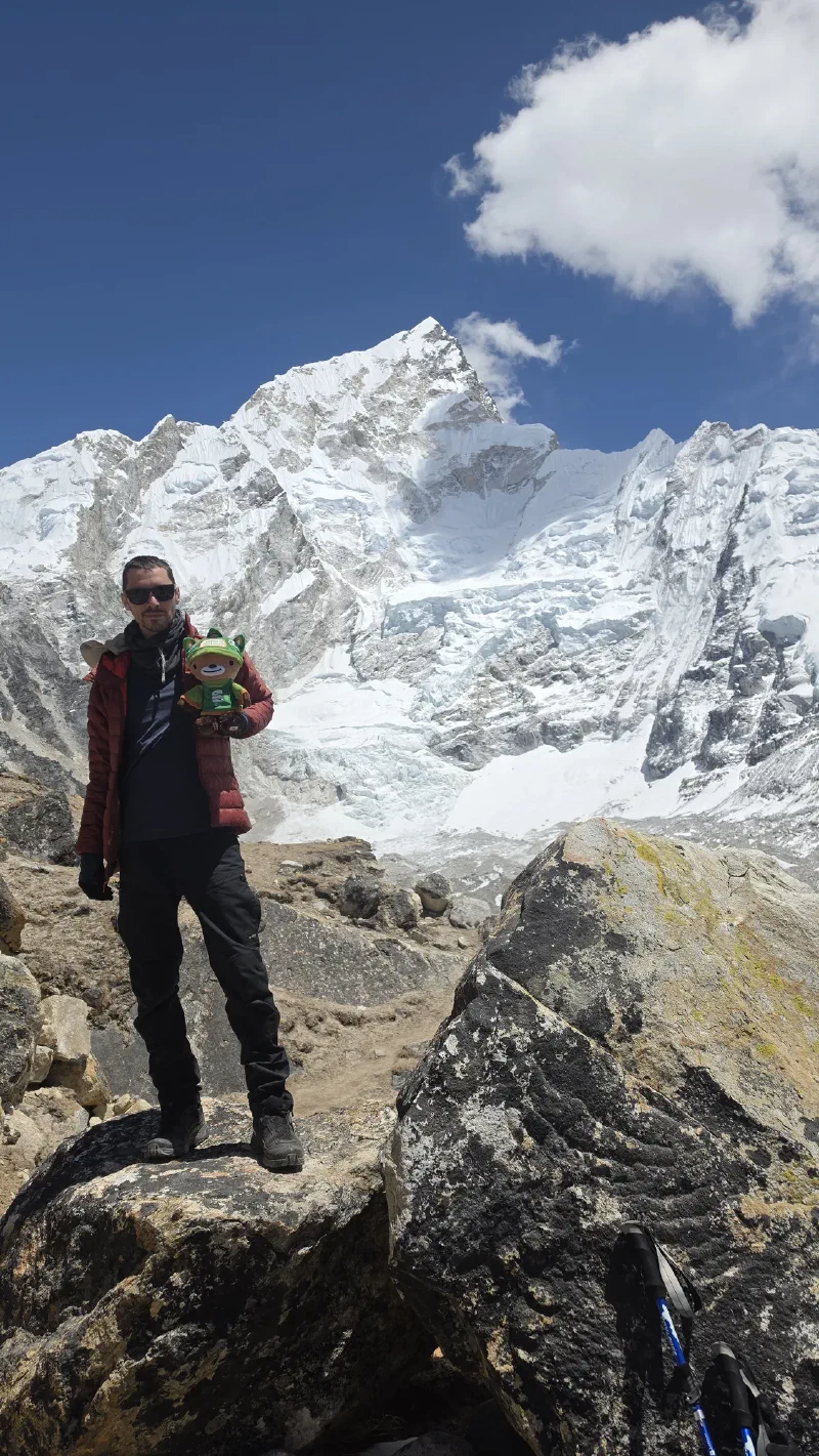
One hour and twenty minutes. Summit. 5,644 meters (18,519 feet).
For context, a normal trekker takes two to three hours. A fit one does it in an hour and a half to two. Nicholas did it in one twenty, at 1 AM, in the dark, after days of altitude exposure and back-to-back all-nighters. Those weighted stairmaster sessions back in Vegas apparently paid off.
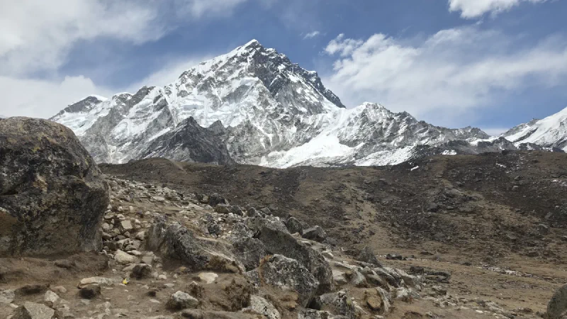
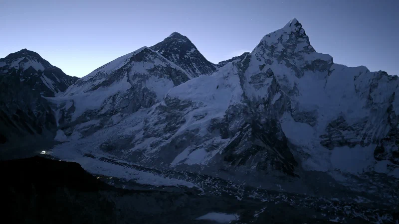
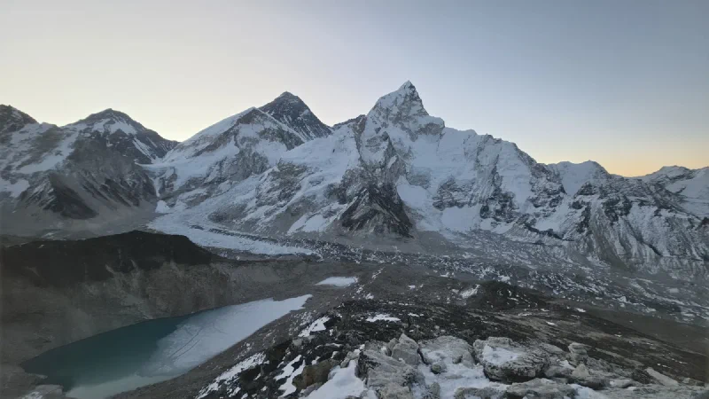
He set up the camera just in time. The Milky Way was there, arcing over the Himalayas. And from up here, unlike everywhere else on the trek, you could actually see Everest. The whole peak, not just the tip peeking out from behind its neighbors. Everest, Nuptse, Lhotse, the Khumbu Glacier, and the frozen lake of Gorak Shep far below, all laid out under a sky full of stars.
He started the timelapse. Click. Preview. Stars over Everest. Working. Click. Preview. Still working.
Then he unpacked the sleeping bag, laid it out on the rocks, and got in.
I want to pause here and note that Nicholas was sleeping in a sleeping bag on the summit of Kala Patthar at 18,519 feet, watching the Milky Way rotate over Mount Everest while his camera captured it frame by frame. There are worse ways to spend a night.
Pre-dawn from the summit. Everest in the center, frozen Gorak Shep lake below, and the lights of Everest Base Camp glowing in the bottom left. We’re the only ones up here.
Now here’s the thing. Nicholas had told Kerman and DB that he only needed help carrying the gear up. Once the camera was set up, Kerman could go back down to the lodge, sleep, and Nicholas would descend with the sunrise group later.
Kerman said “Okay.”
Then he went and hid behind a rock.
He didn’t go back down. He didn’t tell Nicholas. He just found a rock, sat behind it, and stayed. No sleeping bag. No warm gear. Just his jacket and whatever internal furnace powers that man. At 5,644 meters. For hours.
Nicholas woke up around 4:45 AM to the faint light of sunrise creeping over the peaks, and heard Kerman talking to himself, trying to stay warm.
“What are you doing up here?!”
Kerman shrugged. “You take photos for a very long time.”
Nicholas gave him his electric hand warmers. Poor Kerman. But what an absolute beast.
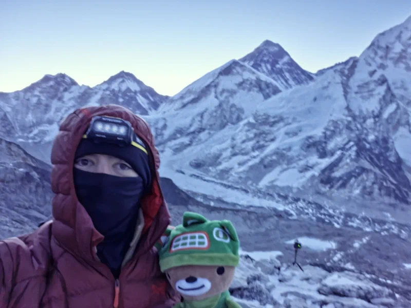
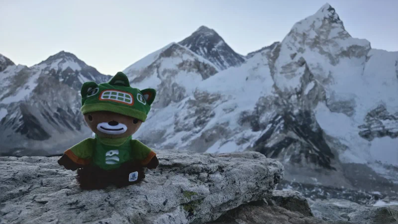
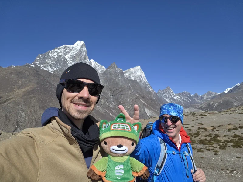
Me and my bud. 5,644 meters. Highest we’ve ever been. Everest behind us pretending to be casual about it.The whole scene. Everest, the glacier, the frozen lake, and a bear who just woke up from a nap at 18,500 feet.
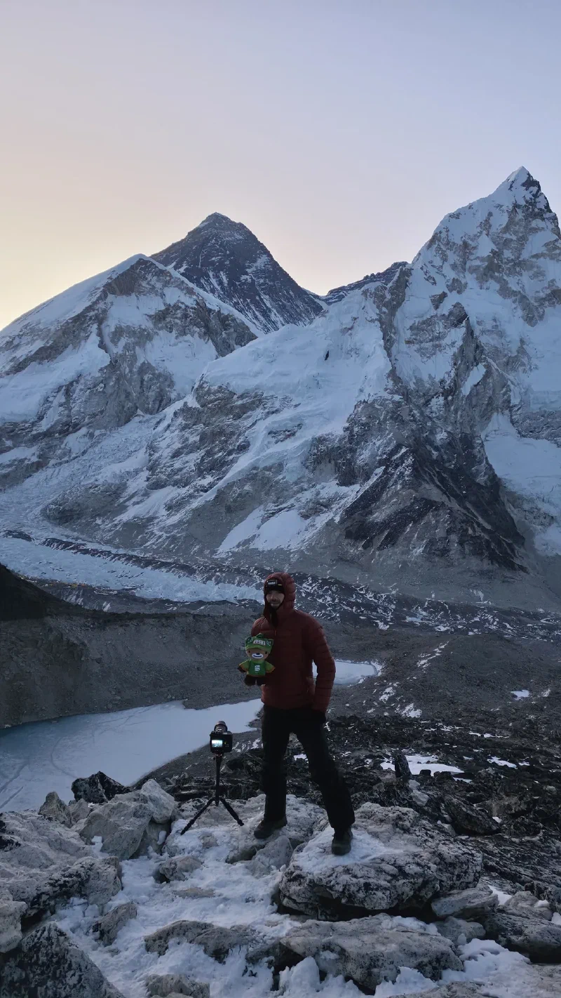
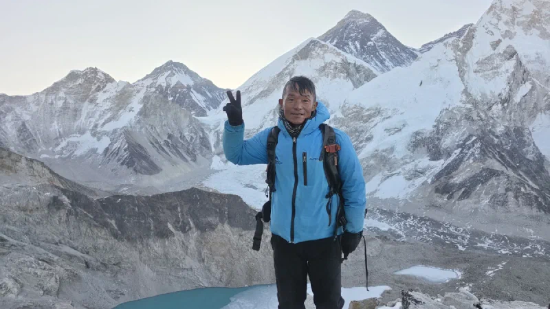
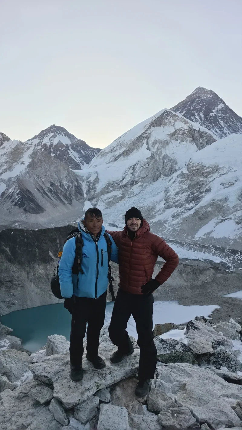
My official portrait with Everest. First spirit bear on Kala Patthar. First spirit bear to sleep under the Milky Way at 18,500 feet. Keep up, history.Kerman. The man who carried camera gear up a mountain at 1 AM, hid behind a rock for four hours in the cold, and is still smiling. Absolute legend.The summit team. One of them is an experienced high-altitude porter. The other hasn’t slept properly in three days. Both got the shot.
Another hiker we’d met at the tea house the night before, Sven, made it up for sunrise too. We took some photos of each other, and then Nicholas had one more idea.
No camera bag. Kerman had it. The sun was coming up. The trail was visible for the first time in hours. And Nicholas thought to himself: “I bet I won’t ever have another opportunity to trail run down a mountain at 5,644 meters.”
So he did. He trail ran the entire descent of Kala Patthar in the early morning light.
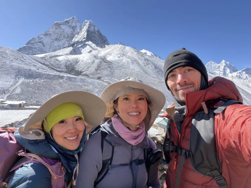
When he got back to Gorak Shep around 6 AM and told me what he’d done, I had some things to say. I was there for all of it, tucked in his backpack the whole climb, but hearing him recap it out loud really drove home how unhinged the last few days had been.
“You absolute maniac. You power-hiked to the summit of Kala Patthar at 1 AM, shot the Milky Way over Everest, napped in a sleeping bag at 18,500 feet, and then trail ran down? After the Sherpa Memorial shoot the night before? After speed-running the entire length of Everest Base Camp? After not sleeping for essentially three days?
At the summit, the effective oxygen is about 10.5%. That’s roughly half of sea level. Between Everest Base Camp and Kilimanjaro’s summit. Every breath gives you about half the oxygen your body expects. Your muscles were running on nothing. Any normal person’s body would have shut down somewhere around hour two of night one.
I’m not mad. I’m impressed. And slightly concerned about your judgment. But mostly impressed.”
The timelapse photos are still on the camera, unprocessed. But from what we saw on the previews, the Milky Way over Everest shot from that night is probably the best photo Nicholas has ever taken. It’s getting framed on our wall the moment we get home and have a chance to process it.
Back at Gorak Shep, it was already time to wake up because it was 6 AM. Po On had been told she couldn’t climb Kala Patthar due to AMS symptoms. Steve had bailed from exhaustion. Alice was the only other one who made the sunrise climb, heading up with DB around 3:30 AM.
Nicholas had two options: gun it all the way back to Pokin in one day, which was a stretch, or join the group heading to Thukla, the settlement he’d passed on the way up that had a perfect view for one more night of astrophotography.
Thukla was only about three hours away. A rest day, basically. Everyone else was totally gassed. Po On couldn’t go higher. Steve was running on empty. Alice had just done the sunrise climb. The whole group was happy to agree that Thukla was the move. Have some breakfast, easy hike down.
But of course this is the EBC speed run. You know Nicholas isn’t going to make it that easy on himself.
One hour of sleep. That’s what Nicholas got between returning from the Sherpa Memorial astrophotography session and the alarm going off again. One hour. And now we were hiking to Everest Base Camp.
The plan: Lobuche to Gorak Shep, have lunch, then the final push along the ridge to EBC. Take photos at the rock. Hang around for ten minutes. Turn around. Sleep at Gorak Shep. Simple enough if you ignore the part where we were doing it at 5,300 meters (17,400 feet) on a combined sleep total that wouldn’t fill a nap.
Back in Namche, we’d run into another group at the hotel. One of them was a guy named Kia who, at some point in the conversation, casually mentioned he was in “god-tier shape.” Now, I respect that energy. I consider myself a god-tier bear, so I appreciate when someone commits to the bit. Turns out Kia actually backed it up. He was heading to Everest Base Camp to summit Everest. For the third time.
Why would anyone climb Everest three times? I don’t know. Nicholas wanted to find out.
Kia invited us to visit their camp when we got up to EBC. “Come find us, have some tea, hang out.” Their tent was the very last one, the biggest camp, at the far end of Base Camp. Sounded great. We thought nothing of it at the time.
Nicholas and Alice on the morning march. This is the face of a man running on one hour of sleep and pure stubbornness.The squad. Me, Nicholas, Po On, and Alice. Everyone’s smiling now. Give it two hours.
The hike from Lobuche to Gorak Shep was where the oxygen started to thin out in earnest. Walking felt like wading through something. Every step required a little more effort than it should, like someone had turned up the gravity a few percent. Nicholas thought it was manageable. Po On was starting to struggle. The altitude was creeping up on her: tiredness, dizziness, slowing down. AMS doesn’t announce itself politely.
Me and my bud with Pumori watching over us. We look way too cheerful for people who can barely breathe.Po On taking a tactical power nap on the rocks. I decided to join. Solidarity.
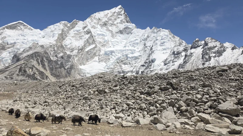
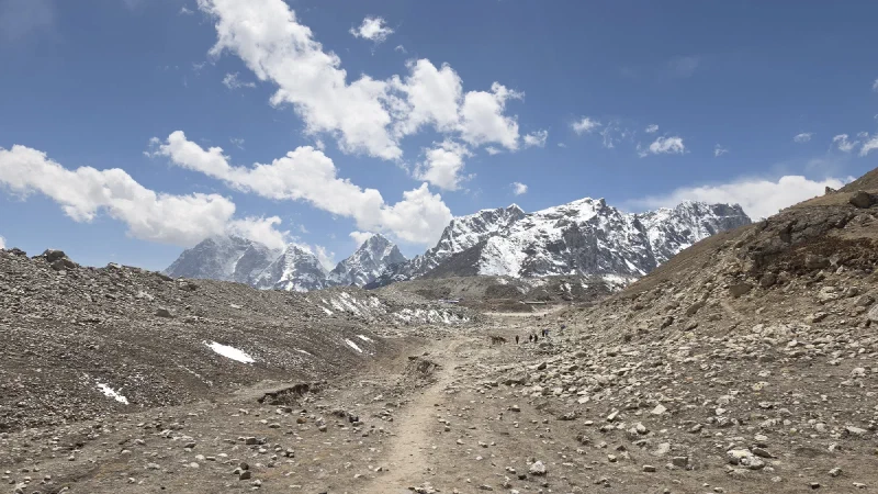
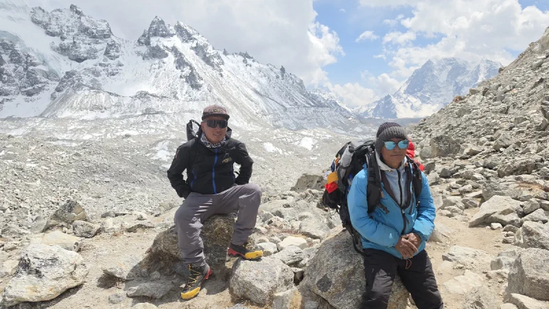
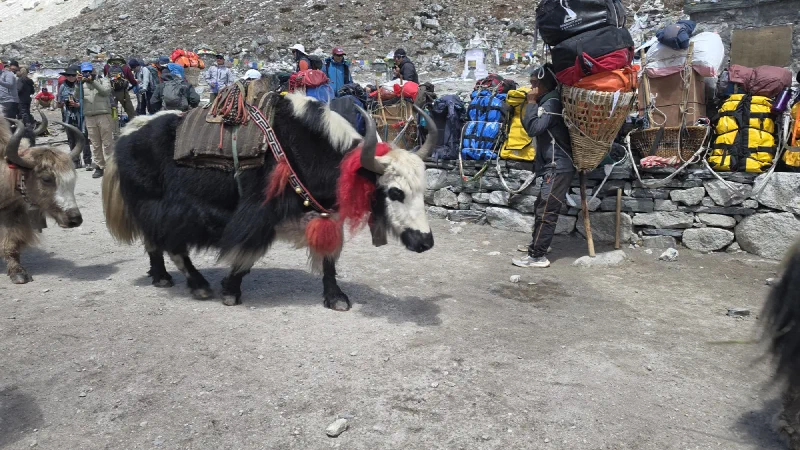
Past Gorak Shep, the trail turns into something else entirely. The ground is glacier moraine: loose rock, grey dust, and ice. Yak caravans haul supplies through like it’s a highway, except the highway is made of rubble and sits at the altitude of a small airplane.
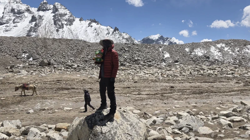
Yak logistics. Still more reliable than most delivery services.Standing on a rock because at this altitude, you take any excuse to stop moving and call it a photo opportunity.
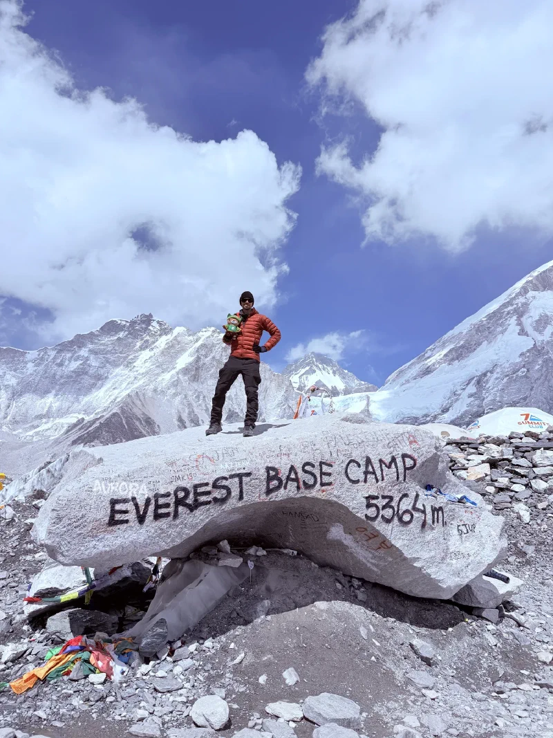
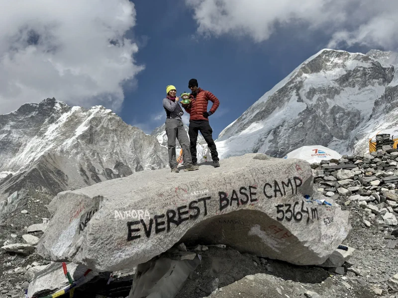
And then we were there. Everest Base Camp. The rock. The one you see in every photo from every trekker who’s ever made it this far. We climbed on it.
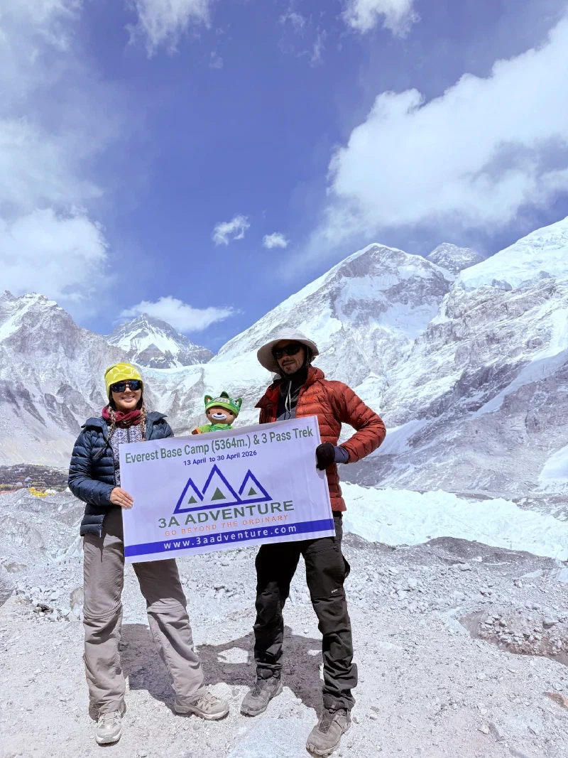
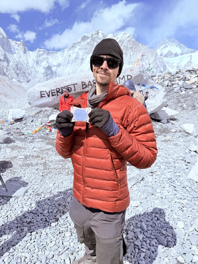
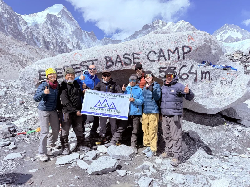
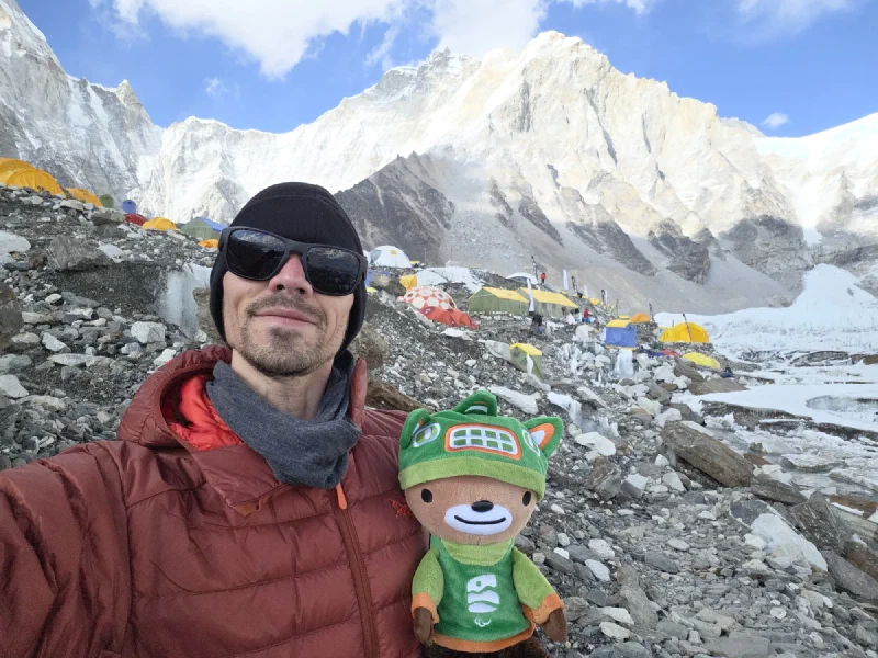
Me and Nicholas on the EBC rock. 5,364 meters (17,598 feet). I am officially the first spirit bear to reach Everest Base Camp. You’re welcome, history.The three of us. Po On looks ready to collapse but she’s smiling, so it counts.Official banner shot. Proof we were here. As if the altitude headache wasn’t enough proof.Our friend Lauren owns a cookie company. So naturally we brought her cookies to Everest Base Camp for a photo. Marketing at 17,000 feet.
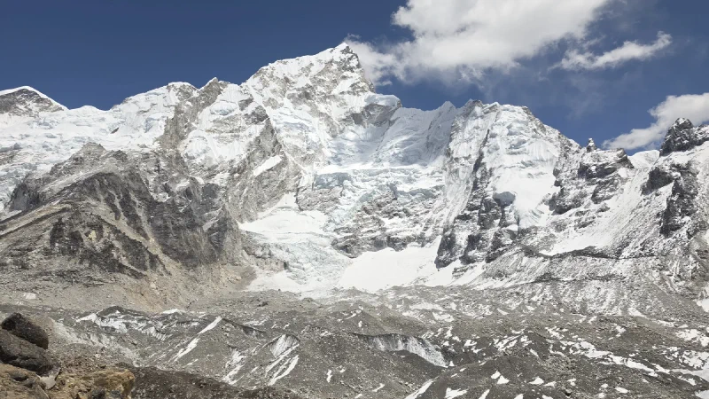
Here’s one thing they don’t tell you about Everest Base Camp: despite being called the Everest trek, you don’t really see Everest. It’s tucked behind other mountains the entire time, just the tip peeking out occasionally like it’s shy. You’d think the mountain named in the trip title would show up more. Kala Patthar, a nearby peak at 5,545 meters (18,192 feet), is where you go if you actually want a view. But that’s tomorrow’s problem.
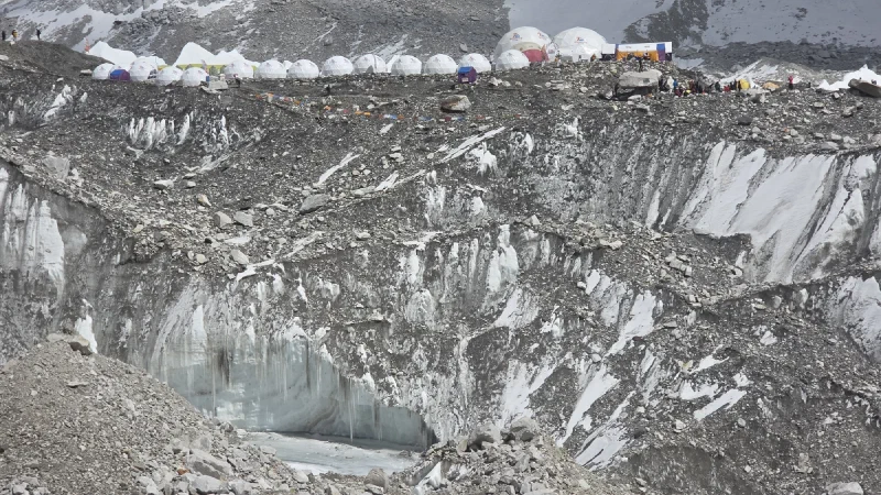
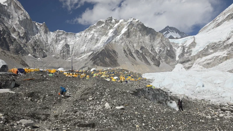
Everest Base Camp. Dozens of expedition tents stretched along the glacier. Somewhere in there is a guy who climbs Everest for fun. We just have to find him.
Po On looked at the tents stretching into the distance and asked DB if she could quickly run to the far end to find Kia’s camp. DB laughed. Not a polite laugh. The kind of laugh that means “absolutely not.” He explained that getting to the other side of EBC wasn’t a quick walk. It’s over a mile of navigating ice ridges, moraines, and crevasses. It would take ages. And Po On looked like she was about to pass out from the altitude, so she gave up.
DB looked at him. “Yeah, sure. Meet you back at Gorak Shep.”
So while Po On and the group turned around to head back, Nicholas and I started blitzing through Everest Base Camp. And here’s the thing about Base Camp that you don’t appreciate until you’re in it: the place is enormous. It stretches over a mile across the Khumbu Glacier, a sprawling city of expedition tents, supply depots, and ice ridges. Getting from one end to the other isn’t a stroll. It’s a full hike across unstable moraine and glacier, at 5,300 meters, and it took Nicholas about 45 minutes of speed-hiking to cross. Kia said his tent was the very last one at the far end. Fine.
The scale of this place. Those tiny dots are tents. Those bigger dots are also tents. The white wall behind them is the Khumbu Icefall, which is currently closed because it keeps trying to kill people.
Nicholas finally reached the far end and started asking around. “Hey, do you know Kia?” Everyone said “Kia who?” Not helpful. So he started doing what Nicholas does: pulling out the camera and interviewing random climbers. “Hey, what are you doing here? Oh, climbing Everest? Can I ask you some questions?”
Mid-interview, someone popped their head out of a tent. “Are you looking for Kia?”
“Yeah! Where is he?”
“The tent at the very end. The one with the giant pirate flag.”
A pirate flag. Of course. A man who climbs Everest three times, calls himself god-tier, and flies a pirate flag over his tent. That’s either someone you want to know very badly or someone you want to avoid entirely. No middle ground.
Unfortunately, Kia had just left for a hike and wouldn’t be back for hours. Nicholas was disappointed. I was devastated. A kindred spirit. Someone who clearly operates on the same level of ambition and self-regard as me, and we missed him by minutes.
Somewhere in the middle of Base Camp. Still hiking. Still looking for pirates.
With daylight running out and no headlamp (because of course he forgot it), Nicholas turned around and speed-ran the entire length of Base Camp back to the ridge, then down to Gorak Shep.
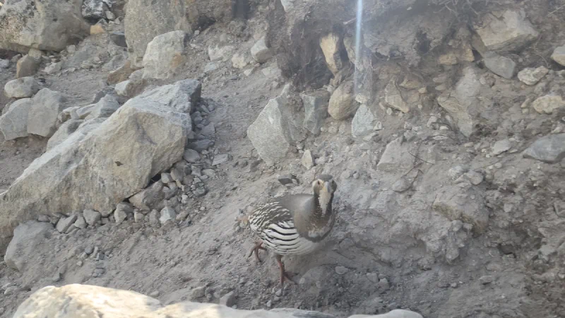
The wildlife at EBC: big, fat, fearless birds that just stand there. Nicholas asked DB if they were tasty. ‘No, no. Very protected.’ They probably taste like chicken.
Nicholas got back to Gorak Shep and looked at the schedule. The group was set to wake up at 3:30 AM to climb Kala Patthar for sunrise photos. Kala Patthar is 5,545 meters (18,192 feet), the highest point on the entire trek, and one of the only spots where you can actually see Everest properly.
And Nicholas’s brain, running on trail dust and whatever neurochemical is responsible for bad decisions at altitude, thought: “What if I went up Kala Patthar tonight? For astrophotography? Milky Way over Everest?”
The hike from Gorak Shep to the summit of Kala Patthar is a three-hour slog straight uphill. At night. In the cold. At extreme altitude.
Nicholas found DB. “Hey, are any of your porters crazy enough to carry my camera gear up Kala Patthar at midnight if I tip them well?”
DB thought he was joking.
He was not joking.
DB asked the group. Kerman, the absolute goat, said “Sure, I’ll do it.”
Departure time: midnight. That left a few hours for another nap.
Let’s see how this one plays out. It can’t possibly work.
There are no photos in this post. It was pitch black, well below freezing, and Nicholas wasn’t about to pull out his phone to stage a portrait of me next to a cairn at midnight. So you’re getting words. Deal with it.
The alarm went off at 11:30 PM. Nicholas had slept maybe four hours after skipping dinner and collapsing into bed the moment we reached Lobuche. He looked outside. Clear sky. Stars everywhere. No moon.
He considered, very briefly, going back to sleep. Then he remembered 500 black frames.
So we got up. Packed the camera, the tripod, lenses, batteries, and me into the big backpack. Strapped on the headlamp. Stepped outside into dead silence. Lobuche at midnight is the kind of quiet where you can hear your own heartbeat, which at this altitude is doing more work than it probably should be.
The plan was simple: hike back down the trail we’d come up that afternoon, find the Sherpa Memorial, set up the camera, and shoot a timelapse of the Milky Way rising over the valley. About 45 minutes each way. Easy.
Here’s the thing about hiking in total darkness at 5,000 meters (16,400 feet) with no moon: you can’t see anything. The headlamp throws a little pool of light a few meters ahead, and beyond that it’s just black. There was fresh snow on the ground covering most of the trail markers. Nicholas was moving fast, head down, watching his footing, crossing little frozen streams, crunching through frost.
At some point the trail split. He didn’t see it.
He kept walking confidently in what he was sure was the right direction. Crossed a few more streams. Scrambled over some rocks. The terrain felt a little different than he remembered, but it was dark, and everything looks different in the dark.
Then he looked up.
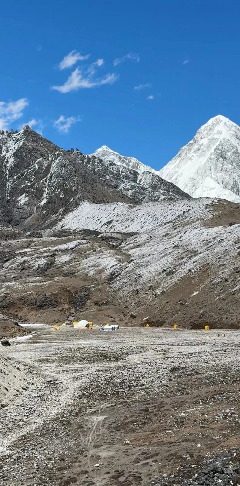
A dome. A white geodesic dome sitting in a rocky basin, surrounded by tents. Like something out of a Mars colony.
Lobuche Base Camp. The mountaineering staging area we’d looked down on from the ridge that afternoon. He’d walked right past the split and descended into the valley below.
Nicholas pulled out his phone. No signal, no internet, but the offline map showed his location and a marker for the Sherpa Memorial. The memorial was up on the ridge above him. The trail back to where he’d missed the split was somewhere behind him in the dark, distance unknown.
He had two options. Option one: retrace his steps, find the split, take the correct trail. Sensible. Safe. Slow.
Option two: ignore the trail entirely, point himself directly at the memorial marker, and just climb straight up the hill.
If you’ve ever played a video game and thought “I bet I can skip this entire section by just climbing the wall,” that’s exactly what Nicholas did. No trail. No switchbacks. Just straight up a steep, dark hillside at nearly 5,000 meters (16,400 feet) with 25 pounds of camera gear and a bear on his back, hoping there wasn’t a cliff face in the way. At that altitude, walking on flat ground makes you winded. He charged up this hill without stopping. I have no idea how his lungs were doing this on four hours of sleep in the last two days. Any normal person’s body would have quit halfway up.
There wasn’t a cliff. We hit the ridge, and there it was. The Sherpa Memorial, right where it was supposed to be. The whole detour took about the same time as the actual trail would have. Thirty-five minutes, give or take.
This time Nicholas knew what he was doing. After the Astrosaster, he’d dug through every menu on the camera and found a setting buried three levels deep that previews each frame after it’s taken. No more blind shooting for four hours and hoping. Every twenty seconds, the screen would flash the latest frame. If something went wrong, he’d see it immediately.
He set up the tripod, framed the valley looking south with the mountains on either side, and started the timelapse. Click. Preview. Stars. Click. Preview. Stars. Working.
For the next three or four hours, we sat against a rock wrapped in emergency poncho blankets, trying to stay warm. Pokin had insisted we bring them before she left. Smart woman. It was still freezing. Nicholas couldn’t feel his toes or his fingers. But there was almost no wind this time, which made it considerably less miserable than pacing circles around the stupa the night before. The emergency blanket wasn’t big enough to lie down in, so we wrapped ourselves up, curled into a ball, and tried to sleep sitting on our knees. Neither of us succeeded.
The weather held. The camera kept clicking. Every preview showed stars.
I saw the previews on the camera screen, and yes, they look pretty great. But that’s all I can tell you right now. Nicholas has no computer and no Wi-Fi out here. The photos are trapped on the camera’s memory card, unprocessed, unedited, unseen at full resolution. We’ll post them after we get home.
For now, just trust me. The bear saw them. The bear approves.
We packed up at dawn, hiked back to Lobuche the normal way this time, and got in just in time for maybe an hour of sleep before the alarm went off again. Next stop: Everest Base Camp. No time to even download the photos to see how good they really were.
While Pokin headed down to Tengboche, we headed up. Nicholas, Po On, Kerman, and me. Destination: Lobuche, about 4,940 meters (16,207 feet). Higher than anything we’d done so far, and Nicholas was doing it on zero sleep.
The plan, if you could call it that, was insane. Today: Dingboche to Lobuche. Tomorrow: all the way up to Everest Base Camp and back to Gorak Shep. That night or the next: Kala Patthar. Then sprint back down to Tengboche to meet Pokin. Three days to do what most people take a week to do, with astrophotography attempts every clear night. The original three high passes they came here for? Scrapped entirely.
Nicholas wasn’t in much of a mood. He’d just watched Pokin walk the other direction with fluid in her lungs. He hadn’t decided if he’d made the right call. He was running on nothing, emotionally and physically, and the camera stayed mostly in his pocket. The photos in this post are sparse because the day felt sparse.
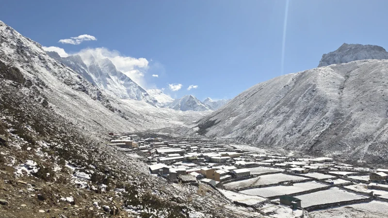
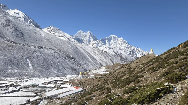
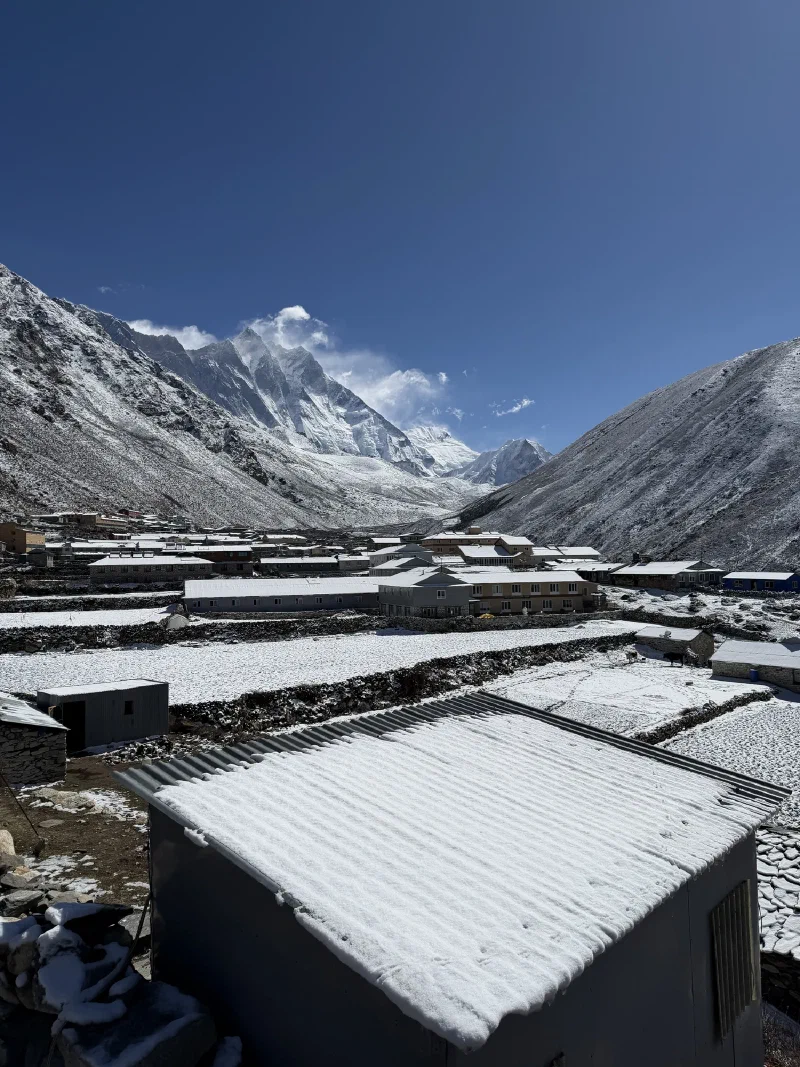
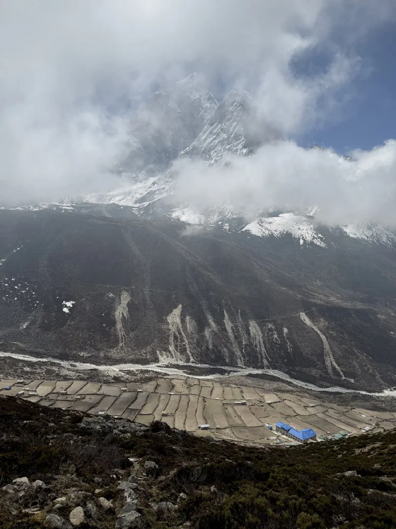
Dingboche from above. Hard to believe this place nearly broke us.
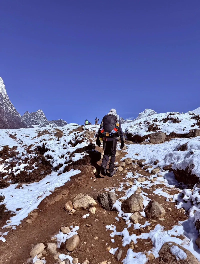
Nicholas’s backpack. Covered in prayer flags, marching uphill on fumes.
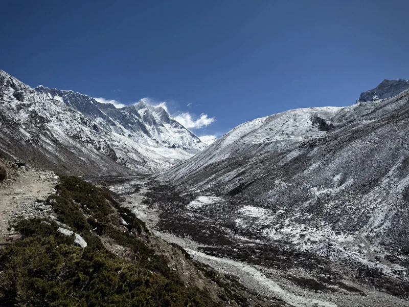
The hike from Dingboche climbs steadily through increasingly barren terrain. The last scraps of alpine shrub give way to rock and dust. Trees are a distant memory. Even the yaks start looking like they’d rather be somewhere else.
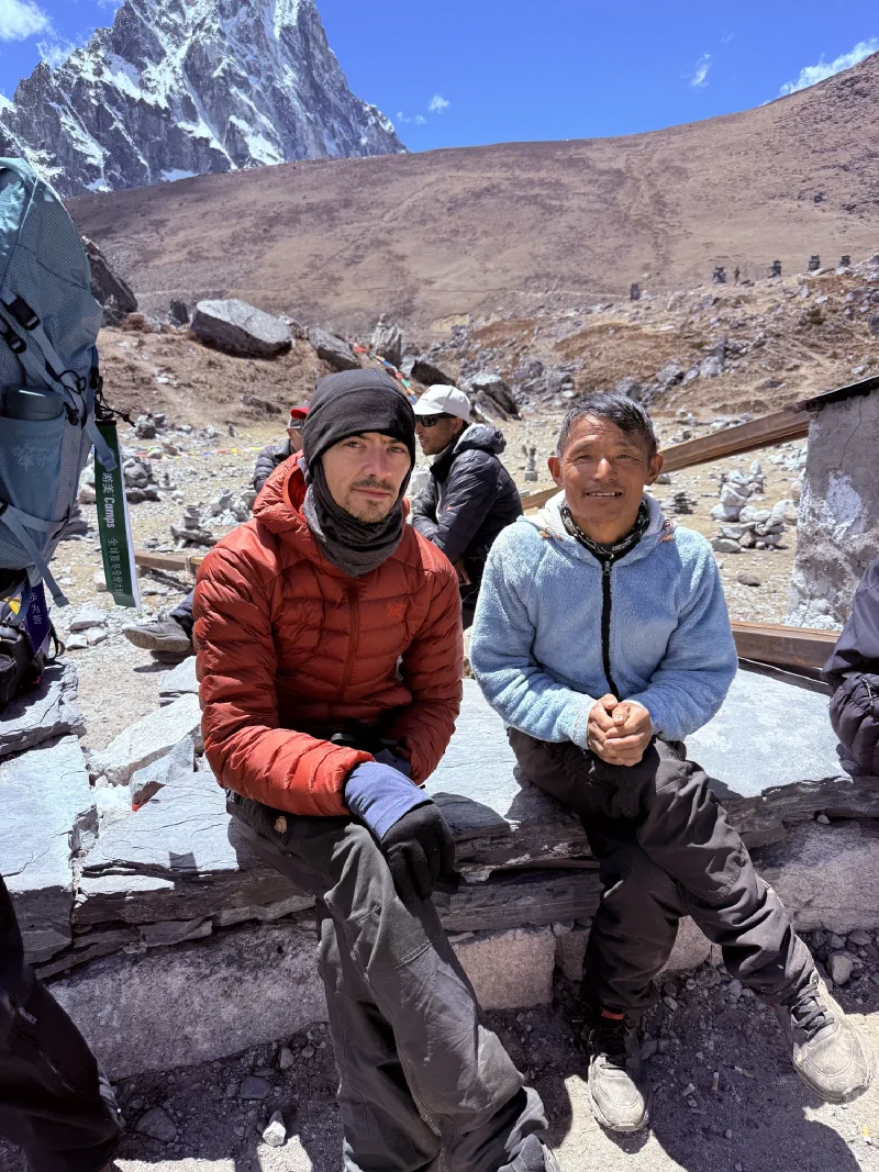
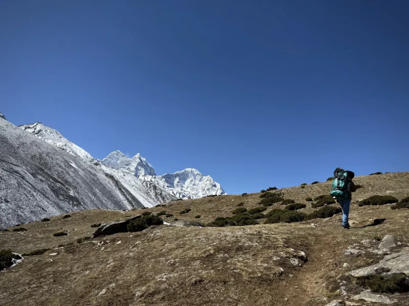
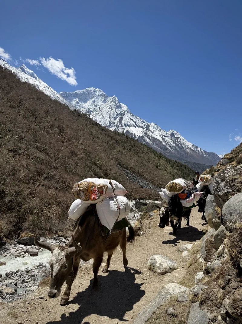
Rush hour on the EBC trail. Ama Dablam in the back, doing its thing.Nicholas and Kerman. Kerman’s carrying roughly four times his body weight and somehow looks less tired than Nicholas.
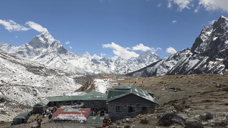
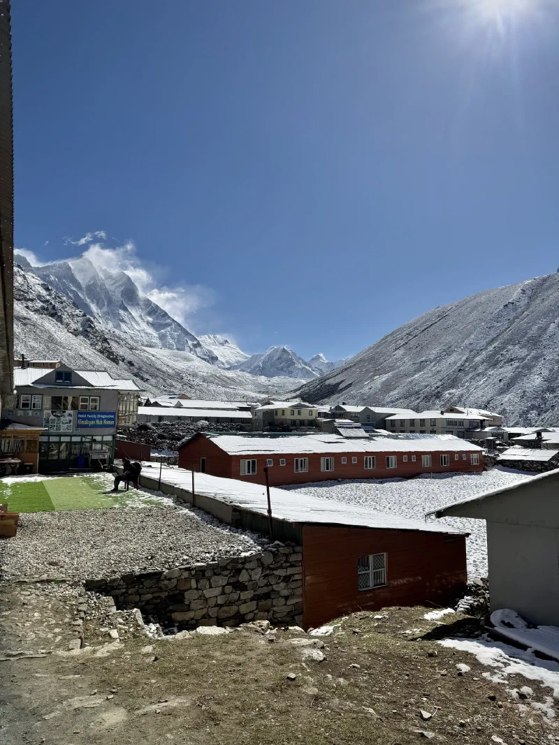
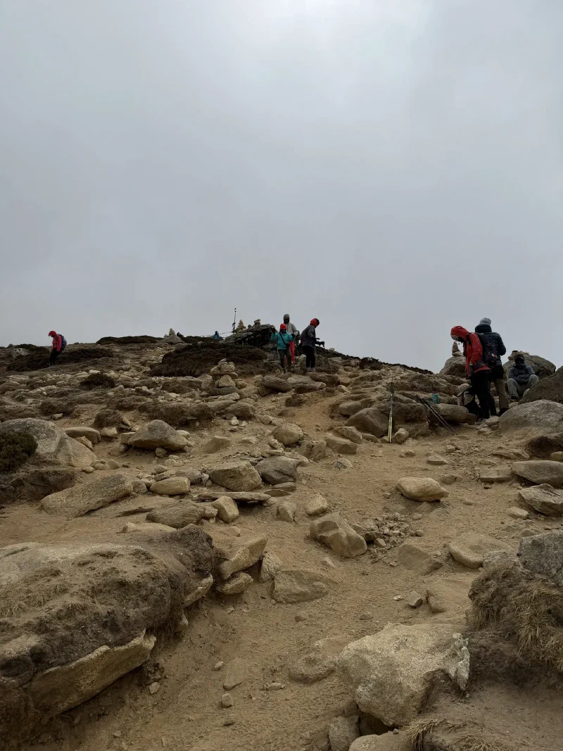
Partway through the day, the trail drops into the small settlement of Thukla, a cluster of tea houses wedged into the valley before the steep push up Thukla Pass. A place to eat, warm up, and stare at the hill you’re about to climb.
Thukla. Last stop before the pass. The yaks look unimpressed.
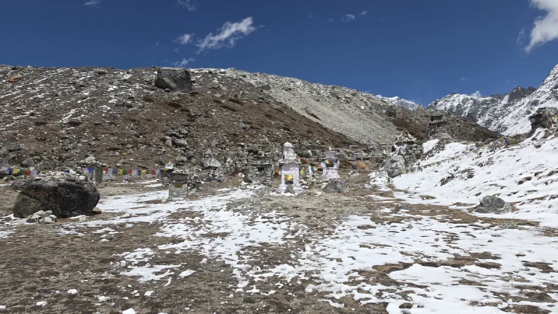
At the top of Thukla Pass sits one of the most sobering places on the entire trek. The Sherpa Memorial at Chukpi Lhara is a collection of stone monuments, chortens, and plaques dedicated to the Sherpas and climbers who have died on Everest and the surrounding peaks. Prayer flags stretch between the cairns, and white khata scarves drape over the stones.
It’s quiet up there. Not the kind of quiet where nobody’s talking. The kind where nobody needs to.
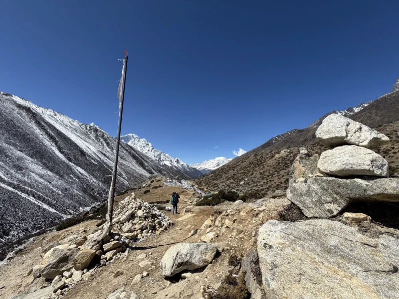
The Sherpa Memorial. Every stone up here represents someone who didn’t come back.
Nicholas and Kerman taking a break. Kerman’s still smiling. Nicholas is running on fumes and stubbornness.
But Nicholas noticed something else up here. Looking back down the valley from the memorial, the view was wide open to the south. Mountains framed perfectly on both sides, the valley stretching out below. Exactly the kind of composition that would look spectacular with the Milky Way arching over it.
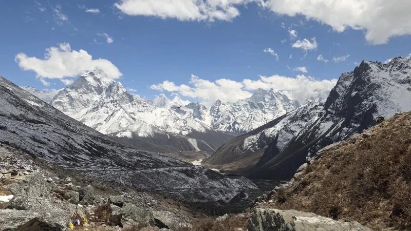
The view from the memorial. Nicholas saw a photo opportunity. The galaxy had other plans. Or maybe this time it didn’t.
He filed that away. The memorial was about 45 minutes from Lobuche. Not close, but not impossible for a middle-of-the-night astrophotography run.
Past the memorial, the trail follows a high ridge before dropping steeply into a valley. And that’s where things got interesting. Down below, tucked into a rocky basin at the base of Lobuche East, sat the Lobuche Base Camp. Not the village of Lobuche where we’d be sleeping, but the actual mountaineering base camp where climbers stage their attempts on the peak.
Lobuche Base Camp. Dome tents and what looks like a Martian habitat. Someone down there is having a worse time than us.Me and my bud. The valley behind us is everything we’ve already climbed through. Ahead of us is everything we haven’t.
We made it to Lobuche by early afternoon. Higher than we’d ever been, thinner air than we’d ever breathed, and Nicholas still hadn’t slept.
But he wasn’t done thinking about the Sherpa Memorial. That valley view, wide open to the south, mountains framed on both sides. If the weather cooperated tonight, he could hike back out there and try for the astrophotography shot. Redemption for the Astrosaster. Forty-five minutes each way, in the dark, at nearly 5,000 meters, on zero sleep.
He skipped dinner, went straight to bed, and set his alarm for 11:30 PM. Just to check the sky.
Nicholas didn’t sleep. By the time he got back from the stupa, explained the disaster to Pokin, and started packing away his gear, the alarm was already going off. Six AM. Zero hours of sleep.
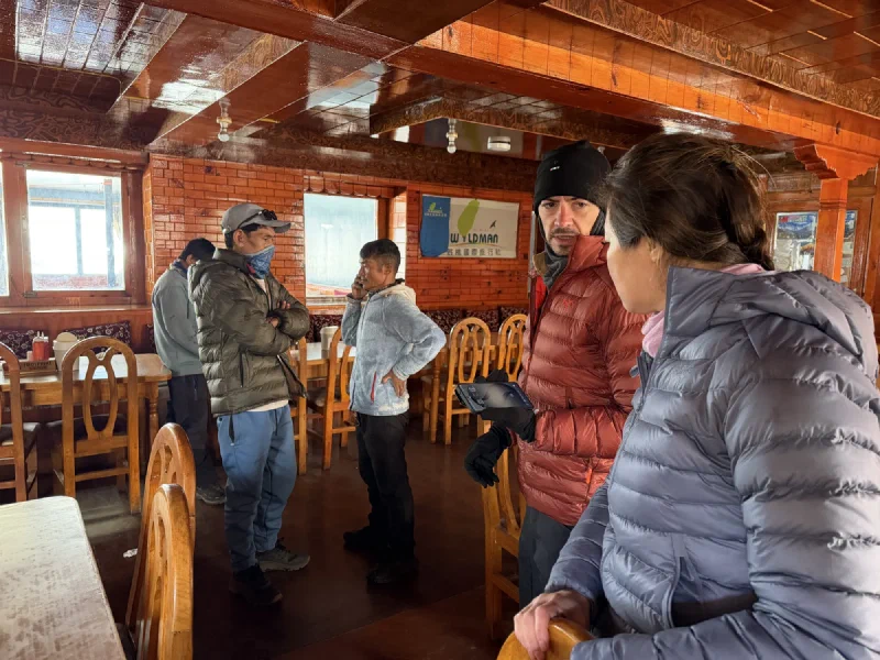
The decision everyone had been putting off couldn’t wait anymore. Pokin’s lungs weren’t getting better. They were never going to get better up here. The doctor had said it plainly: go down. So they sat in the lodge that morning, running on no sleep and dread, and figured out a plan.
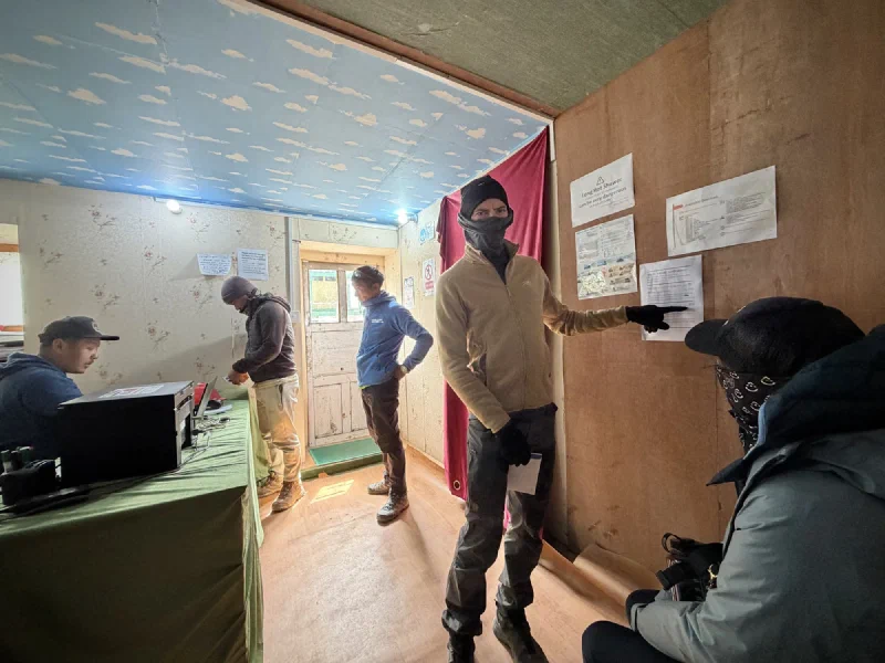
The war room. Wood paneling, zero sleep, and one very difficult conversation.
Here’s what they came up with: Pokin would descend to Tengboche with Nilman, one of our porters. Tengboche was lower, had the heated room at The Himalayan where she’d stayed before, and she could actually rest and recover there.
Po On going up to Lobuche to rejoin the group was risky. She wasn’t doing well with altitude either, and higher wasn’t the direction you want to send someone who’s struggling. But Nicholas could take her up with Kerman, one of our other porters, reconnect her with Steve, Alice, and the rest of the crew, then push on.
Pokin was the one pushing him to keep going. She didn’t want Nicholas to cancel everything on her account. If he could still get his photos, still see EBC, still salvage something from the trip, he should. The astrophotography window was the clincher. The next two or three nights were the last chance before moonlight ruined the sky. After last night’s disaster, Nicholas had nothing to show for months of planning. If he went down with Pokin now, it was over. No EBC, no astro, no nothing. If he went up, he could speedrun the whole thing: Lobuche today, EBC tomorrow, Kala Patthar, then sprint back down to Tengboche.
Pokin would be on her own for three nights. She’d have Nilman, she’d be descending, and she’d be resting in a proper room. It wasn’t ideal. But it was the plan that gave everyone the best shot.
Dingboche in the morning. Frost on the rooftops, mountains pretending to be casual about it.Last look at the stone walls. These have been here longer than any of us and they’ll be here long after.
We stood outside the lodge and said our goodbyes. Po On was coming with Nicholas and me up toward Lobuche. Pokin was heading the other way, back down through everything we’d already climbed.
One last group photo. Ama Dablam in the back doing what she does best.
And then they split. Nicholas, Po On, and I headed uphill. Pokin and Nilman turned around and started walking back.
The rest of this post is Pokin’s. She took photos the whole way down, and what follows is her solo trek from Dingboche back to Tengboche. About 10 kilometers (6 miles) and 400 meters (1,300 feet) down, then 200 meters (650 feet) back up at the end to reach Tengboche. With bronchitis. And fluid in her lungs. Coughing the entire way.
Looking back at Dingboche. Still beautiful, even when you’re leaving it because it’s trying to kill you.The eyes on the stupa. They see everything. Including bears leaving without saying goodbye.Nilman leading the way. That pack weighs more than me, and I’m not very heavy, so the bar is low.
Pokin set the pace. One step at a time, stopping to catch her breath every few minutes. Every cough rattled something that shouldn’t be rattling. Nilman followed behind, matching her speed.
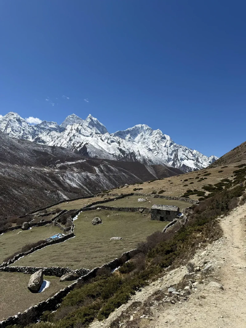
The trail dropped down through the high valley, past the same stone-walled fields and kharka huts they’d walked through days earlier going the other direction. The difference was she was alone now. Just her, Nilman, and whatever wildlife was judging her from behind the rocks.
The valley stretching back toward where she came from. A long way to walk when your lungs are full of the wrong thing.
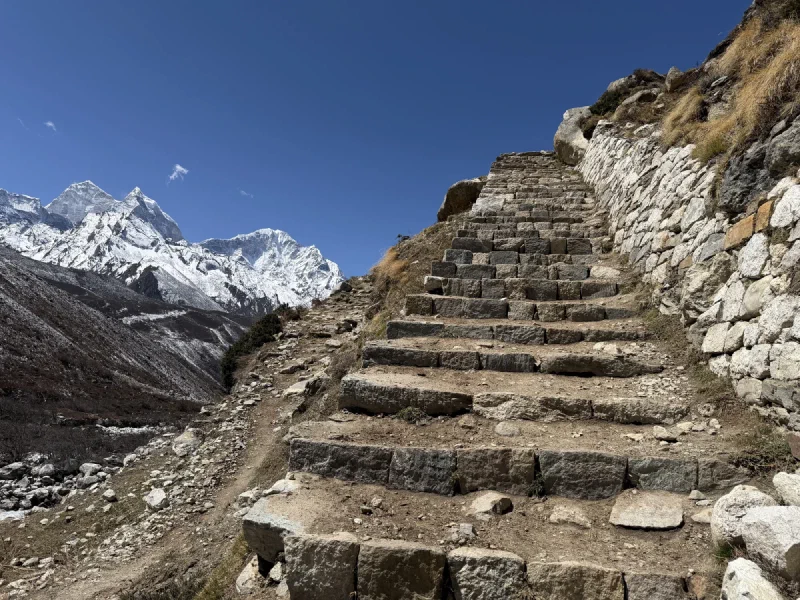
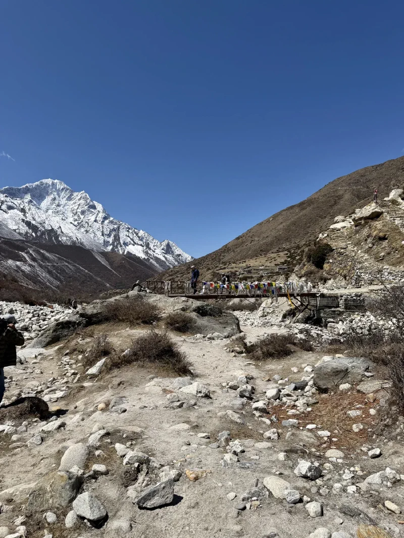
Stone stairs. Going up. Yes, up. The trail descends overall but keeps throwing in climbs just to keep things interesting.A bridge wrapped in prayer flags. If prayers work on lung fluid, she was covered.
Nilman kept letting Pokin lead, which sounds polite until you realize Pokin has no sense of direction. She kept taking wrong turns onto steep scrambles they had no business being on, and Nilman just followed with the bags without saying a word. No doubling back either. The slopes were too steep to turn around and climb back up, so they just committed and scrambled down whatever Pokin had gotten them into.
Every time Pokin asked if Nilman wanted a break, he said no. So they powered through the entire hike without stopping. No rest, no tea house detours, just walking.
As she descended, the landscape started to change. More green. More air. The dry, brown scrub of Dingboche slowly gave way to actual vegetation.
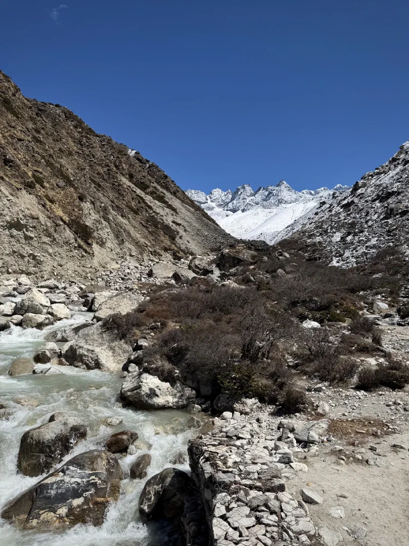
Glacial river. The water is that color because it’s ground-up mountain. Nature’s smoothie.
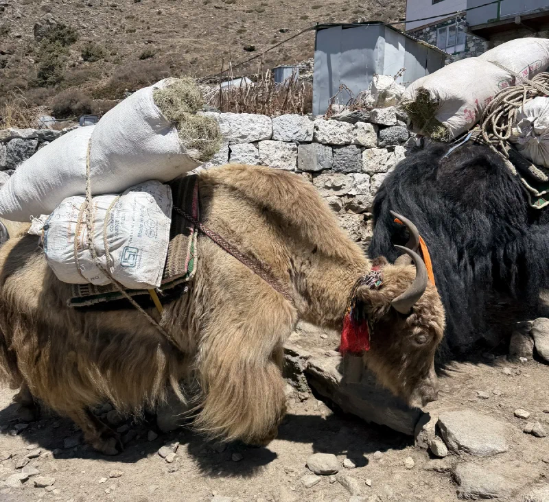
Yak train. When they come through, you get out of the way. Those horns aren’t decorative.
The last stretch from Deboche to Tengboche is all uphill. Nilman said twenty minutes. Pokin was out of steam. Whatever energy she’d been running on had run out somewhere on the valley floor, and the final climb turned into something closer to a crawl. Twenty minutes became an hour. She described it as moving like a caterpillar, which is generous to caterpillars.
But she made it. Tengboche by late afternoon, back to The Himalayan, back to a heated room. Lower altitude. Actual oxygen in the air. She could rest.
Meanwhile, Nicholas, Po On, and I were heading the other direction, straight up into thinner air. That’s the next post.
Nicholas had been planning this shot for months. Long before we left Vegas, before the trek even started, he’d mapped out a narrow window where everything would align: a new moon (so no moonlight washing out the sky), clear weather at extreme altitude (rare), and the Milky Way rising behind the Himalayan peaks at just the right angle to fill the frame. That alignment only happens for a few nights each year from this location. We were here for it.
The trip was falling apart around us. Pokin’s lungs were getting worse. The group had split up. Nicholas hadn’t decided yet whether he was going with Pokin to lower altitude or pushing on alone. But this shot was the one thing that could still go right.
We’d already been up to the stupa the previous night, when fog killed the shot after a single frame. But that attempt wasn’t wasted. We knew exactly where to go, exactly where to set up, exactly how to frame it. Tonight would be faster.
It had snowed during the afternoon, which sounds bad but is actually good. Snowfall pulls moisture out of the atmosphere, and once the system passes, what’s left is dry, stable air. The kind that lets starlight through clean.
Around midnight, Nicholas set his alarm and looked out the window.
We packed the camera gear, bundled up in every layer we had, and hiked up to the stupa in the dark. Twenty minutes through two inches of fresh snow. Probably around -12°C (10°F) before wind chill, closer to -20°C (-4°F) with it. At 4,410 meters (14,469 feet), the air is already thin enough to make you dizzy. Add subzero temperatures and high-altitude gusts and you’ve got yourself a party.
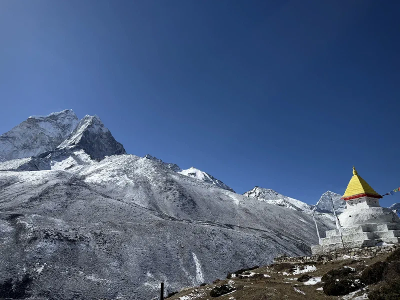
Nicholas set up the camera on the tripod, framed the composition exactly how he wanted it: stupa in the foreground, Ama Dablam rising behind, Milky Way cutting diagonally across the sky. He took a test shot. Beautiful. Sharp stars, clean foreground, perfect exposure. He ran a test timelapse for a few frames to make sure the interval was working. Checked them. Everything looked great.
He set it to 500 frames. About four hours of shooting. Clicked go.
Me and the camera, 1 AM, surrounded by fresh snow. This is fine. Everything is fine.The setup. Camera aimed at Ama Dablam. Sumi aimed at staying warm. One of us was more successful.
For the next four hours, Nicholas and I paced circles around the stupa, hiding behind it when the wind got bad. He did squats. Push-ups. Jumping jacks. Marched in circles. Anything to keep blood flowing. He had thermal long johns, hiking pants, an Arcteryx shell, three shirt layers, a fleece, a down jacket, an outer shell, leather glove liners, down mittens, and hand warmers. Still freezing.
I sat on the backpack and provided moral support, which is arguably the most important job.
The Milky Way was right there. He could see it with his own eyes, a faint misty band cutting across the sky above the mountains. It was rising up behind Ama Dablam exactly as planned, rotating slowly through the frame over the course of the night. Every time he glanced at the camera, it was clicking away. Click. Twenty seconds of silence. Click. Over and over.
This was the shot. The once-in-a-lifetime alignment he’d planned for. Clear skies, no moon, the galaxy arcing over the Himalayas. He was watching it happen in real time.
Around 4:30 AM, the camera stopped. 500 frames captured. Four and a half hours in the cold. Nicholas walked over with frozen fingers and pressed playback.
The lens has an electronic connection to the camera body. In extreme cold, that connection can drop. When it does, the lens forgets its settings and defaults to a tiny opening that lets in almost no light. The test shots were fine because the connection was still holding. Somewhere in the first few frames of the real timelapse, it failed. Every frame after that was so underexposed that they’re pure black. Not dark. Not fixable. Black.
The worst part: the camera screen goes dark during timelapse shooting. That’s normal. Nicholas was watching the camera the entire time, but there was nothing on the screen to tell him something was wrong. It was supposed to look like that. He had no way of knowing unless he pressed a specific button to preview a frame mid-shoot.
He didn’t know that button existed.
One press would have caught the failure on frame one. He could have fixed it and still had three and a half hours of shooting left. But he didn’t know. So he stood in the cold for four hours, watching the most beautiful sky of his life, while the camera recorded nothing.
Nicholas didn’t say much on the walk back down. I didn’t either.
He got back to the lodge at 5:30 AM. Wake-up call was at 6:00 AM. Zero sleep. Zero usable frames. And now, on no sleep and completely gutted, he had to face everything else: Pokin probably couldn’t make it to Everest Base Camp. His own trip was likely getting cut short. He had to choose between going down with Pokin or sending her alone with a porter who didn’t speak English. The new moon window had maybe three more nights before moonlight would ruin the sky, and he’d probably just blown his only real chance at the shot he’d been planning for months.
He watched the Milky Way rise over the Himalayas with his own eyes. It was perfect. And the camera got none of it.
The group split up this morning. Steve, Alice, and DB headed out early for Chukhung, continuing the Three Passes route as planned. Nicholas, Pokin, Po On, and I stayed behind in Dingboche. Pokin’s doctor had asked to see her again today, so we weren’t going anywhere.
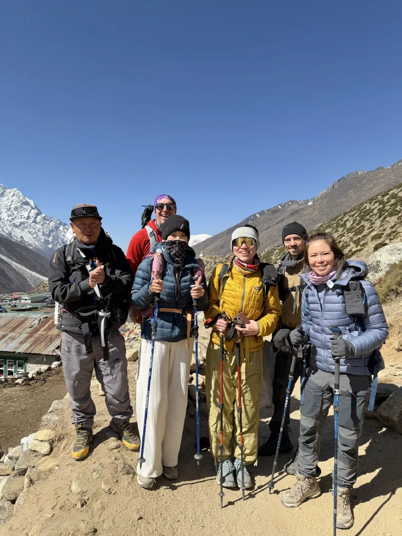
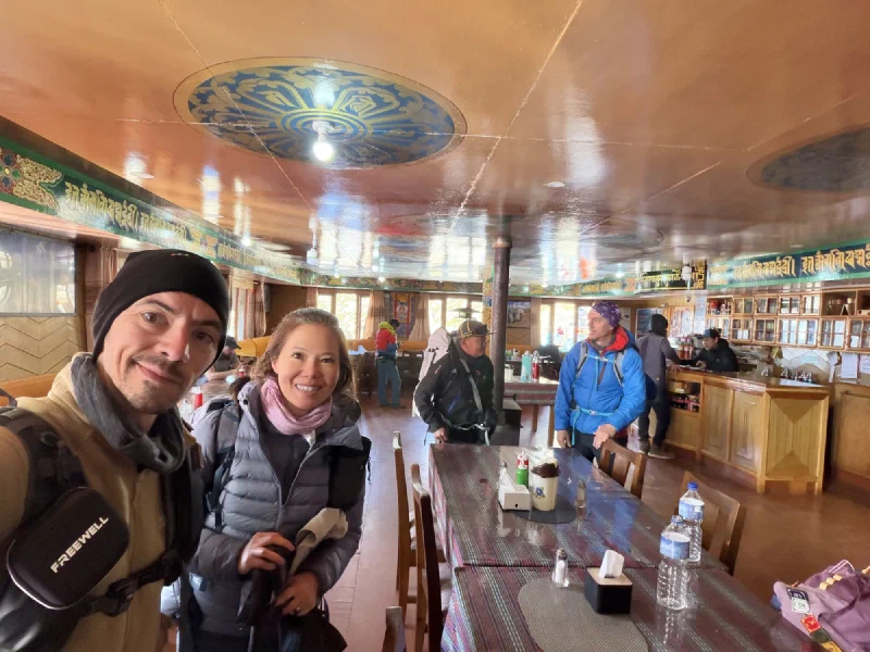
Last group photo before the split. Everyone’s smiling like this is fine and normal and not the moment the trip changes.The lodge dining room had a gold mandala ceiling. At 4,410 meters. Someone made choices and I respect them.
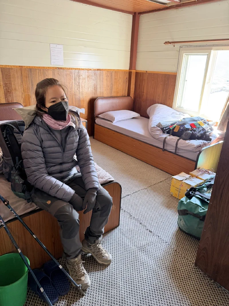
Since we’d be here another night, here’s what home looked like.
Pokin. Beat and discouraged. She knows what the doctor is going to say.
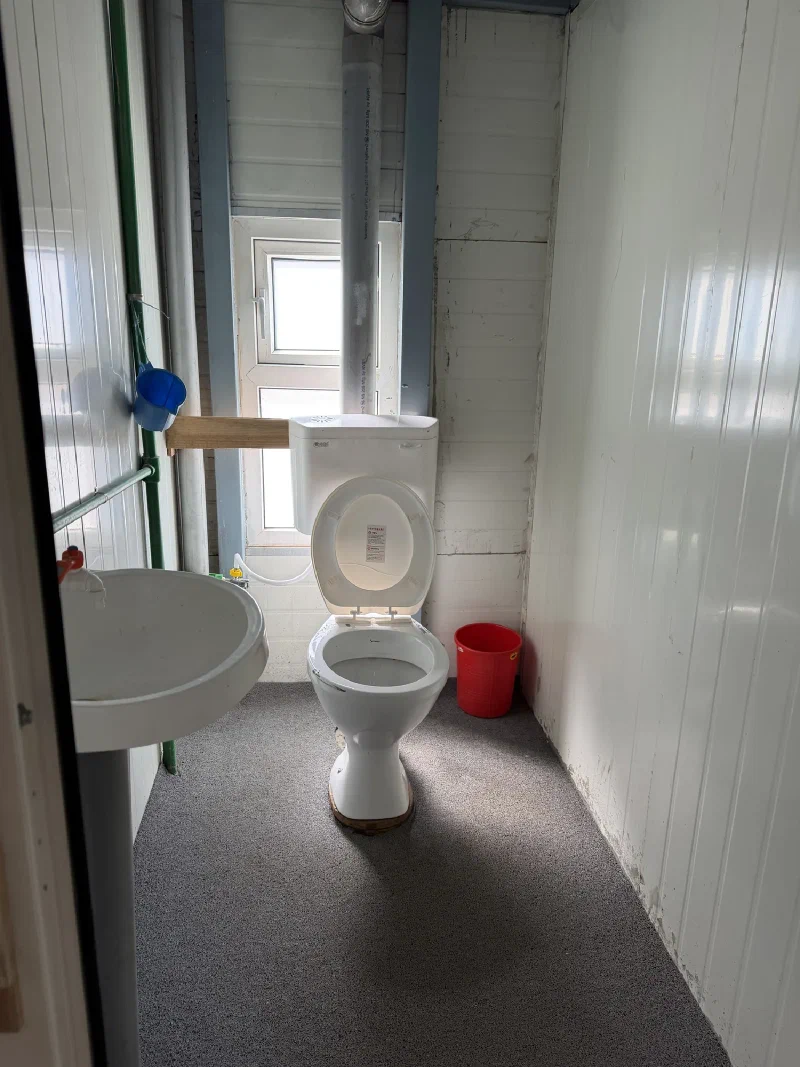
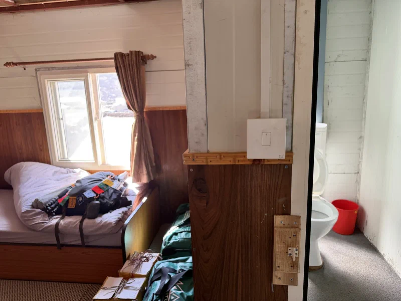
A private bathroom at this altitude is a luxury. It’s not heated, the water isn’t hot, and there’s a bucket and scoop for when the plumbing has opinions, but it’s yours and you don’t have to walk down a frozen hallway at 3 AM. Worth every rupee.
With Pokin resting, Nicholas and Po On went out to explore and do a short training hike, roughly as far as Pokin and Po On had gone the day before. I went along, obviously.
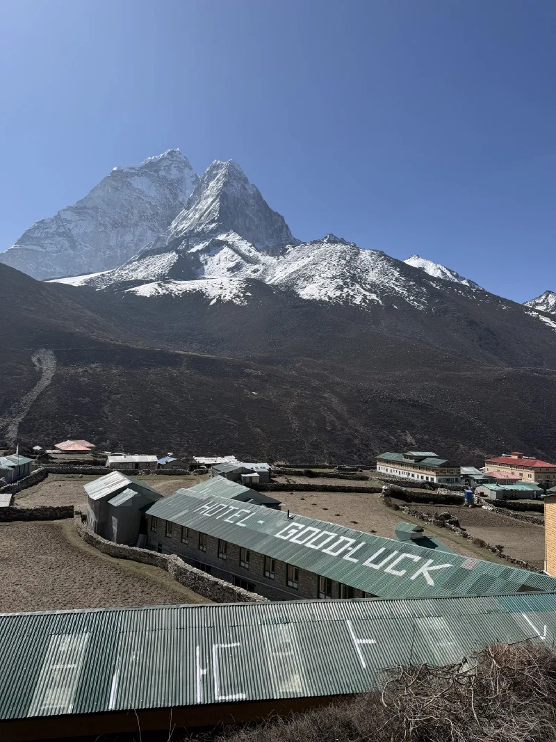
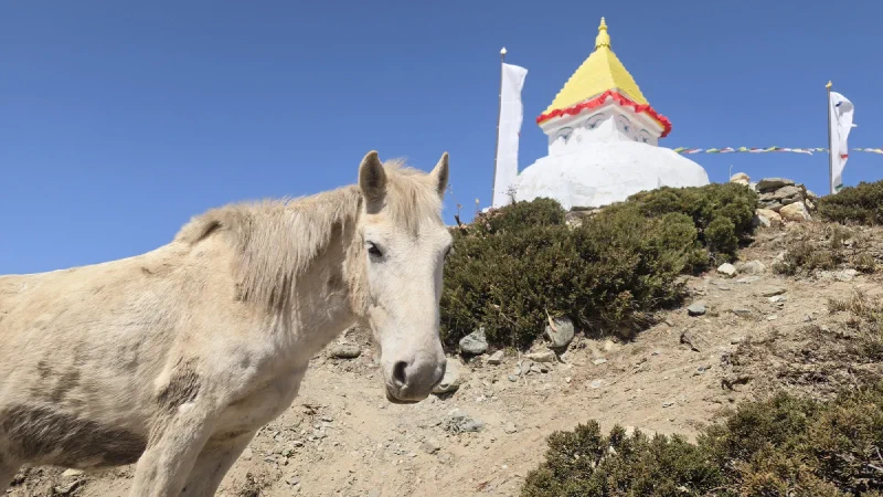
Dingboche from above. ‘Hotel Good Luck’ painted on the roof. They’re going to need it at this altitude.Found some horses wandering around the stupa. Just doing their thing.
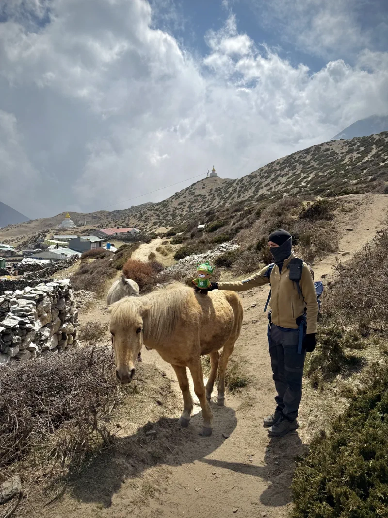
And then we found another one. This one was a different color, a tan that reminded me of someone back home. A certain lucky horse from Hong Kong who would absolutely not shut up about how GREAT the altitude feels.
Naturally, I had to ride it.
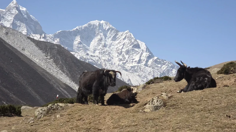
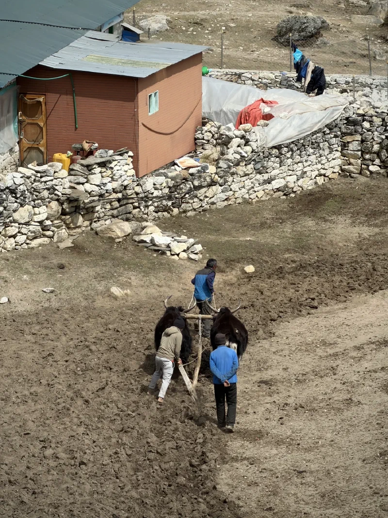
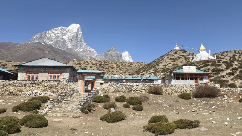
Sumi Bear, mounted cavalry. Nicholas is helping me up. As he should.Yaks doing absolutely nothing. Living the dream.Not all yaks get the day off. These ones are plowing a field by hand. Or by horn, I guess.The Snow Lion Lodge and French Bakery. Because what Dingboche really needed at 14,000 feet was croissants.
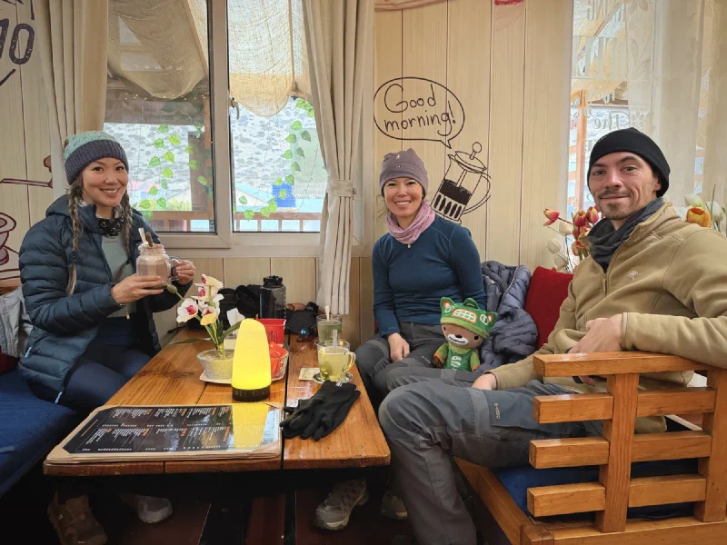
We ended up spending a good chunk of the afternoon at Cafe 4410, a place owned by a friend of DB’s. It’s named after Dingboche’s altitude in meters, and it’s surprisingly nice inside. American-styled, fairy lights, actual ambiance. Not what you’d expect between a yak field and a medical clinic.
Nicholas and Po On parked there with ginger lemon honey tea while laundry got sorted out. A rest day that actually involved resting. Novel concept.
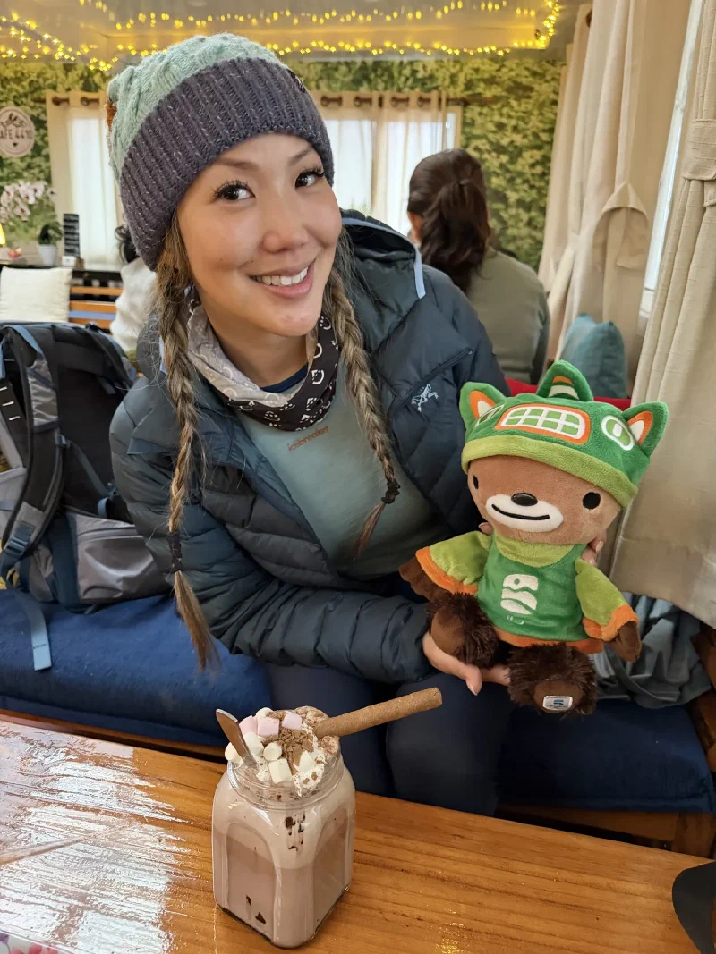
And then Po On did something wonderful. She got me hot cocoa.
Hot cocoa at 4,410 meters. Marshmallows. Whipped cream. Chocolate shavings. A wafer stick. Po On, you are a legend.
Not just any hot cocoa. This thing came in a mason jar with marshmallows, whipped cream, chocolate shavings, and a wafer stick. At 4,410 meters (14,469 feet), in a village accessible only by foot or helicopter. I don’t know how. I don’t care how. It existed and it was mine.
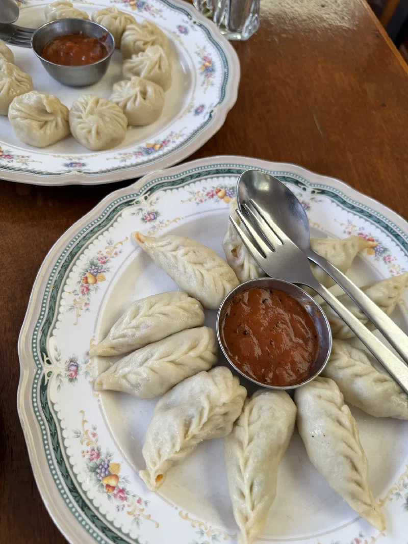
Cafe 4410. Warm drinks, good vibes, a ‘Good Morning’ sign on the wall. Almost forgot we were in the Himalayas.Momos. Two plates. Two styles. Pokin’s favorite, and honestly, they’re growing on me too.
The nice thing about the Mountain Medical Institute in Dingboche is the pricing model. One consultation fee covers your exam, all medications, and any follow-up visits for the same condition. You can keep going back.
For foreigners, it’s $75. For locals, $1.
Nicholas pointing out the pricing. $75 vs $1. The universal healthcare gap, printed on a piece of paper at 14,000 feet.
The follow-up wasn’t encouraging. The doctor said Pokin’s condition was stable but not improving. The ten medications he’d prescribed were holding things in place, but the fluid in her lungs wasn’t going away. High altitude pulmonary edema doesn’t get better at altitude. It gets better at lower altitude. He recommended she go down.
Going higher was off the table. Staying put was buying time at best.
So now we had a problem. Pokin needed to descend. The obvious destination was Tengboche, back to that heated room at The Himalayan where they’d stayed a few days earlier. It wasn’t too far, it was significantly lower, and she could rest properly.
But who goes with her?
If Nicholas went with Pokin immediately, Po On would have to continue alone with just a non-English-speaking porter. She wasn’t sick, but altitude was hitting her hard, and sending her up to higher elevation by herself wasn’t great.
If Nicholas took Po On up to Lobuche first to reconnect with the rest of the group, Pokin would have to descend to Tengboche on her own. Easier terrain, but still a full day’s hike at altitude with bronchitis and fluid in her lungs.
Neither option was good. They’d figure it out in the morning.
Tonight, though, Nicholas had other plans. The stupa was still up there. The sky might cooperate. And this time, he wasn’t going to let a little fog stop him.
Rest day in Dingboche. And by “rest day” I mean “hike straight up a mountain to 5,000 meters (16,404 feet) for fun.”
The logic goes like this: you spend a day at altitude doing a big climb, come back down, sleep at the lower elevation, and your body adjusts faster. Climb high, sleep low. It’s the golden rule of acclimatization and also a convenient excuse for Nicholas to drag me up another hill.
The hill in question sits right behind Dingboche. A ridge covered in prayer flags leading straight up to about 5,000 meters. No switchbacks, no false summits to give you hope. Just up.
But first, breakfast.
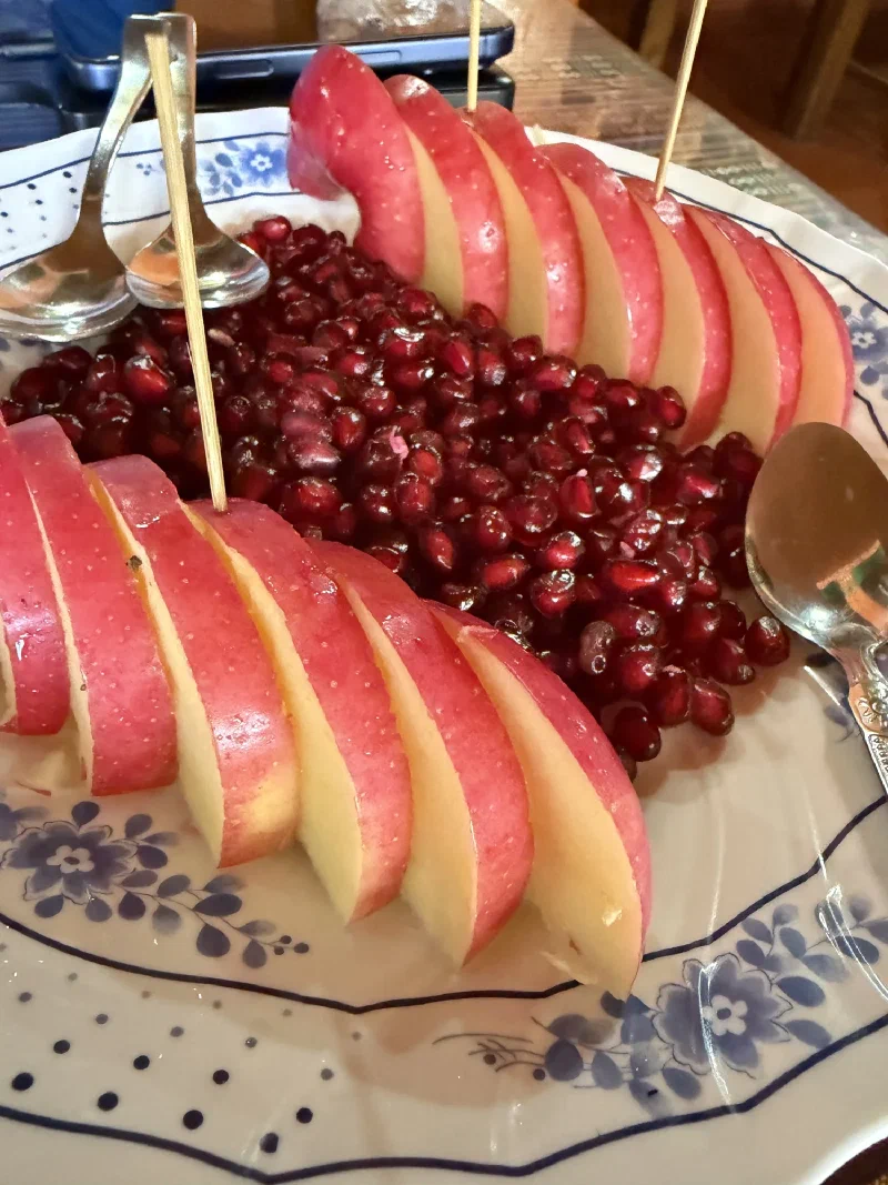
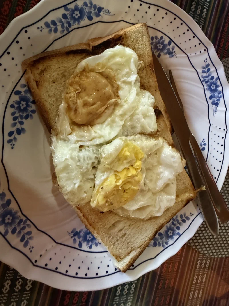
Fresh fruit at 4,410 meters. Pomegranate and apple, sliced and skewered. Manoj cuts this for us every single morning.Pokin’s usual. Two eggs, one toast, zero altitude awareness.
The porters carry an entire box of pomegranates and apples up the trail so we can have fresh fruit with breakfast each morning. Think about that for a second. Someone is hauling produce through the Himalayas so a bear and his friends can eat pomegranate seeds at 14,000 feet (4,267 meters). I’m not complaining.
Pokin wanted to do the acclimatization hike. Everyone, including Pokin, knew she probably shouldn’t. She’d been fighting a cough since Namche, and the last post ended with her barely making it into Dingboche. But she’s stubborn, and honestly, I respect it.
The compromise: Pokin and Po On would do the first quarter of the hill, then peel off on a side quest to a small monastery with Kerman, one of our porters. Short, manageable, still counts as climbing high.
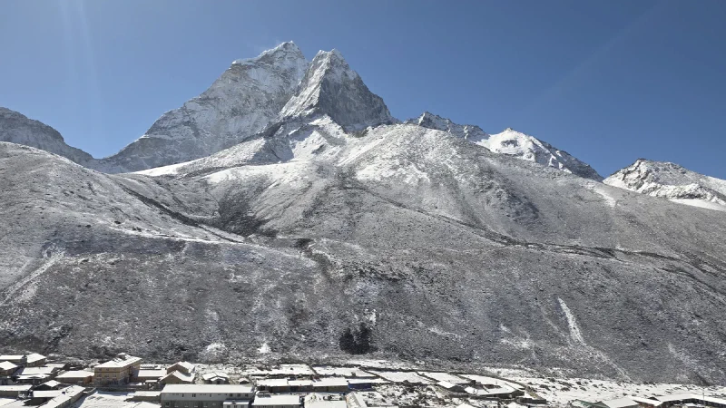
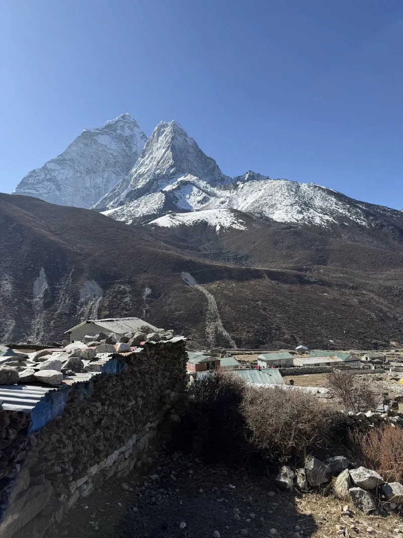
Ama Dablam from Dingboche. She really does just sit there and look like that all day.
The rest of us — Nicholas, Steve, Alice, Manoj, DB, and obviously me — were going for the top.
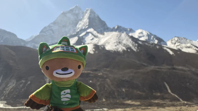
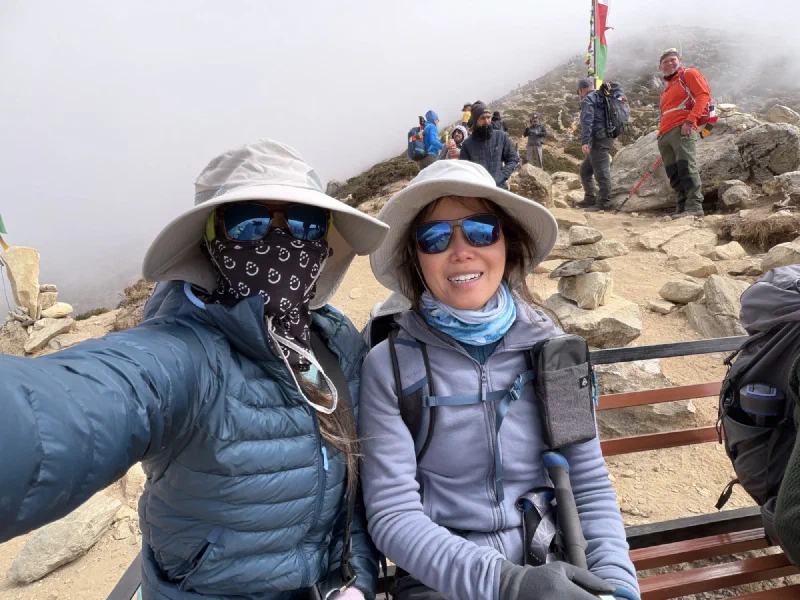
Steve gave me bunny ears. I will remember this.My official summit portrait. Ama Dablam in soft focus behind me because the mountain knows its role.
The grind was exactly what it looked like from below: steep, rocky, and relentless. No shade, no teahouses, no cinnamon rolls. Just cairns marking the path and prayer flags getting closer very slowly.
The last push. Everyone on this slope is questioning their life choices except the cairns.
Nicholas’s weighted stairmaster sessions — 117 floors with dumbbells back in Henderson — were paying off. He and Steve were ahead of the pack the whole way. At this altitude, every step costs twice as much oxygen as it should, and those months of training were the difference between grinding and suffering.
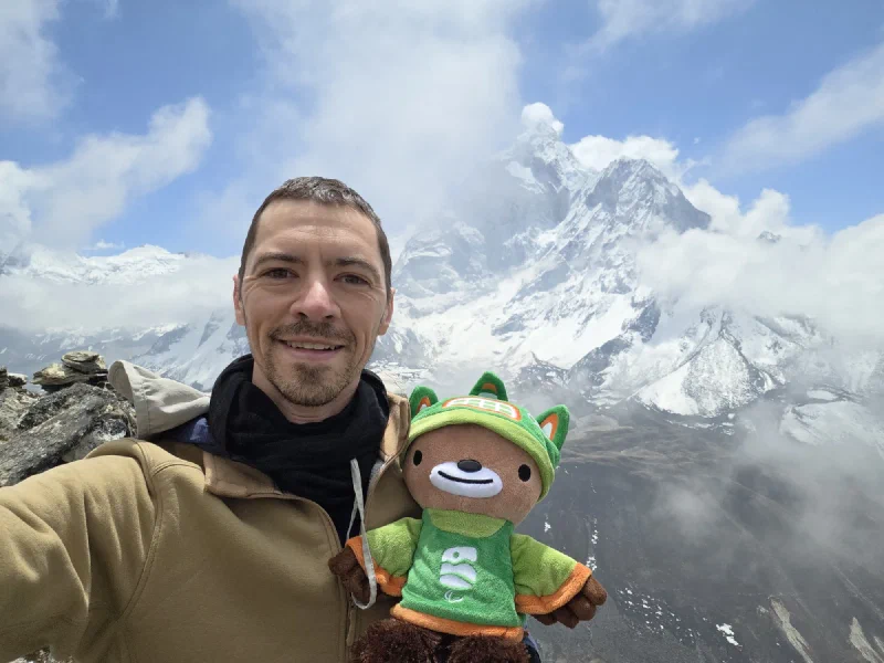
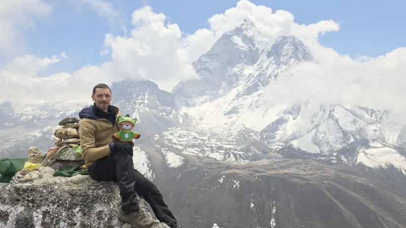
Me and my bud near the top. The clouds were rolling in, which only made it more dramatic.The view from the top. Ama Dablam, prayer flags, and a bear. Not a bad office for the day.
The view from the top was absurd. Ama Dablam right there, Imja valley stretching out below, snow peaks in every direction. I could see why people do this acclimatization hike even when their lungs are screaming at them to stop.
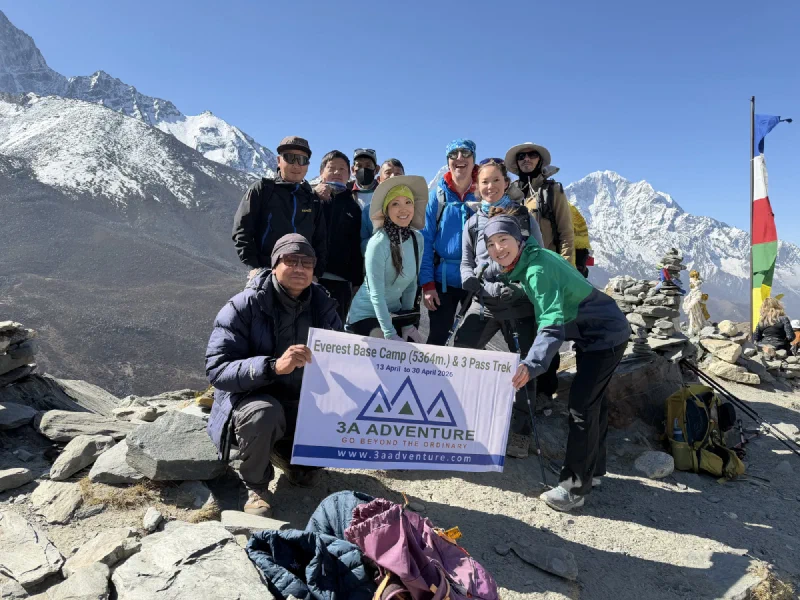
The summit crew. 3A Adventure banner, prayer flags, and everyone pretending they aren’t completely gassed.
Meanwhile, Pokin and Po On had done their portion of the climb and taken a detour to a small monastery tucked into the hillside. Kerman went with them as escort.
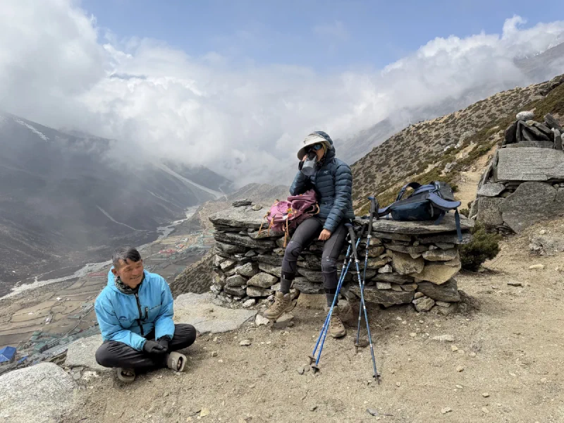
Pokin and Po On at their turnaround point. The prayer flags are optimistic. The clouds behind them, less so.Resting with a view. Dingboche looking tiny from up here.
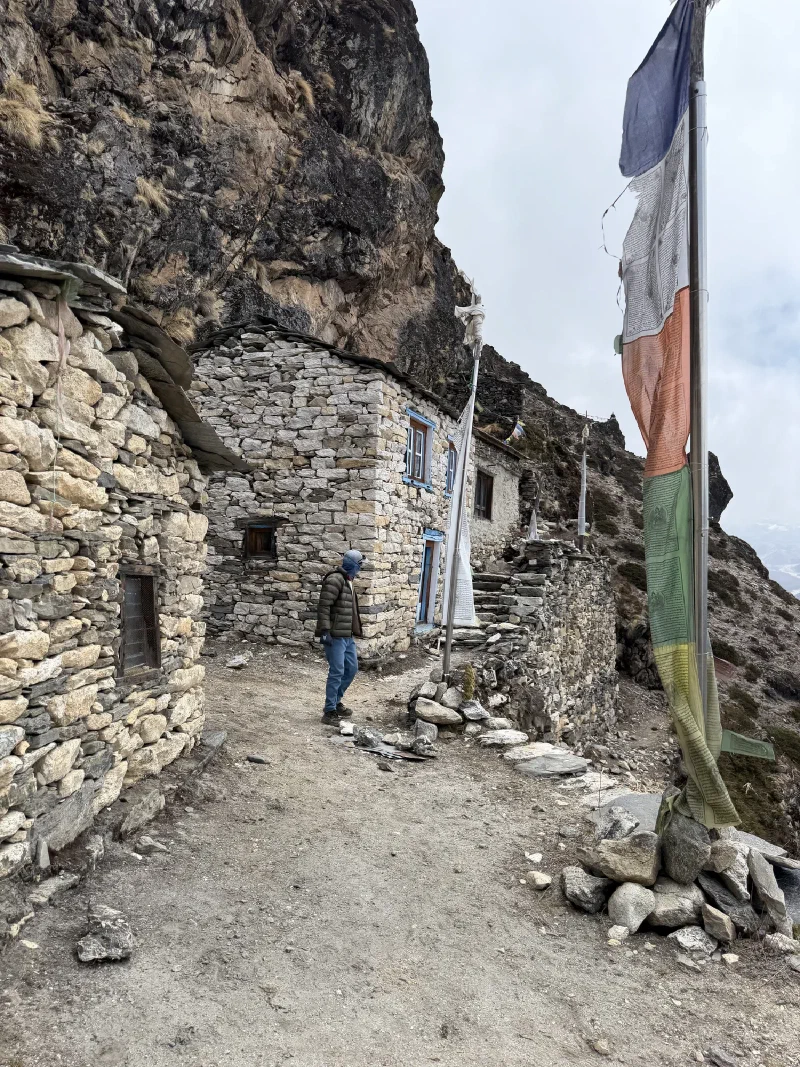
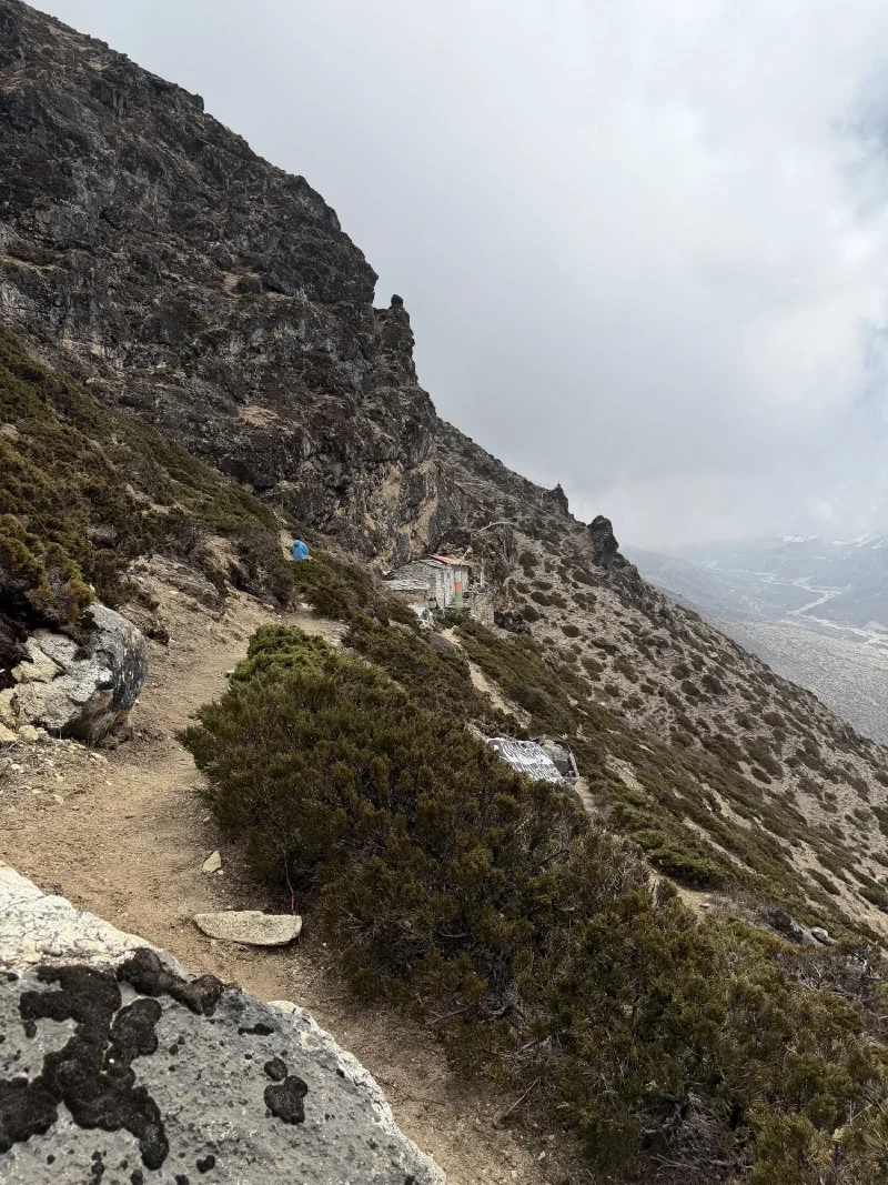
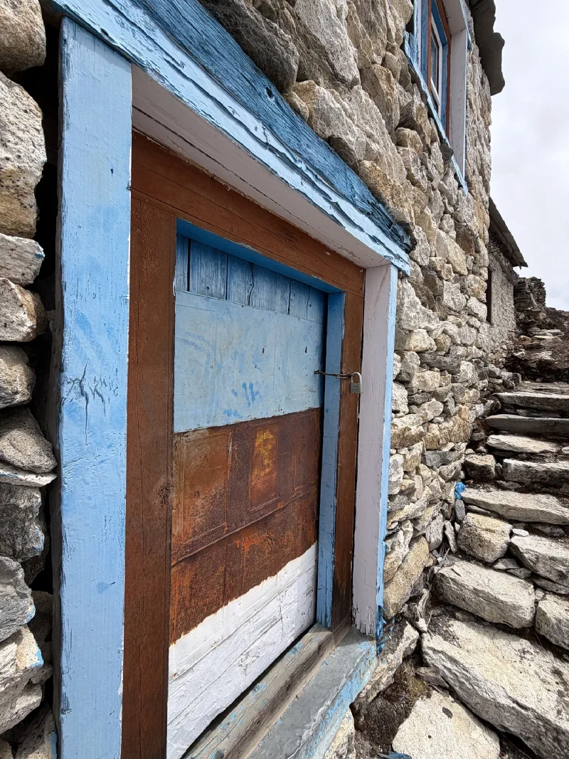
The monastery was old, built directly into the rock face with thick stone walls and faded blue window frames. The kind of place that’s been sitting on a mountainside for a few hundred years and has zero interest in your opinion about it.
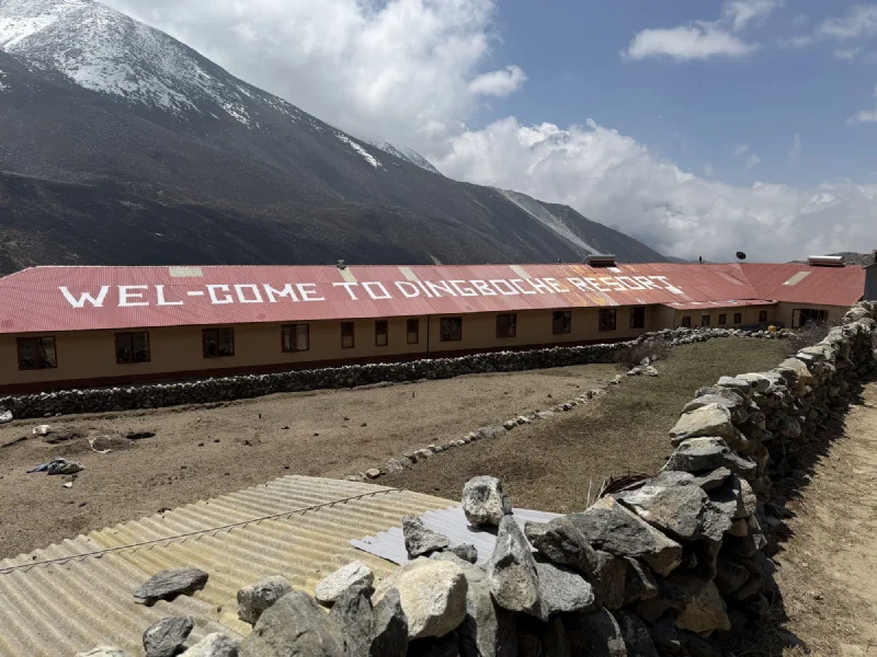
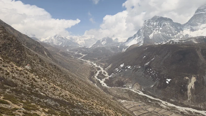
‘Welcome to Dingboche Resort.’ The sign’s doing a lot of heavy lifting with the word ‘resort.’Looking down the Imja valley. That braided riverbed carries glacial melt from some of the highest mountains on Earth. It doesn’t look like much from up here, but it’s the reason any of these villages exist.
Back at the lodge, it was clear Pokin had overdone it. Even the short version of the hike had been too much. Her cough was worse, and she looked like she might have a fever again. Nicholas took her to the clinic.
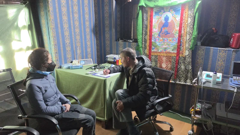
Second doctor visit of the trek. This one had a Medicine Buddha on the wall, which felt appropriate.
The Mountain Medical Institute in Dingboche is a proper clinic — actual exam room, actual doctor. Dr. Abhyu listened to her lungs, checked her vitals, and delivered the news: impending high altitude pulmonary edema and bronchitis. She shouldn’t go any higher. She could stay put and see if it improved, but it probably wouldn’t.
This was the moment the trip changed.
The group had planned to leave for Chukhung the next morning. Pokin couldn’t do that. So the decision was made: Steve, Alice, and DB would continue to Chukhung as planned. Nicholas, Pokin, and Po On would stay behind in Dingboche, give Pokin another day, and figure out the next move.
It was the right call, but it was a hard one. This trek was supposed to be the whole group, together, the entire way. Now it was splitting apart.
Nicholas had been scouting a spot for astrophotography since we arrived — a stupa on a hill about 20 minutes above Dingboche, with a clear view of Ama Dablam to the southeast. The previous nights had been fog, fog, and more fog. But tonight, he set an alarm for midnight and looked out the window.
Stars.
We packed the camera gear, hiked up in the dark, and set up on a ledge near the stupa. The sky was perfectly clear. Milky Way visible. Ama Dablam silhouetted against a wall of stars. Nicholas spent about 20 minutes dialing in settings and then started the intervalometer.
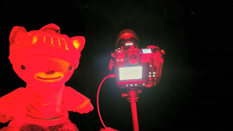
Me and the Z9, ready for business. Red light so we don’t ruin our night vision. I look appropriately dramatic.
The first frame looked phenomenal.
The second frame, 20 seconds later, was half covered in fog.
The third frame was gone. Total whiteout. Fog rolled up the valley with heavy winds, and the sky just vanished. We sat up there until 2 AM hoping it would clear. It didn’t.
Back to the lodge. Back to bed. Zero usable frames. Another night of Himalayan fog winning the battle.
But here’s the thing: Pokin’s diagnosis meant we’d be staying an extra day in Dingboche while Steve, Alice, and DB went ahead. Which meant one more night. The stupa was still there. The composition was still perfect. We’d get another shot.